Sajama – August 2025

Contents

Sajama
Sajama
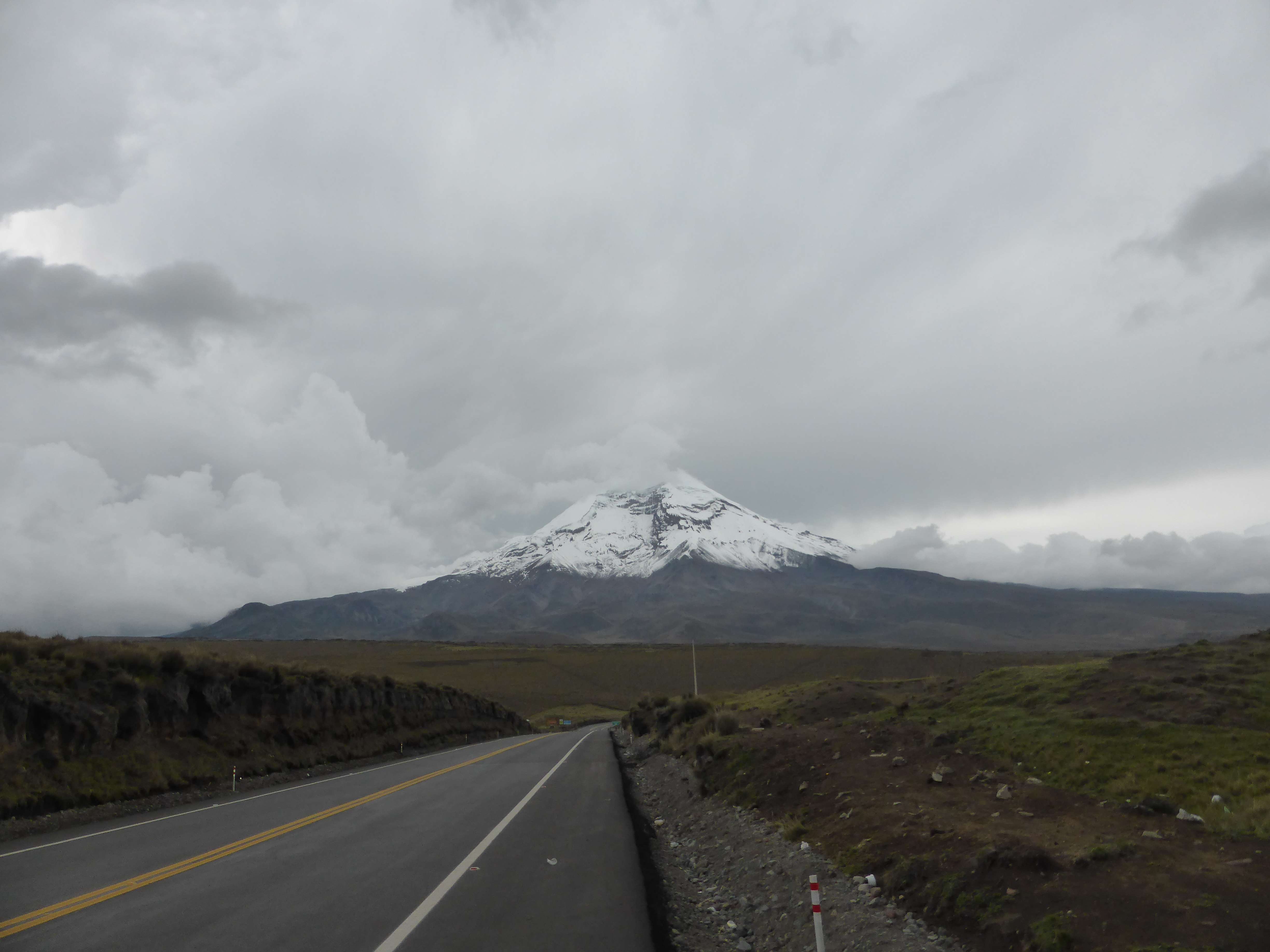
Sajama, from the road to La Paz.

Sajama

Sajama, at 6542m, is the highest mountain of Bolivia.  An enormous extinct volcano, the standard route to the summit involves mostly straightforward glacier travel above the high camp at ~5675m, which can itself be hiked from rough 4×4 accessible parking at ~4875m.  Whilst technically simple during the normal May to September climbing season, Sajama is enormously prominent and hugely exposed; the mountain experiences frequent, violent windstorms.  I ascended to the summit of Sajama, via its normal Northwest Ridge route and accompanied by Bolivian mountain guide Marcelo ‘Chelo’ Gomez, on August 5th, six days after arriving in La Paz. 

Trip Report

Calendar / Schedule
Acclimatization / Altitude Chart

I visited Bolivia in the summer of 2025 with the primary objective of making an ascent of 6485m Illampu, a gorgeous tectonic pyramid far north of Sajama.  I had been interested in attempting Illampu for many years, ever since seeing its complex summit looming on the front cover of Yossi Brain’s Bolivia guidebook, and reading about its challenging, airy routes.  Illampu kept coming into focus for me; it came up in conversation in various basecamps, a friend had stories of his first ascent on one of its harder direct lines, and Brain’s cover photo continued to inspire me from the bookshelf.
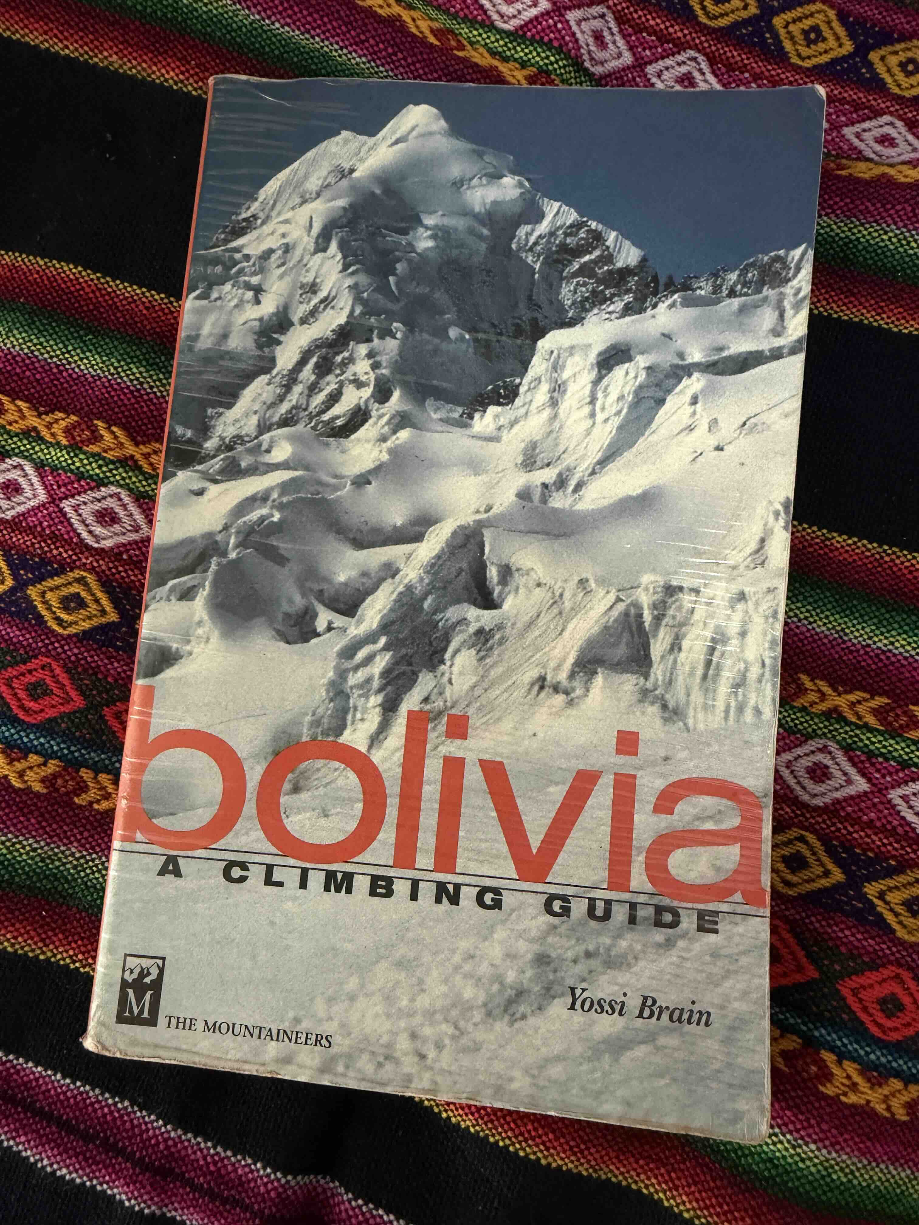
Illampu, adorning the cover of Brain’s guidebook

Ultimately my 2025 trip was quite disappointing; I failed rather low on Illampu, vomiting into the Bergshrund at the base of the route as my highpoint.  Food poisoning from a rest day in La Paz, after Sajama, proved too persistent to shake, and left me weak and compromised for the majority of my time in Bolivia.

My visit to Sajama National Park was intended only as a preparatory warmup for Illampu, and indeed, I had never intended to attempt Sajama itself on this trip!  My original plan going into the summer was to ascend lower and easier 6000m walkups, then head to Illampu once properly acclimated for more technical climbing.  Looking back, it is remarkable that I summited Sajama at all, and as I write with the benefit of hindsight, Sajama stands in my mind as a proud, memorable ‘consolation prize’ outcome to the summer.  At the very outset, my flights to Bolivia were delayed by over 30 hours, time which I was forced to spend waiting around in the San Salvador and Bogota airports.  It is interesting to note that it is quite possible this time wasn’t entirely wasted; given the Bogota airport stands at 2550m, I reckon that spending a day sitting around there may have contributed to preliminary acclimatization.  I ultimately arrived in La Paz two days later than planned, and frenetically rushed through my early acclimatization schedule so as to maintain enough time for a proper Illampu attempt.  I had planned to spend a few days sport climbing near La Paz for active acclimatization – this became one day, the afternoon of my arrival!  The sudden elevation gain was ruinous, and whilst I managed to onsight a few scrappy routes, I found myself getting totally gassed, lightheaded and dizzy, when linking more than a few moderate movements together.  I was not acclimated well at all, and due to time-frames throughout the duration of the entire trip I never really adapted fully.

Further delay struck on the road to Sajama town from La Paz.  Apparently a conflict had broken out between police and smugglers, and the two lane road was blocked by both a burning car and a burning 18-wheeler full of contraband!  This bizarre, incredibly sketchy scene cost us several hours, and had us arriving into Sajama much later than planned.  Far behind schedule, there was nothing to do but grin and bear it, and adapt the plan towards seeing if I could move faster.  I aggressively pushed, in the hopes of expediting my acclimatization.  Ironically, ‘pushing it’ often meant sleeping early, eating loads of food, hydrating more than I normally would, napping a lot, finding every opportunity possible to take downtime and maximize recovery.  It seemed to work, as I managed an uncomfortable summit of 6052m Acotango, a volcano adjacent to Sajama, on my fourth day in Bolivia.  Prior to this trip, my fastest time to 6000m ‘from sea level’ had been 8 full days, when on Pik Lenin in 2017.  Starting with ‘day 1 from sea level’ in Bogota Airport at 2550m, I managed to ascend to 6000m in five days from sea level on this trip.

From the summit of Acotango, Sajama immediately caught my eye and tugged at my sense of ambition – it’s an impressive, ruggedly gorgeous volcanic cone from all aspects, and when viewed from high on Acotango takes on a surreal, alien aspect.  The southern Bolivian volcanos are remarkably prominent to begin with, but it is their unique environment which largely contributes to making them so unusual to look upon.  Standing above desolate Altiplano, there is no mountain range or obstruction of any sort to the clarity of their figure, and with uniquely low humidity and clean air in the remote high-elevation national park, the range of visibility is incredible.  Atop Acotango, thoroughly thrashed by elevation, viewing Sajama and Los Payachetas, the twin volcanos Parinacota and Pomerape, all three peaks took on a sort of ferocity to my eye.  They’re so clear, abrupt, and ‘factual’; their landscape looks like it shouldn’t exist, but it unapologetically does exist, and the mountains look close enough to grasp if merely reaching out.  Could an ascent of Sajama be made by investing an additional day and a half, if returning to La Paz directly from the summit?  Chelo assured me that we could pull it off, given my pace on Acotango.  On return to our hostel in Sajama town, I immediately went into hibernation mode, taking a two hour nap and managing ten hours of sleep overnight.   

The climbing on Sajama was fairly accessible the entire way.  Reaching the high camp involves a short drive and an easy trek, and the route to the top is never steep or exposed.  Fields of sharp penitentes – snow ‘blade’ or ‘wave’ formations unique to equatorial mountains – did pose an interesting obstacle above high camp, but were not difficult to navigate.  The high camp itself was comfortable, with numerous established tent platforms and rock walls, and the route had a well broken boot pack from frequent climber traffic.  I summited Sajama on my 7th day from sea level (counting Bogota as day 1), or on my 6th data from La Paz – an absolutely unprecedented rapid ascent for me, personally, and this pace of ascent made for a significant challenge due to inadequate acclimation.  On summit day I struggled to maintain output, was especially sluggish when ascending the final ~100m, and felt intensely miserable atop the summit plateau!  The summit is broad and featureless, scoured raw by harsh wind, and felt unpleasantly cold in the early morning – we departed out tent at 2:55 a.m. and reached the top at 7:15 a.m. My pace felt miserably slow at the time, but I did pass almost all but one of the climbers who left earlier and were on the route ahead of me – it’s very hard to gauge how the balance of fitness and terrible acclimation impacted my speed.


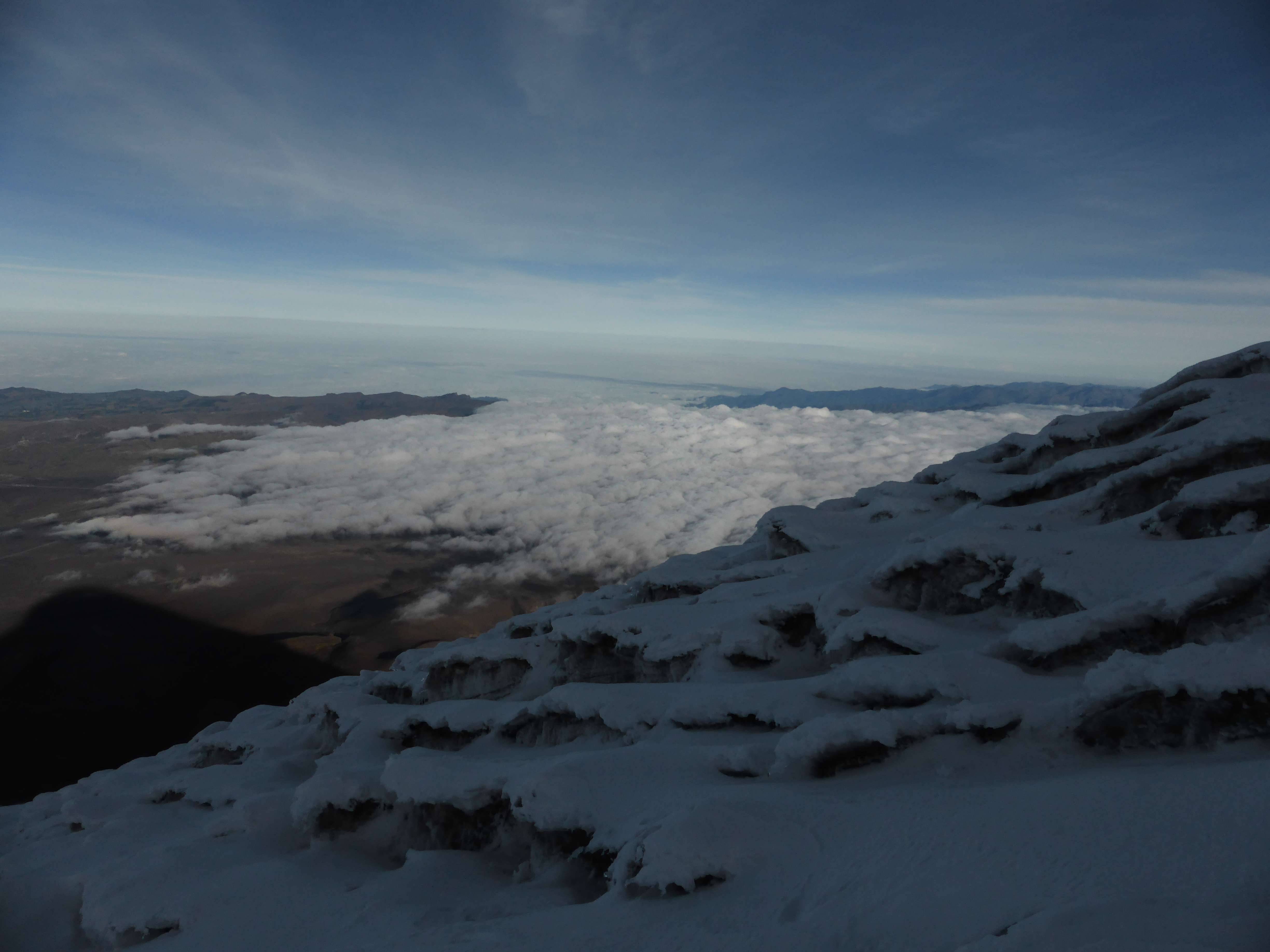
Views from the top were clear, but I was so slammed by altitude that I wasn’t able to properly enjoy them!  Sajama’s early morning shadow stretched out far below us, reaching all the way to Los Payachatas. I took photos from all perspectives, Chelo took my photo, and another Bolivian climber took a photo of Chelo and I – we quickly began to descend.  The climb down was very quick, and we found ourselves in high camp at 9:15 a.m.  From there a quick descent to our car, and a long drive, took us back to La Paz on the same afternoon as the summit. It’s surreal how rapid access to high peaks can be in South America, as compared to the great ranges in Asia where significant, multi-day approaches are often required.

One rest day fit into my remaining schedule, and within this singular day of downtime I managed to pick up fairly severe food poisoning in La Paz.  In spite of Immodium, I was sick and weak for the remainder of the trip, and had a tough time even getting into the highcamp for Illampu.  On Illampu I managed to reach the base of the route, the bergshrund, where I repeatedly vomited, felt thoroughly miserable, and decided to bail.  Ironically, the Illampu leg of my trip which was responsible for stimulating such a rushed pace on Sajama, was significantly more expensive and time consuming than Sajama, and was ultimately far, far worse of an experience than the pre-acclimatization ‘warmup’. Food poisoning when traveling is often out of our control, but I found myself wondering how awesome the trip might have been if I’d just gone solo and spent the entire time within the Sajama region!

Perhaps a return to Bolivia is in my future?  It might make sense to go for a longer time-frame on the next visit, with a partner, and incorporate more sport climbing into the trip – the rock around La Paz is certainly interesting, and there appears to be quite a lot of potential for a ‘mixed’ rock and altitude trip!   Illampu is still on my radar – possibly with a warmup on both of the Los Payachatas volcanoes next time?

Images

Chimborazo – January 2014

Chimborazo.

Chimborazo, seen from the summit of Cotopaxi.

6310m Chimborazo is a massive inactive volcano, and Ecuador’s highest mountain. Due to the earth’s equatorial bulge Chimborazo’s high-point is the spot located farthest from the Earth’s center, further than the much higher Himalayan peaks due to their more northerly latitude. Given the right time this also makes Chimborazo’s summit the point on earth closest to the sun.

...

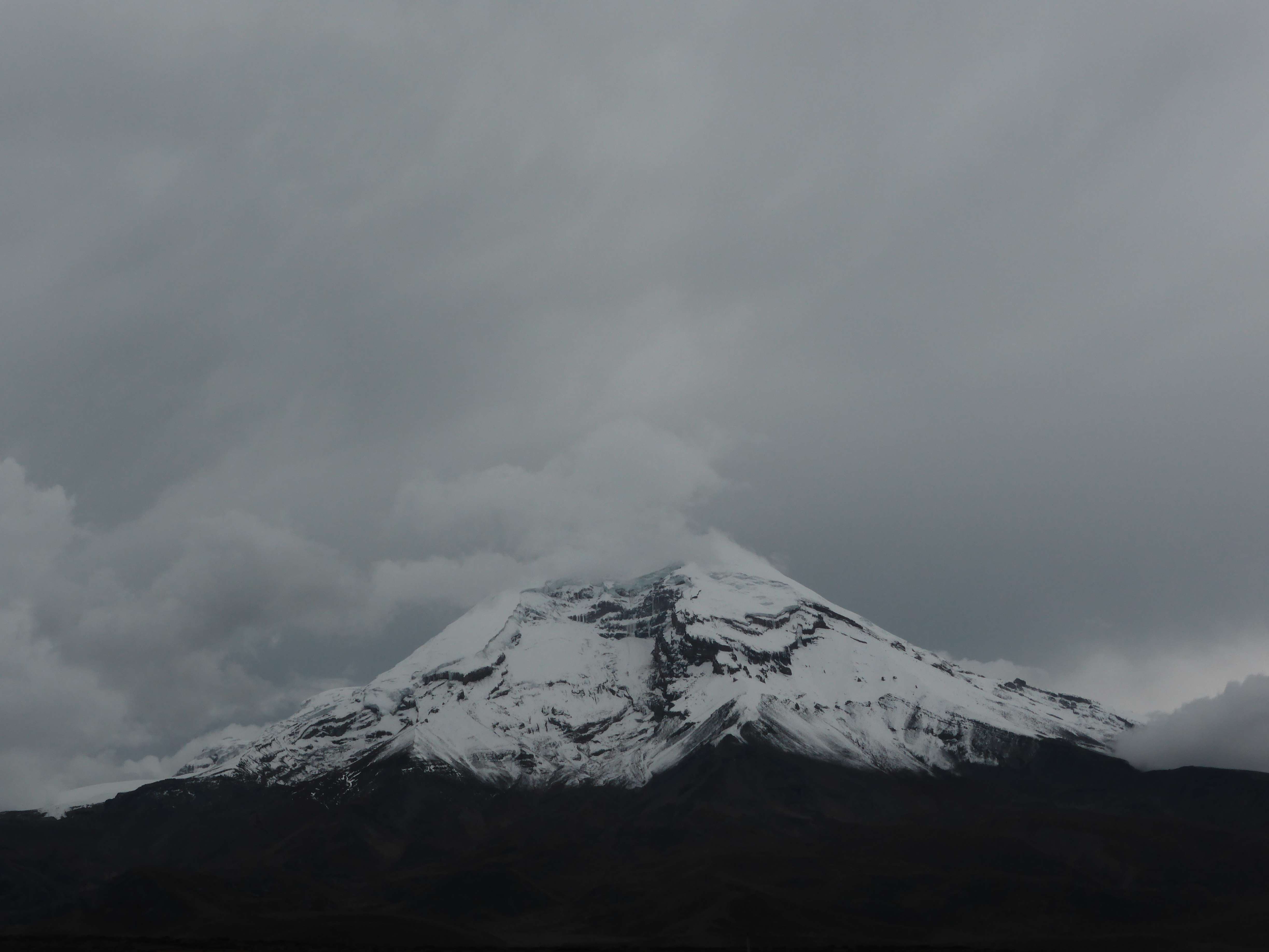
Chimborazo in the clouds, from the drive to the base of the mountain.

Along with the much lower Illiniza Sur, Chimborazo was one of my primary climbing goals while visiting Ecuador.  I came to Chimborazo thoroughly acclimatized, having spent almost two weeks climbing several of Ecuador’s other 5000+m volcanoes – my detailed climbing itinerary can be seen here.  I had enjoyed great snow conditions and reasonable weather at the beginning of my trip, successfully climbing the Illinizas, Cayambe, and Cotopaxi before travelling to Antisana, Ecuador’s fourth highest.

Antisana had chased me off with a lightning storm, fog, and abnormally warm air temperatures, leaving me well aware of Ecuador’s potential for rapidly changing weather.   I was nervous about Chimborazo – while the standard route’s technical grade is low, in recent years Chimborazo has gained notoriety for being out of condition.  I had read accounts of a dry route covered in ice, with high objective hazard presented by rockfall.  There was good news however; other climbers and Ecuadorian guides whom I had met at my hostel and on other mountains had informed me that Chimborazo had recently seen snowfall.  Fresh snow once consolidated would prevent rockfall, and also hopefully make for decent climbing conditions.

...

My campsite near the parking area.

Day 1:  My climbing partner, Ecuadorian mountain guide Pato, and I were camping at the base of Antisana, Ecuador’s fourth highest mountain.  We had arrived at Antisana the day before, with the intent of climbing it overnight.  Unfortunately the weather had conspired against us, and I had made the decision to bail.  With no sign of the weather improving we figured that it wasn’t worth sticking around and waiting for one more day, and I decided that instead of taking a day for rest, we may as well head straight to Chimborazo.

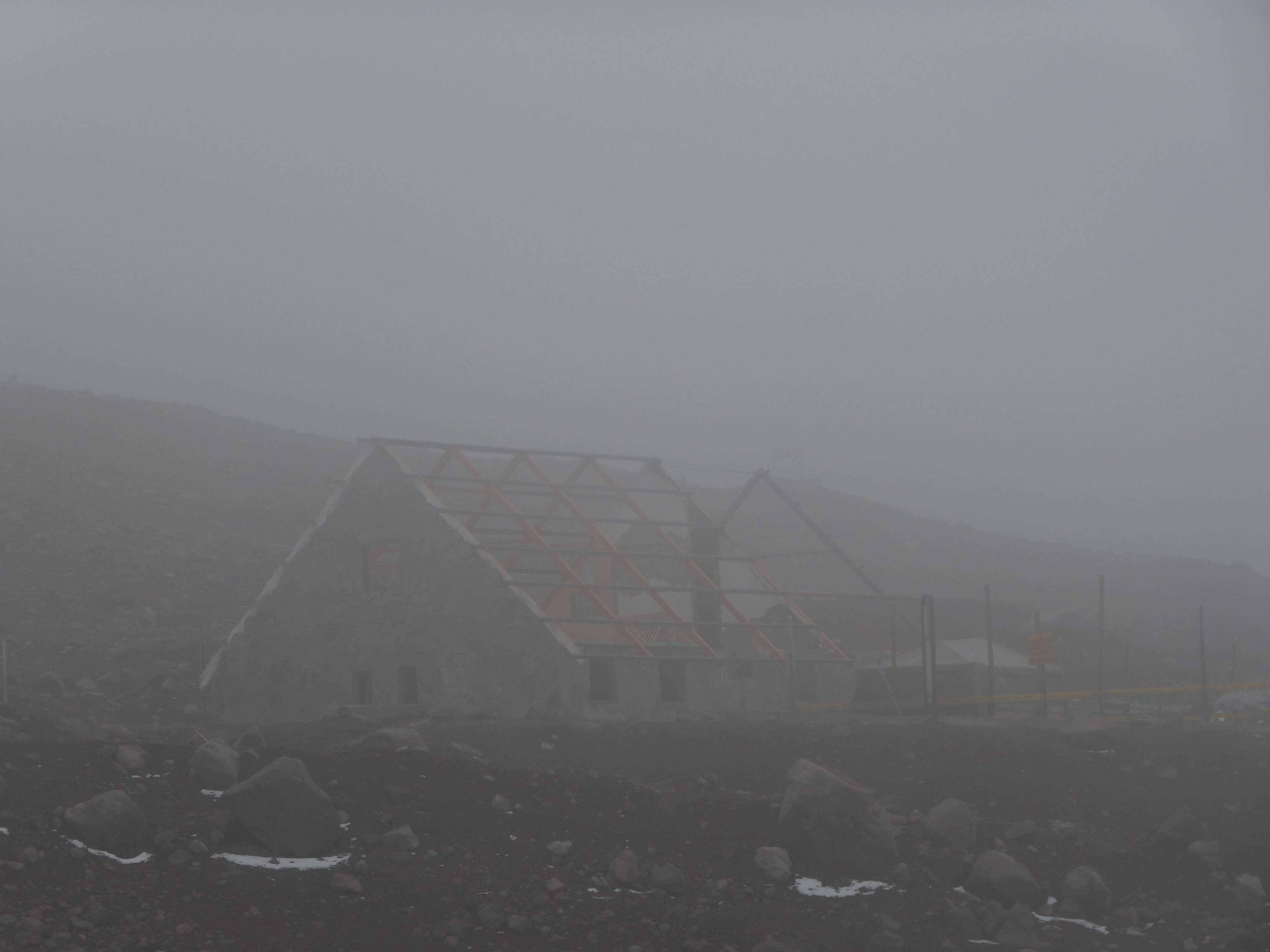
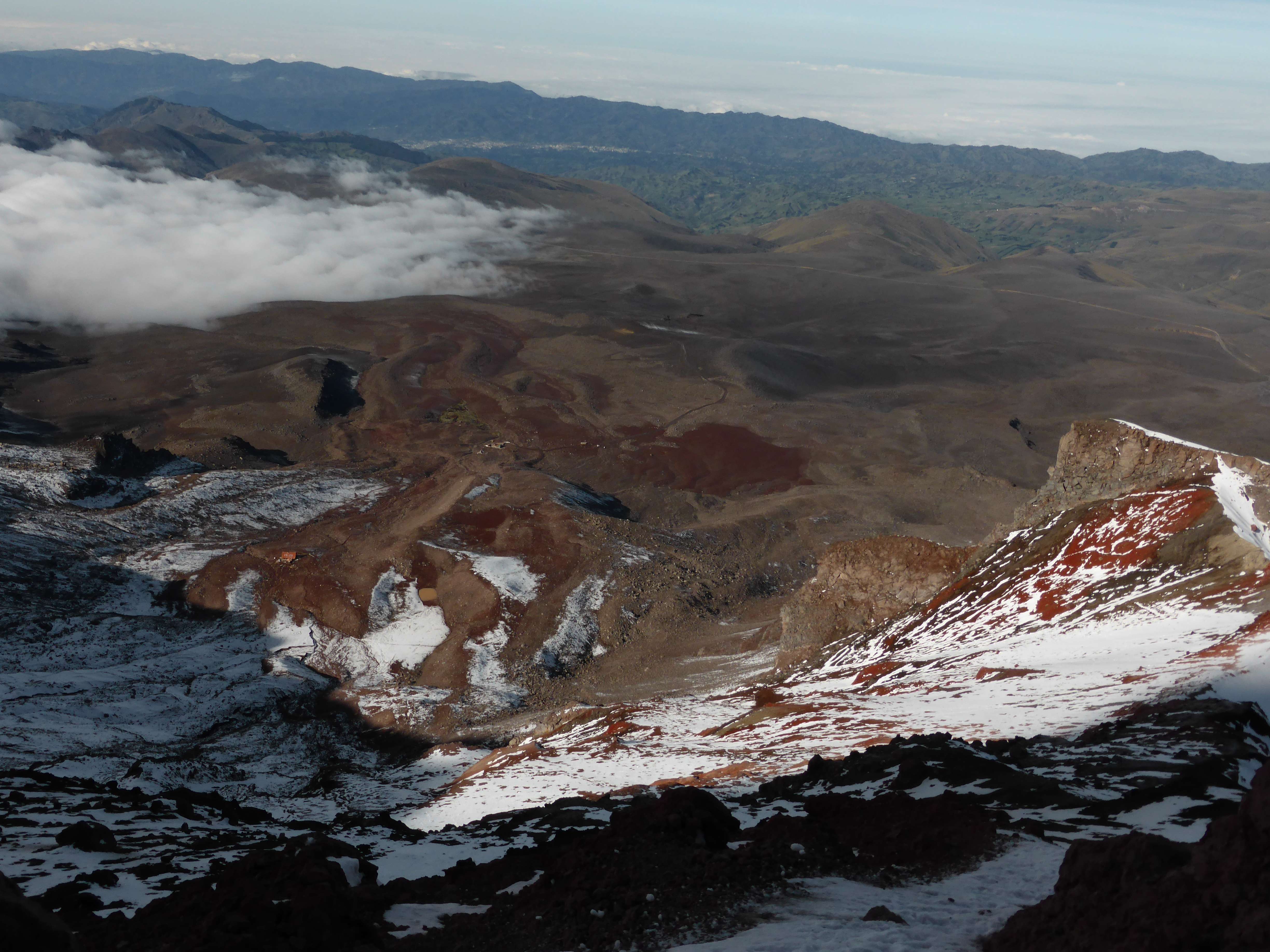
From the Reserva Ecologica Antisana we drove for almost six hours to the Reserva de Produccion Faunista Chimborazo, the nature reserve which contains Chimborazo.  Along the way we stopped in Ambato, Pato’s hometown, where we enjoyed a small feast at a local steakhouse.  After a fast check-in at the Chimborazo park gate we arrived at the ~4800m parking area near the base of the mountain, where everything was shrouded in thick afternoon fog.  Most of Ecuador’s more popular mountains are climbed from cabins, or refuges, but both of Chimborazo’s were closed at the time of my visit, so I pitched camp behind a makeshift cabin being used by the construction workers.  The lower Carrel refuge stood close to my campsite, while the higher Whymper refuge was some ~200m up the mountain.

...

The incomplete Carrel refuge near my campsite.

I was feeling uncertain of the weather due to the amount of fog, but knew that we had a spare day if we needed it.  I ate a light dinner, filled my water bottles with hot water from the workers’ cabin, and went to sleep early.

Day 2: Awake around 10 p.m., I ate some snacks and began preparing my gear.  The fog had cleared overnight, and the sky shone with thousands of stars.  My stomach was feeling uncomfortable.  I suspect that this was due to the water which I had taken from the workers’ cabin.  This water had been boiled, but was sitting in a very large communal pot.  Not knowing how long the water had been boiled for, or how recently, or whether the water in the pot had ever been changed out, or whether it was clean from numerous groups using it, or even how long it had been sitting, I shouldn’t have taken any.  I had even brought my own water, a 6L bottle bought in the city!  These stomach issues, and by extension a lack of good nutrition prior to beginning, would later contribute to the climb’s difficulty.

We began hiking up the gentle slopes of the lower mountain at 11:00 p.m.  We passed the Whymper refuge around 30 minutes later and soon reached snow.

Below el Castillo, the Veintimilla summit ahead.

Below el Castillo, the Veintimilla summit above.

The lower section of Chimborazo’s standard route is known for rockfall hazard.  This area is only moderately steep, but climbs directly below numerous cliffs of loose rock, among them el Castillo, ‘the castle’, a large cliff / rock formation along the ridge above which frequently sheds boulders down the mountain.  There is only one clear way up past the cliffs, leading some to refer to this section as ‘the corridor’.

Chimborazo106

The slopes below el Castillo.

It was a clear but cold and windy night.  The low air temperature was likely to our benefit however, and we experienced no rockfall below el Castillo.  When everything is frozen solid, otherwise loose rocks tend to be stable.  I was soon climbing in my down parka, utilizing my full layering system to maintain a comfortable body temperature, and between my ski goggles and neck buff had my face completely covered.

Looking down at el Castillo from the ridge above.

Looking down at el Castillo from the ridge above.

With no difficulties in route finding we quickly reached the ridgeline which connects el Castillo and Chimborazo’s Veintimilla summit.  We gained the ridge to the climber’s right of el Castillo, an obvious spot given the steeper terrain on either side of it.  Heading up the ridge we soon discovered that the snow on the ridge was soft and loose, impeding each step upwards with a half-step slide back down.  Several crevasses posed minor obstacles, but they were mostly off-route, easy to see and avoid.  Stretches of the ridge were moderately steep, around 45 degrees at steepest.  The loose snow made climbing physically strenuous, but as wind howled past us we continued upwards, one step at a time, focused.  In darkness and biting wind the soft snow of the ridge seemed to stretch on for an eternity, with Pato and I moving at what felt like a snail’s pace within the tiny spheres of light provided by our headlamps.

Moving up the ridge, the refuge far below.

Higher up the ridge, the refuges far below.

Looking down the ridge.

Looking down the ridge.

Around 5:30 a.m. we finally reached the Veintimilla summit, the first morning light just beginning to glow on the horizon.  Chimborazo has several summits, of which Veintimilla is the second highest.  Chimborazo’s true high-point, the Whymper summit, lies several hundred meters to the east of Veintimilla across a large, flat plateau.  Many climbers reach Veintimilla and stop, without enough time or energy to cross the plateau and attain the true summit just tens of meters higher.  I was well aware of this, and before even coming to Ecuador had been firm in my intent to make a full ascent of Chimborazo and stand upon the Whymper.

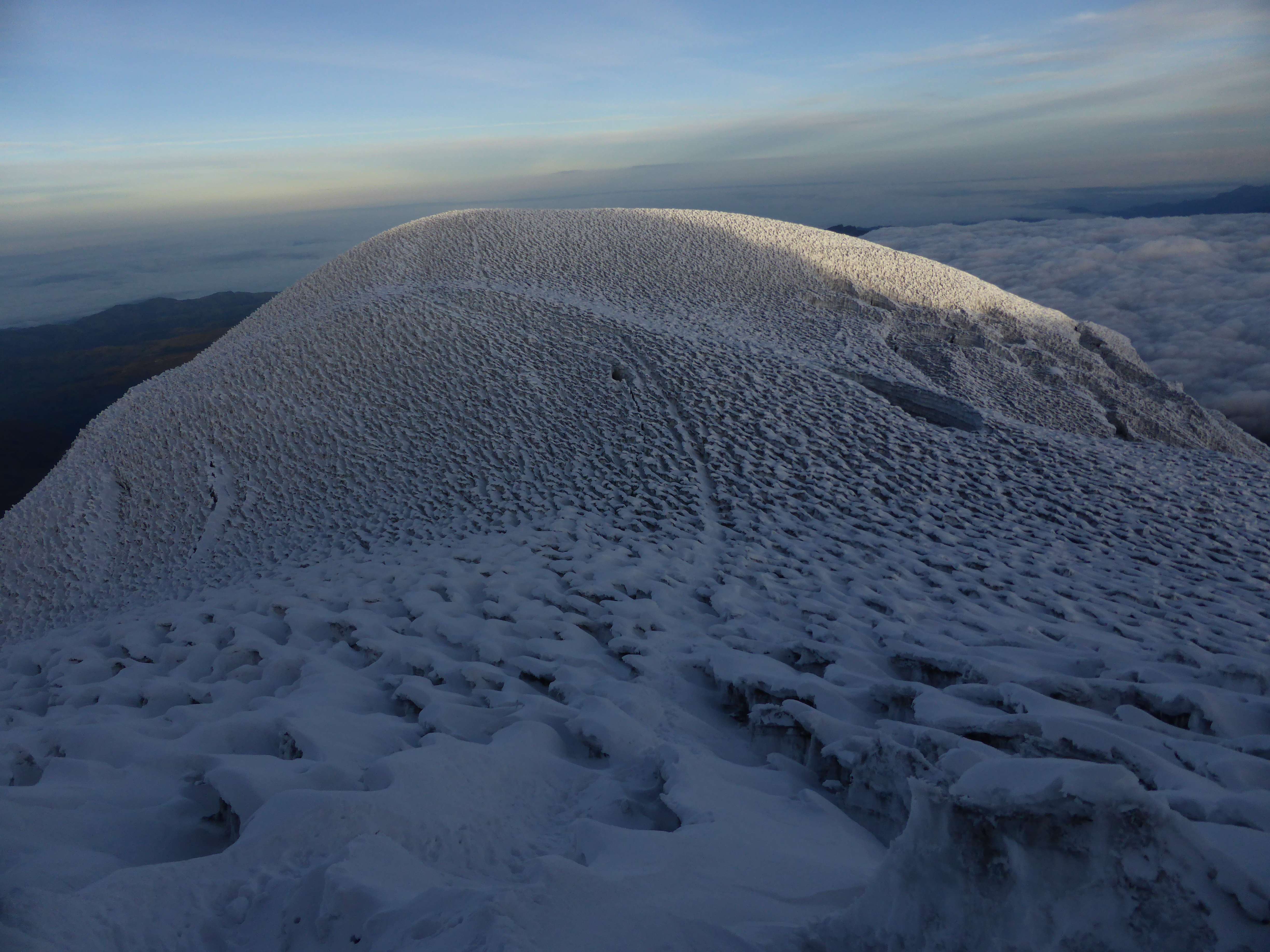
As we reached the end of the ridge and level terrain lay in front of us, I was amazed to see an enormous field of penitentes stretching across the summit plateau.  Penitentes are a high altitude snow formation found throughout the Andes, and while I knew that they were a common occurrence on Chimborazo it was a shock to see them in person.  Each around a meter high, they resembled the waves of a stormy ocean and looked daunting to cross.

Looking back across the penitentes towards the Whymper summit.

Penitentes above 6000m.

Standing in pre-dawn glow on the Veintimilla at some ~6270m, physically tired, this new obstacle sprawling before us looked imposing.  My thoughts were racing.  I had prepared hard for this trip.  Months spent training, days upon days climbing stairs, cycling, all of my research, carefully saving money, all for the dream of attaining this summit.  My goal was now visible just a few hundred meters away from me.

Pato, looking across the plateau, said “It’s complicated, it will be tiring.”  We looked at each other, and I started to say “We should give it a shot, let’s wait for the sun to rise.”  Maybe he saw it in my face, or perhaps he knew from climbing with me for the past two weeks; I was certain that I still had the endurance and the willpower to reach Whymper and descend safely.  Before I had finished speaking he said “O.K., let’s go!”

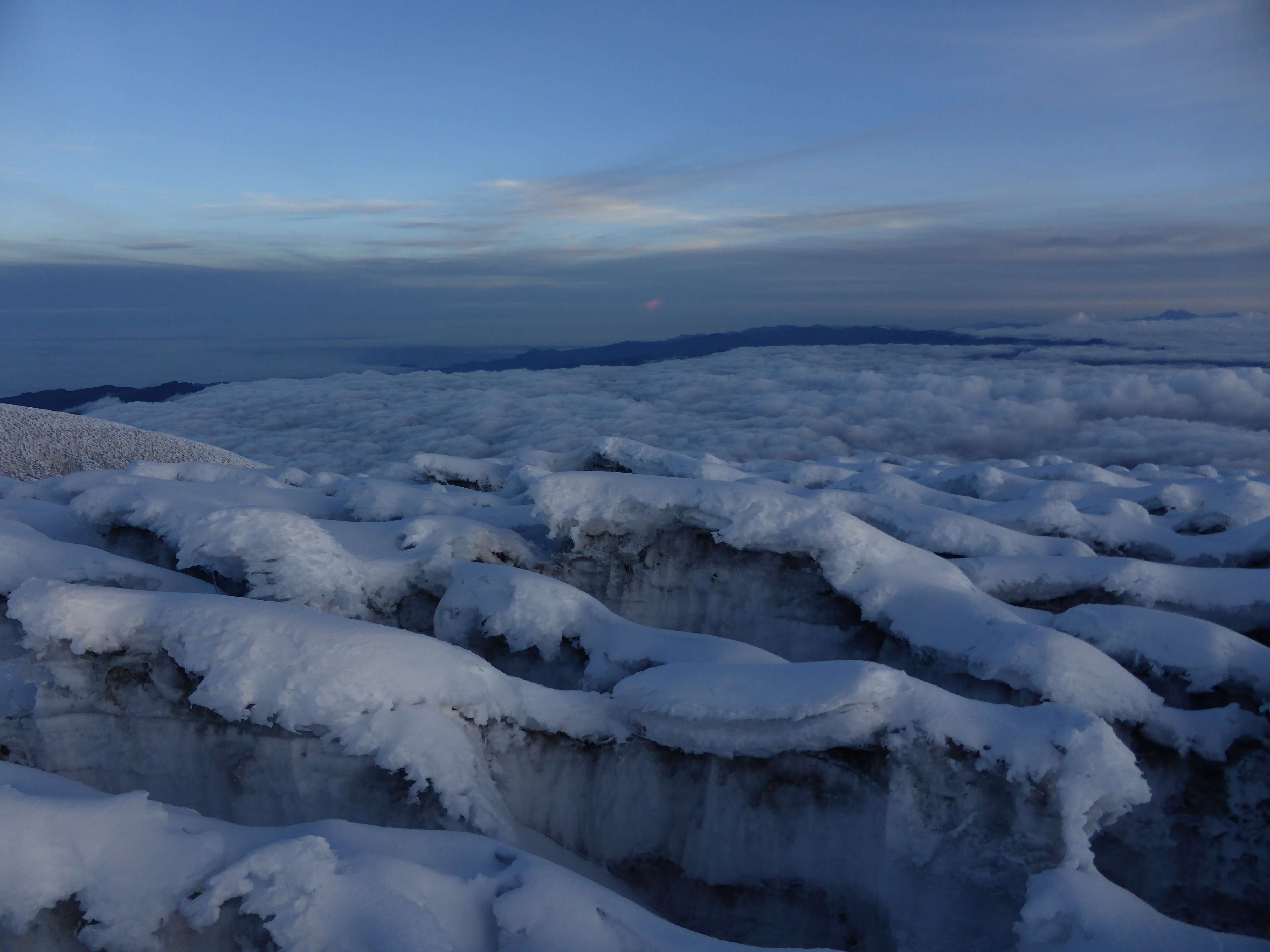
A sea of clouds below fields of penitentes.

A sea of clouds below fields of penitentes.

We started off over the plateau, first slightly downhill and then straight across.  The penitentes were covered in several inches of fresh snow, making them messy to navigate.  The troughs between penitentes made for anything but level terrain, and the crossing was an exhausting follow-up to the loose snow ridge we had ascended earlier.

Looking back at the Veintimilla summit from the Whymper summit.

Looking back at the Veintimilla summit from the Whymper summit.

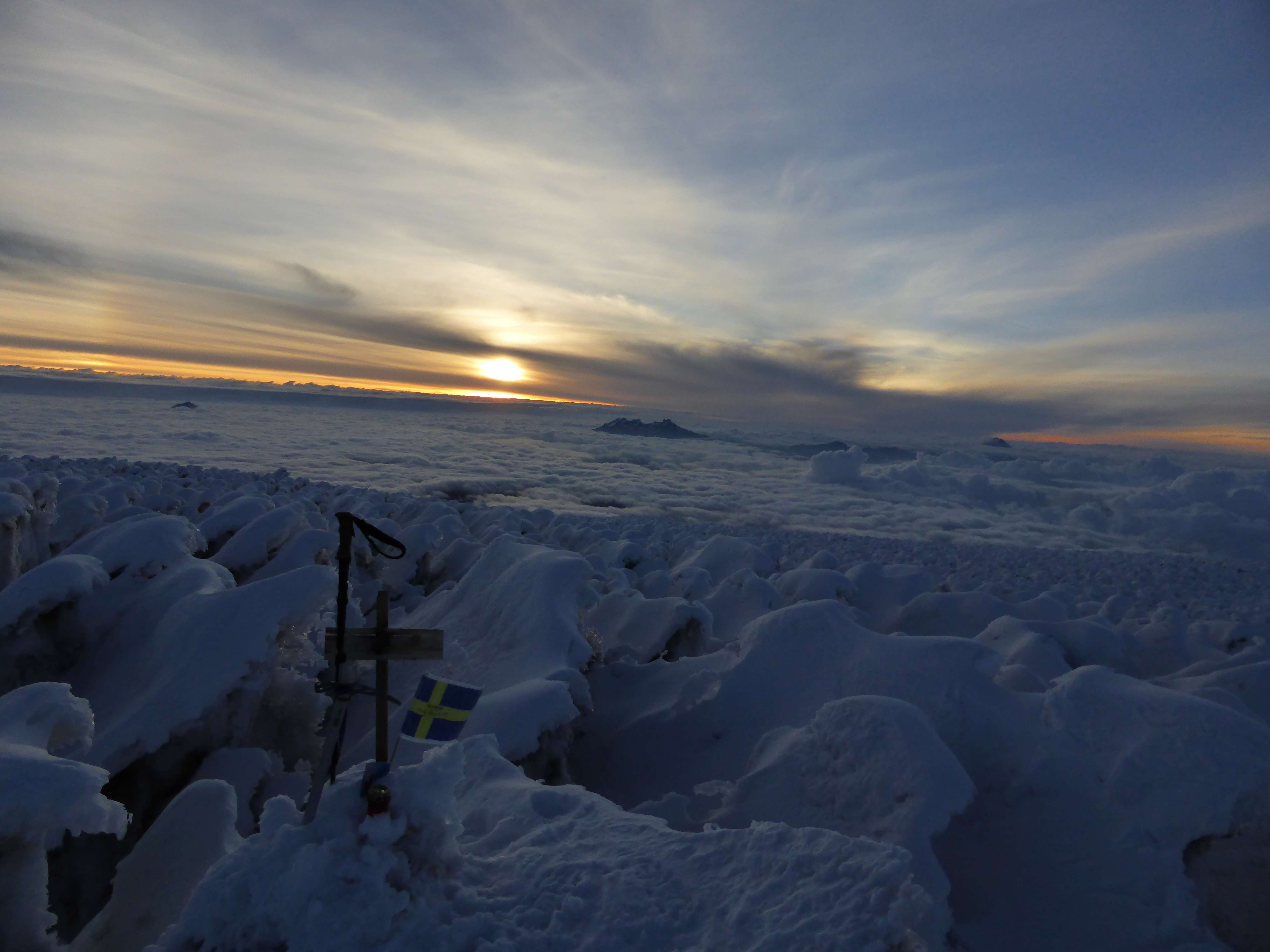
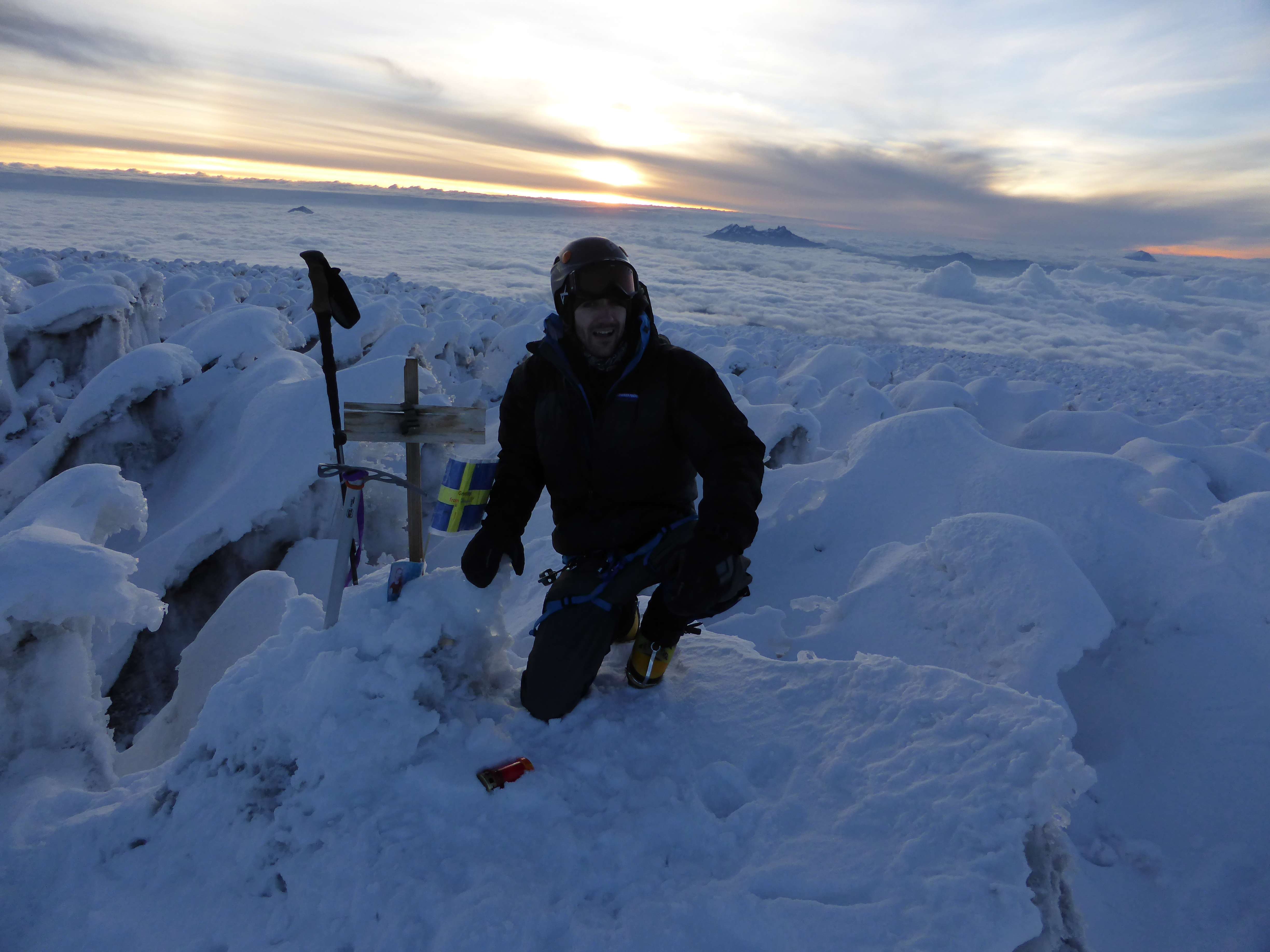
In spite of the terrain I was feeling fine with the altitude.  Clear headed if physically tired, my thorough acclimatization was paying off.  After some 45 long minutes we had finally crossed the plateau.  At 6:20 a.m. we found ourselves at the Whymper summit, marked with a small wooden sign and a Swedish flag left by other climbers.

The penitente-covered plateau between the Veintimilla and Whymper summits.

The penitente-covered plateau between the Veintimilla and Whymper summits.

The Whymper summit.

The Whymper summit.

Far below us the sun rose behind Carihuairazo.  At 5018m Carihuairazo looked tiny in the distance.

Pato in the Penitentes on the summit.

Pato in the Penitentes on the summit.

Sunrise over Cairhuairazo from the summit.

Sunrise over Carihuairazo from the summit.

We stayed on the summit for about twenty minutes, just enough time to hydrate and take some photographs.  It was early, but still important for us to descend quickly before the sun warmed the mountain and softened the snow.

Tired and happy on the summit.

Tired and happy on the Whymper summit.

I had drunk about a liter of my water on the summit, and as we walked back across the plateau my stomach began to churn.  Alone throughout the entire climb thus far, as we regained the Veintimilla we met two other climbing teams still ascending the mountain.  Both would stop at Veintimilla, it being too late in the day to continue across and still safely descend on firm snow.

Looking back at the Whymper summit from Veintimilla.

Looking back at the Whymper summit from Veintimilla.

Another team approaching the Veintimilla summit.

Another team approaching the Veintimilla summit.

Below Veintimilla we reached the top of the ridge and began to climb down carefully, cautious of the loose snow underfoot.  By now my stomach was boiling, and I stopped to vomit.  This stomach discomfort persisting all the way back to basecamp and throughout the rest of the day.  I cannot be certain what caused my stomach issues, but I strongly suspect that the water I had taken was the culprit.  I considered whether I was suffering altitude sickness, but found it unlikely given my otherwise good condition.  I have experienced nearly debilitating altitude sickness in the past, but have never encountered nausea as a standalone symptom.  In my experience an onset of mountain sickness for me is always characterized first by ataxia, and then by headache – neither of which were present.

Clouds and penitentes.

Clouds and penitentes.

After being sick I immediately felt much better, but dehydrated.  Drinking more water, my stomach almost immediately began to complain again – it seemed that the descent would be an uncomfortable one.

Looking back up the ridge towards the Veintimilla summit on descent.  Zoomed in, the other team can be seen descending near the middle of the ridge.

On descent, looking back up the ridge towards the Veintimilla summit. Zoomed in, another team can be seen descending near the middle of the ridge.

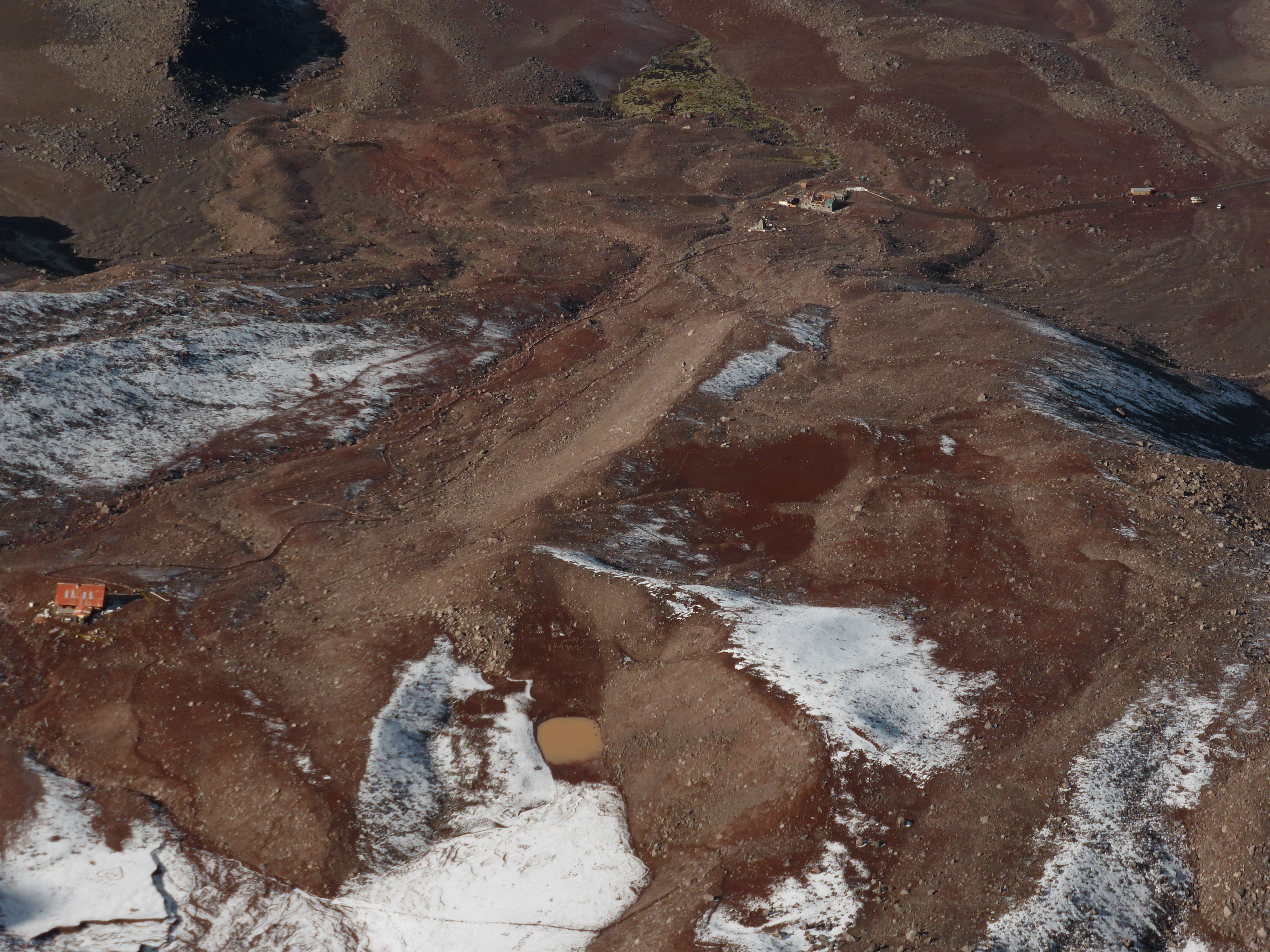
The sun warmed us up and the air temperature rose quickly.  Partway down the ridge I removed all of my warmth layers and continued in only a base layer and a fleece.  Far below us the two refuges and the workers’ cabin could be seen at the base of the mountain, my tent a tiny speck.

The workers' hut and my campsite are top right, near the cars.  The two refuges are center and left.

The workers’ hut and my campsite are top right, near the cars. The two refuges are center and left.

As we reached the bottom of the ridge we decided to descend via a longer variation, following the ridge below the base of el Castillo all the way down.  This would make the descent around 45 minutes longer, but much safer due to the softening snow and potential for rockfall on the slopes below el Castillo.  The ridge past el Castillo is very gently sloped, which also made this variation easier on the knees, and generally more comfortable after our tiring ascent.

Following the ridge down, passing underneath el Castillo.

Following the ridge down, passing underneath el Castillo.

We returned to camp at 10:30 a.m., where I drank a litre of my bottled water, ate some bread, and took a 20 minute nap before packing up for the drive back to Machachi.  Chimborazo was a physically challenging climb, more than I had expected it to be. In particular the loose, soft snow on the ridgeline and the fields of penitentes on the summit plateau presented tests of endurance on less than ideal conditions.  With both refuges closed the climb was long, covering more than 1500m of gain.  At the end the challenge added to the reward; my preparation, training, and planning had been sufficient.  I was delighted to have realized my goal of reaching the Whymper summit, and very pleased to finish my climbing trip with a successful ascent of Ecuador’s highest.

Driving towards Chimborazo.

Driving towards Chimborazo.

Accessibility

Chimborazo, aside from its variable conditions and high altitude, is one of Ecuador’s more accessible mountains.  Good nearby road infrastructure makes accessing the park and mountain relatively straightforward. The refuges, if open, would make overnighting at the base of the mountain relatively comfortable. Climbing Chimborazo involves glacier travel at high altitude, and good acclimatization is essential to a safe and successful climb.  The conditions on the normal route are known to be variable, and the potential for rockfall is definitely there.  Recent snowfall made the mountain safer during my ascent, but also contributed to the difficulty of the ridge and penitente fields.

While in Ecuador I stayed in the city of Machachi between climbs, which provided me convenient access to Corazon, Cotopaxi, and the Illinizas. The hostel I used in Machachi, the Puerta al Corazon, was comfortable, well managed, very clean, and had great food.  They can be contacted by email at info@puertaalcorazon.com

Ecuador’s high mountains can be climbed year round, but weather is often inclement with high winds and heavy precipitation. December, January, and February are considered the most stable months for climbing due to lower winds and relatively lower chances of rain and snow. I experienced cold, strong winds on Chimborazo.  The Ecuadorian climbers I met told me that June, July, and August are also popular climbing months, drier but even windier. During my trip fog and rain were common in the afternoons, while morning and night weather was typically clear but windy.

Since late 2012 the Ecuadorian government has mandated that all climbers use the services of a local mountain guide.  This policy was put into place in response to a fatal accident on Illiniza Sur.  While in Ecuador I met one unguided group who had managed to get past the park gate and onto the mountain, but this is strongly discouraged, and the national parks strictly enforce the policy by refusing entry to unguided climbers whom they catch.  I hired a 1:1 mountain guide and climbed with him throughout my trip.  We accessed all of the national parks via a 4×4 truck, which my guide drove and owned.  While organizing the logistics and guide for my trip I used the services of Diego Cumbajin Parra, the owner of www.andesclimbing.com, and I would strongly recommend him for his excellent communication, attention to detail, personal presence, and reasonable pricing.  My guide Pato was strong, very familiar with all of Ecuador’s mountains, and completely focused on climbing.