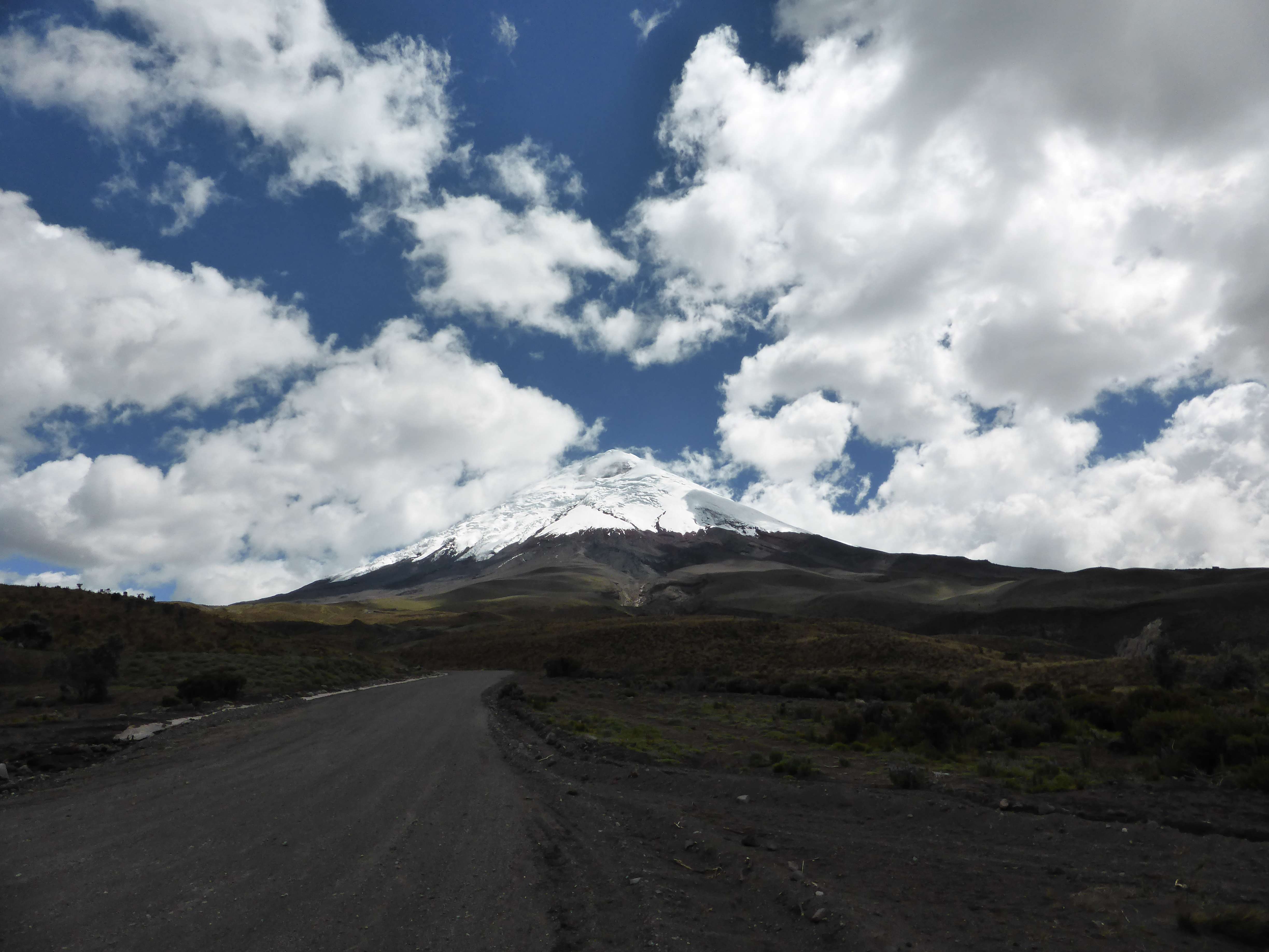
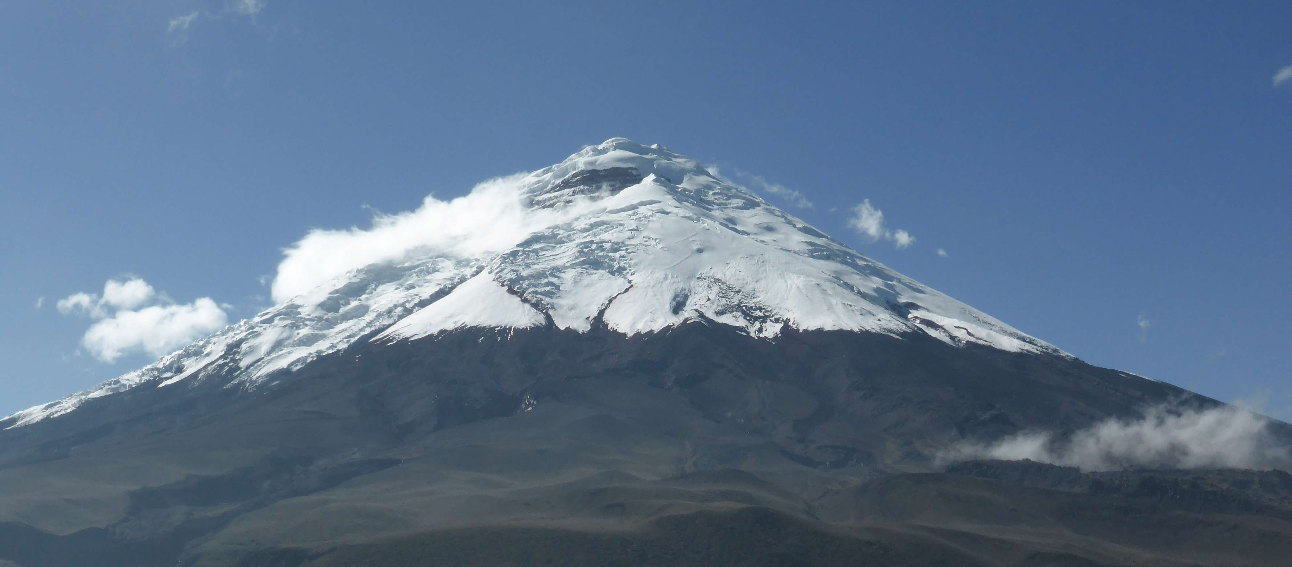
Cotopaxi.
5897m Cotopaxi is an active stratovolcano and Ecuador’s second highest mountain. Well known for its perfectly conical shape, Cotopaxi’s aesthetic appeal and ease of access contribute to making it Ecuador’s most popular climb.

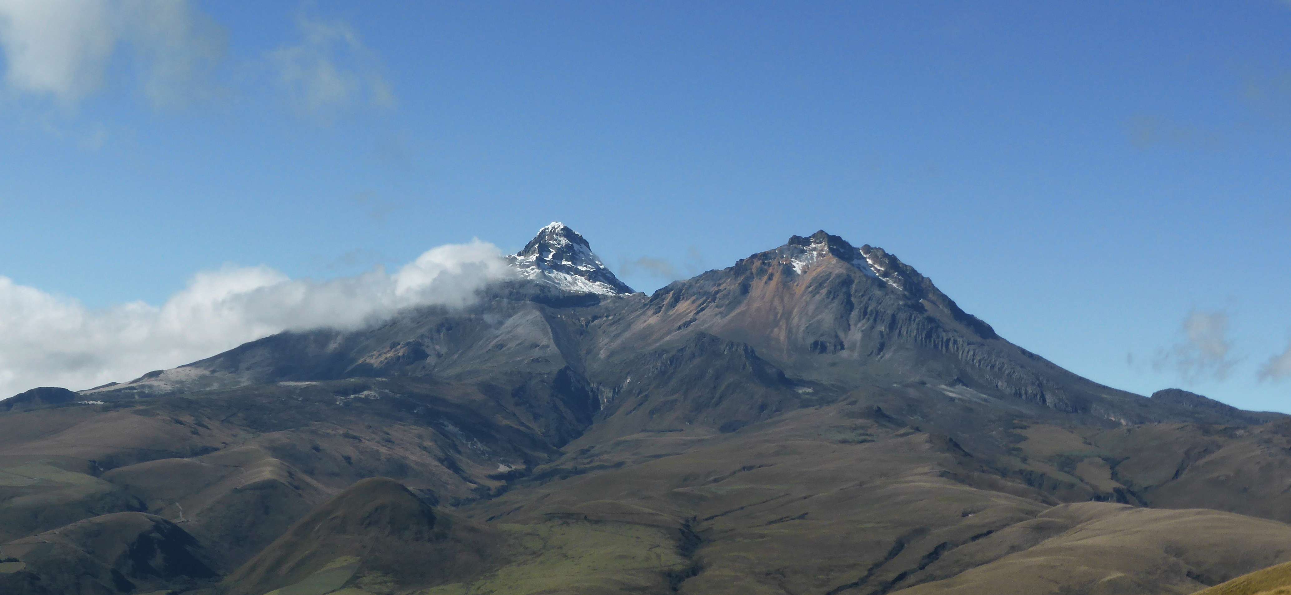
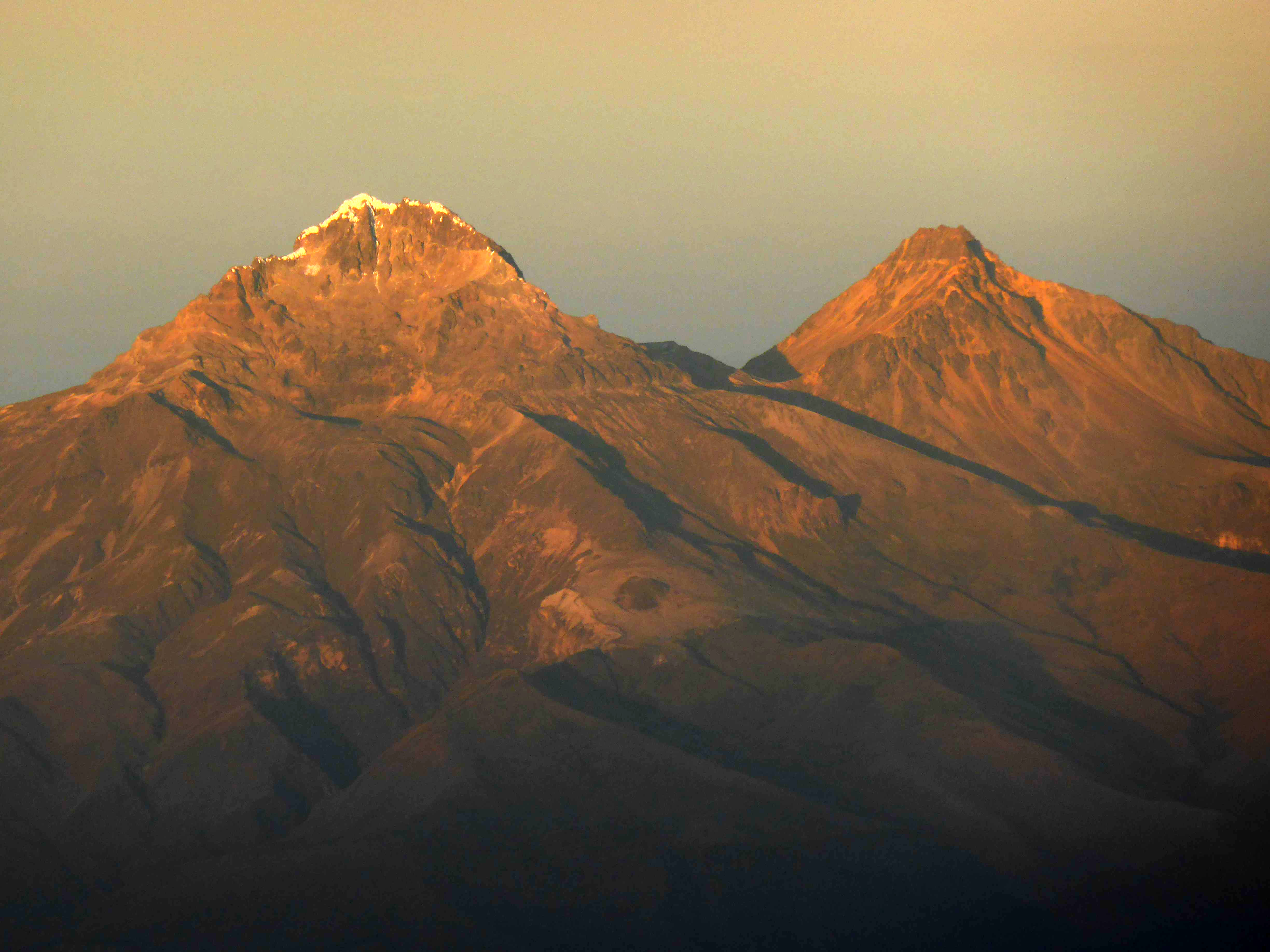
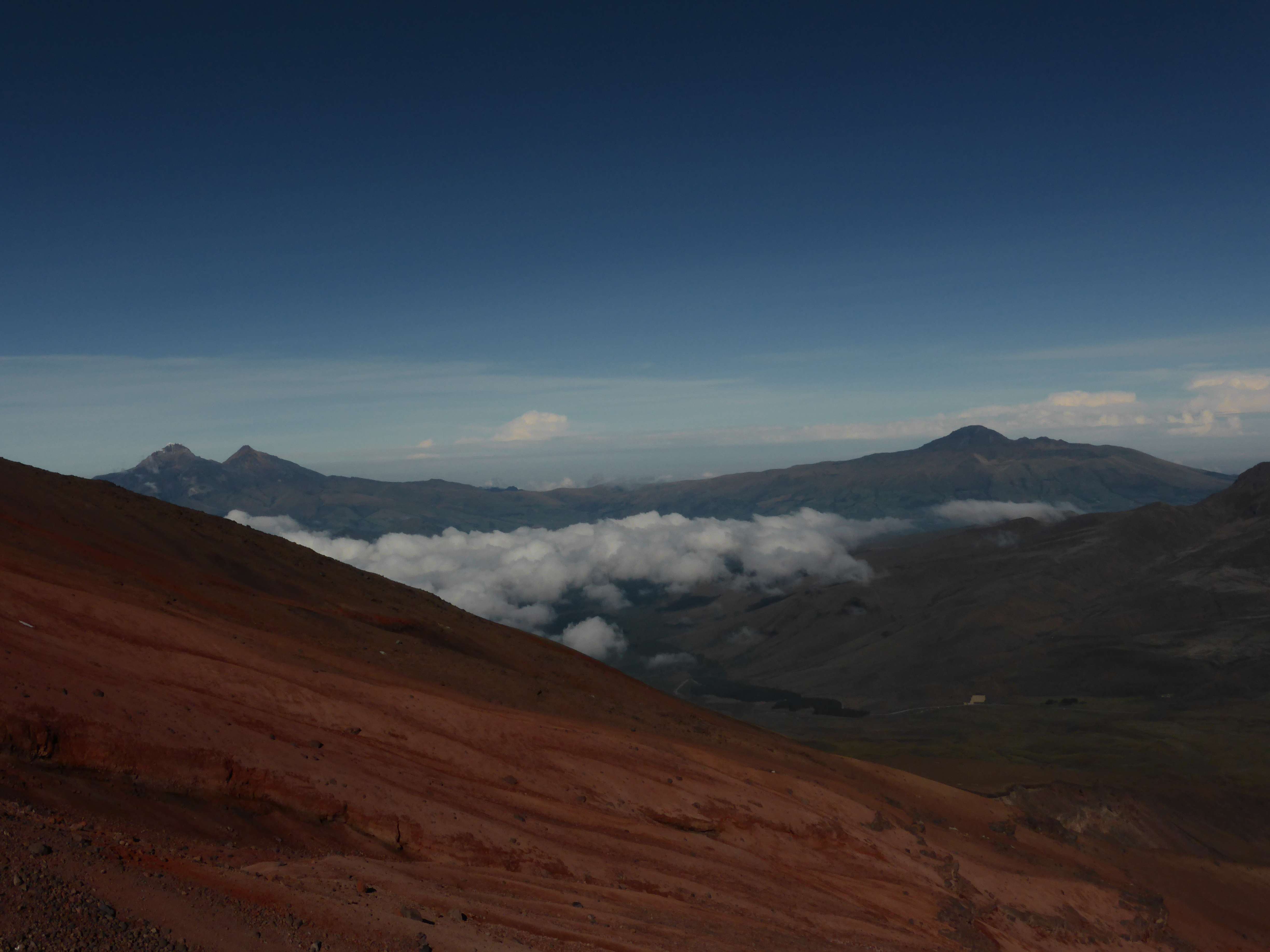
Cotopaxi, seen from near Machachi.
I climbed Cotopaxi on my tenth day in Ecuador, and having spent a good amount of time at altitude was thoroughly acclimatized before heading up the mountain. Before Cotopaxi I hiked 4791m Corazon, climbed both of the 5000+m Illinizas, and climbed 5790m Cayambe. My acclimatization and climbing itinerary can be seen here.
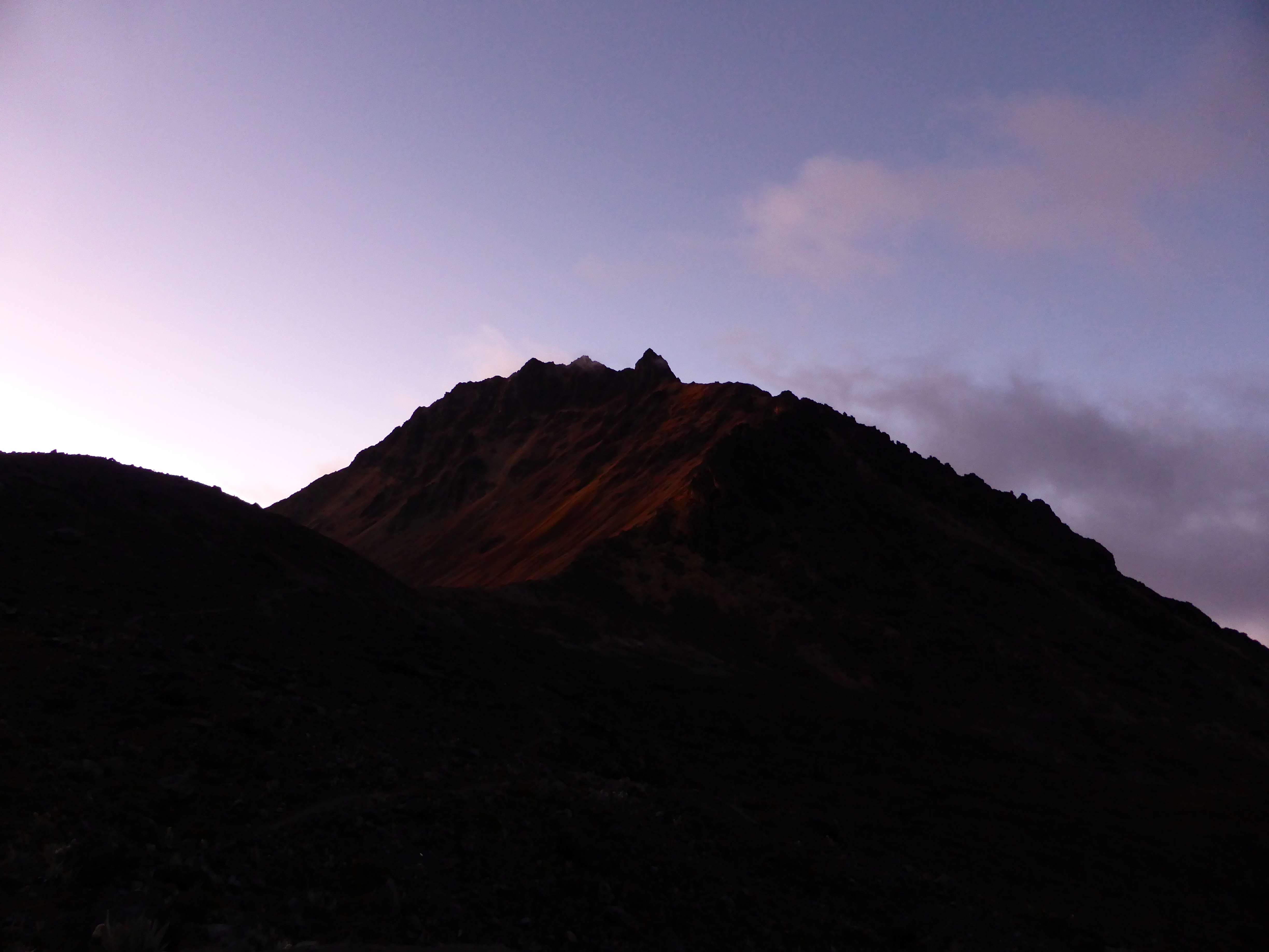
Driving towards Cotopaxi.
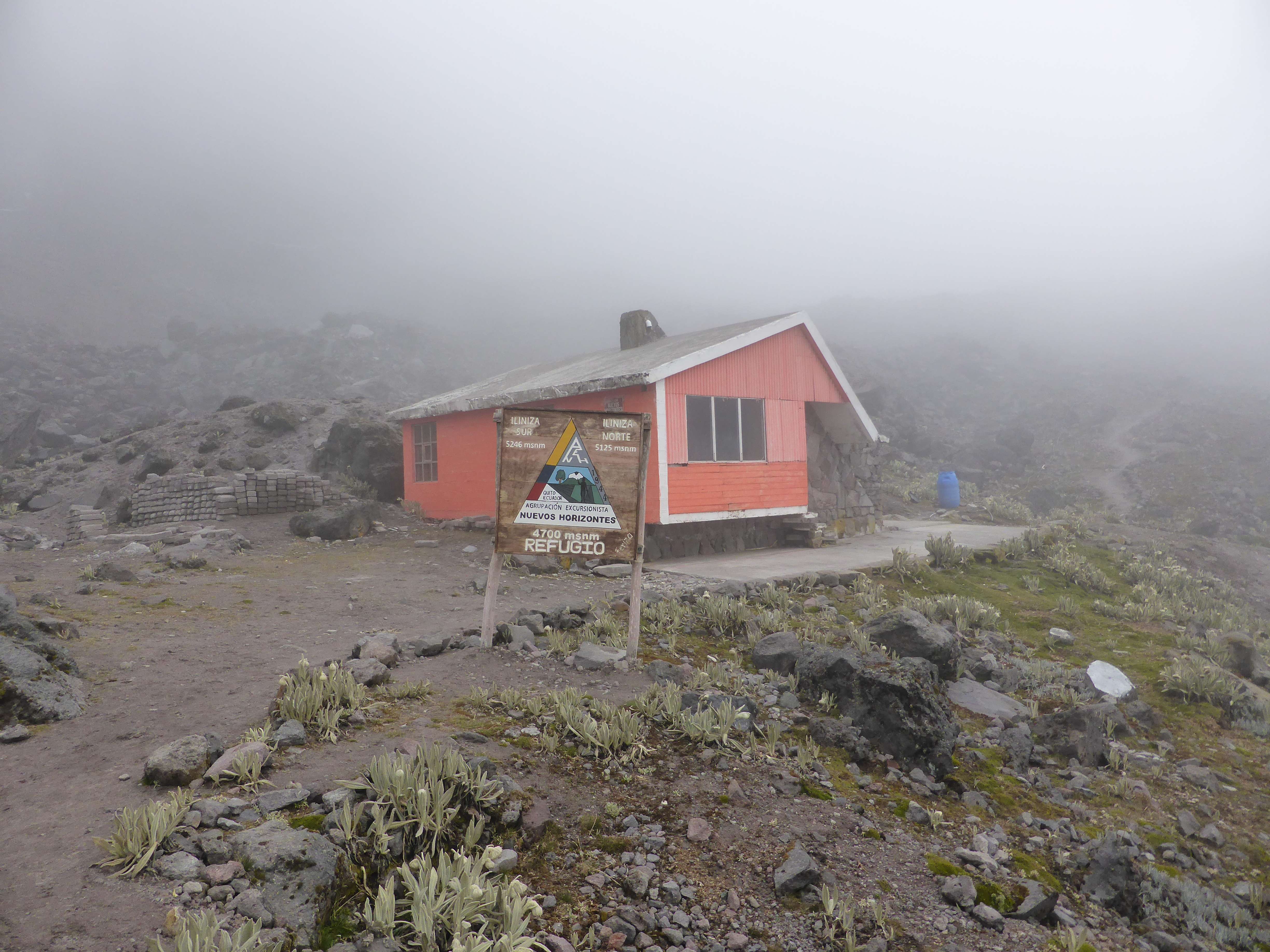
Day 1: In the early afternoon I met my climbing partner and mountain guide Pato at my hostel in the nearby city of Machachi. Machachi is a popular area for climbers to base out of due to its proximity to both the Illiniza and Cotopaxi national parks, as well as numerous 4000+m hiking peaks. From Machachi we drove to the Cotopaxi national park, where we followed a long dirt road to the parking area near the base of Cotopaxi at 4600m. Cotopaxi is normally climbed from a mountain cabin ~200m higher, but during my visit the cabin was undergoing renovation and closed to visitors.
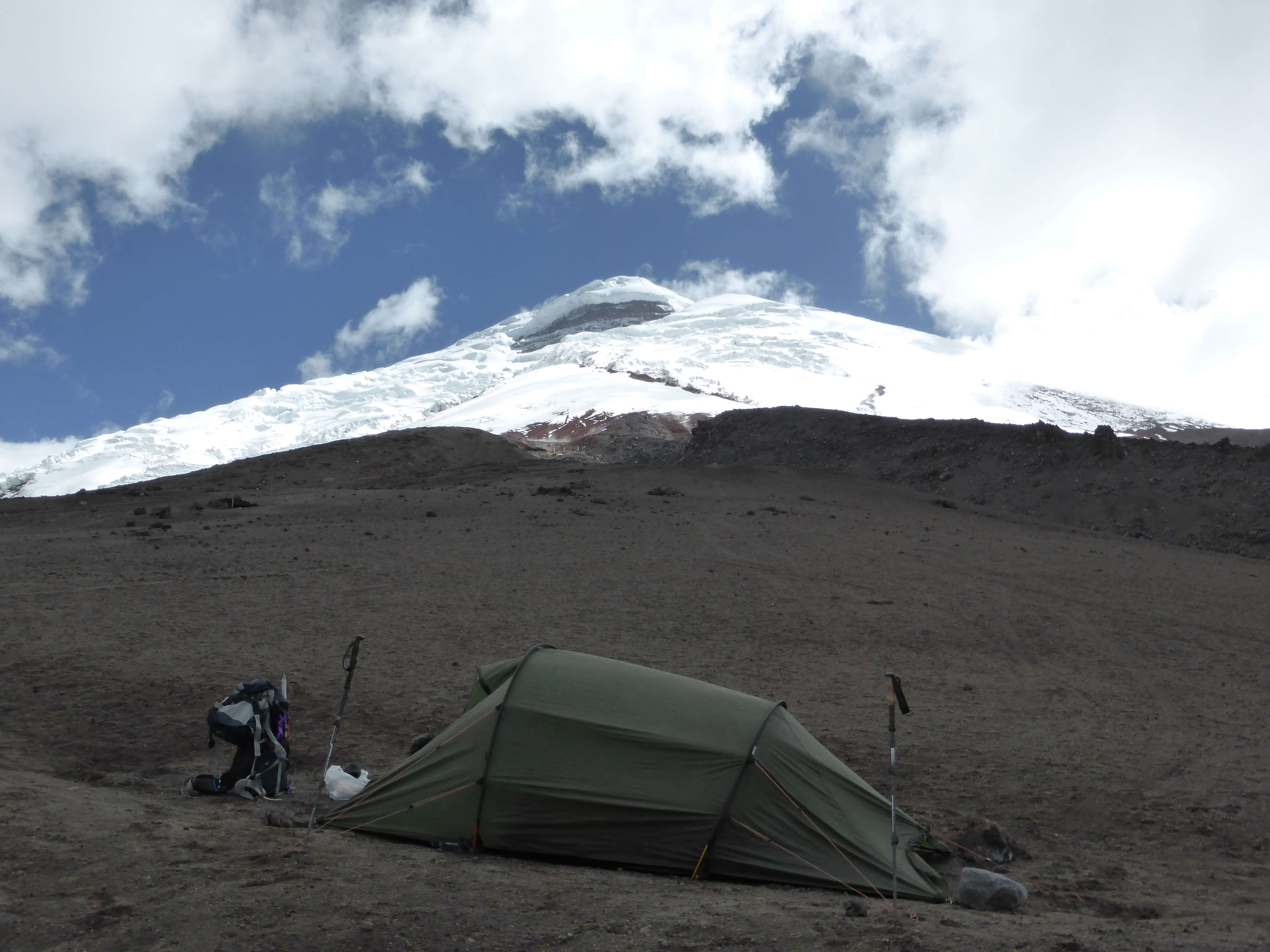
Camping at the base of Cotopaxi.
Arriving at the parking lot around 2:30, I set up a basic camp and got my gear organized for a midnight start up the mountain. The weather was clear and cool, but windy.
The parking area, which served as our campsite.
With Pato sleeping in his 4×4 truck I had my tent to myself, and prepared to turn in and get some sleep during the afternoon.
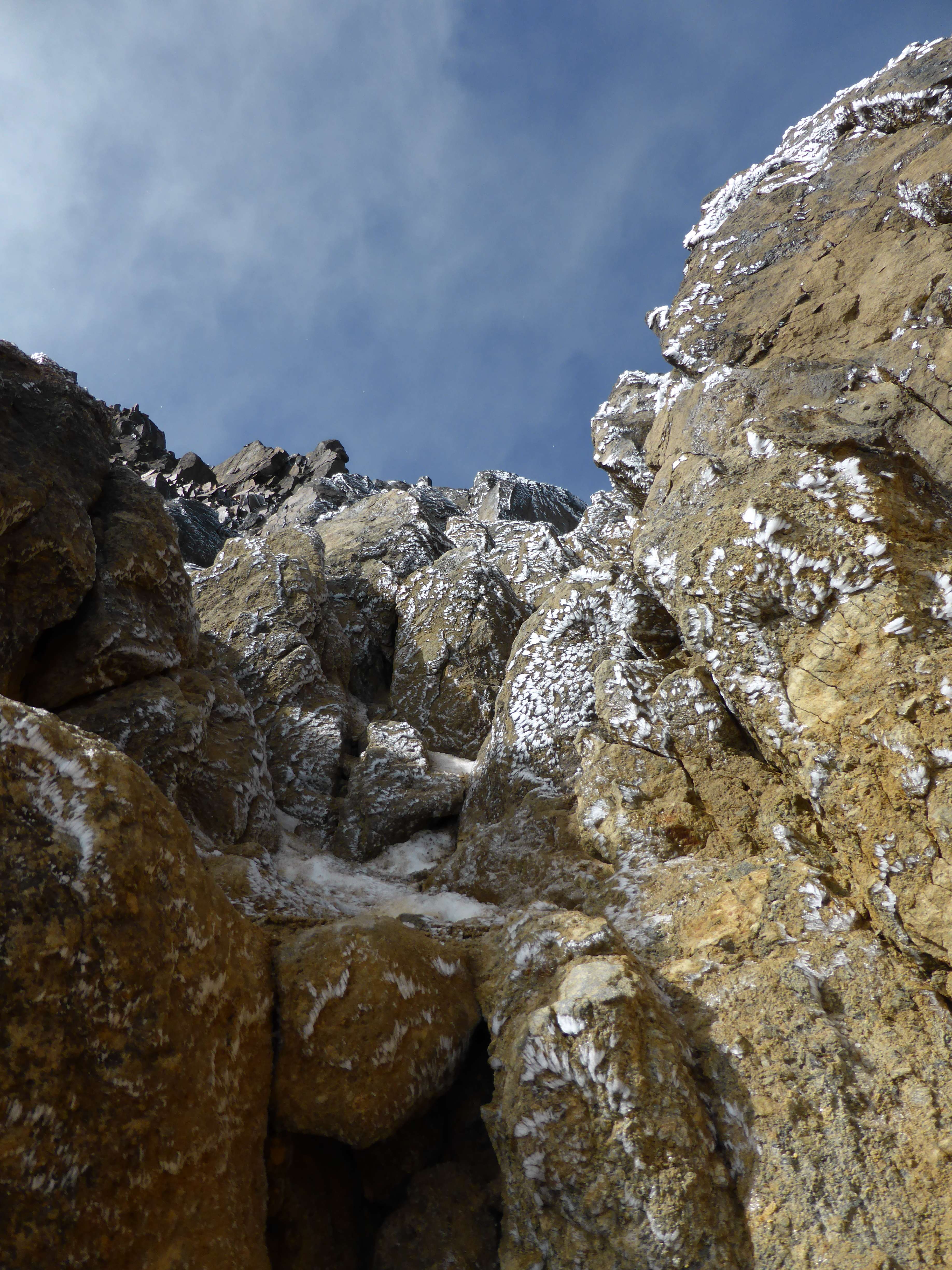
Day 2: Awake at 11:00, we started hiking up towards the glacier in darkness at 11:40 p.m. The trail was clear and easy to follow, and we reached the mountain refuge at 12:25. From the refuge a further twenty minutes on dirt brought us to the first snowfields below the glacier. After a brief stop to put on crampons we began following a boot-track upwards across the snow.

The Cotopaxi refuge under renovation.
Cotopaxi is a very popular climb, and was somewhat crowded during my visit. On the lower glacier Pato and I passed some seven or eight other climbing teams who had left earlier than us. We soon found ourselves climbing alone, with only the starry night sky in front of us. The air temperature wasn’t particularly cold, but despite clear skies a strong wind buffeted us on the exposed slope. I was soon climbing in full layers and wearing my ski goggles to protect face and eyes from the blasting wind. The route continuously curved around the mountain to the climber’s right, which became somewhat tedious for my left shoulder and leading leg. The snow conditions however, were perfect, and under a night sky filled with thousands of glowing stars the climbing was enjoyable. We stopped for a few short breaks behind large snow formations, which provided us some shelter from the relentless wind.
Snow formations like this one provided our only relief from the high winds.
The route was easy to see and follow due to a well-trodden boot track produced by the hundreds of climbers who had ascended this way before us in the days or weeks since the last snowfall. Unlike Cayambe two days prior there were no difficulties presented by route finding or crevasse navigation. While numerous, enormous crevasses lurked off-route, none were open in our path.
Looking down the route during our descent, other climbers still ascending.
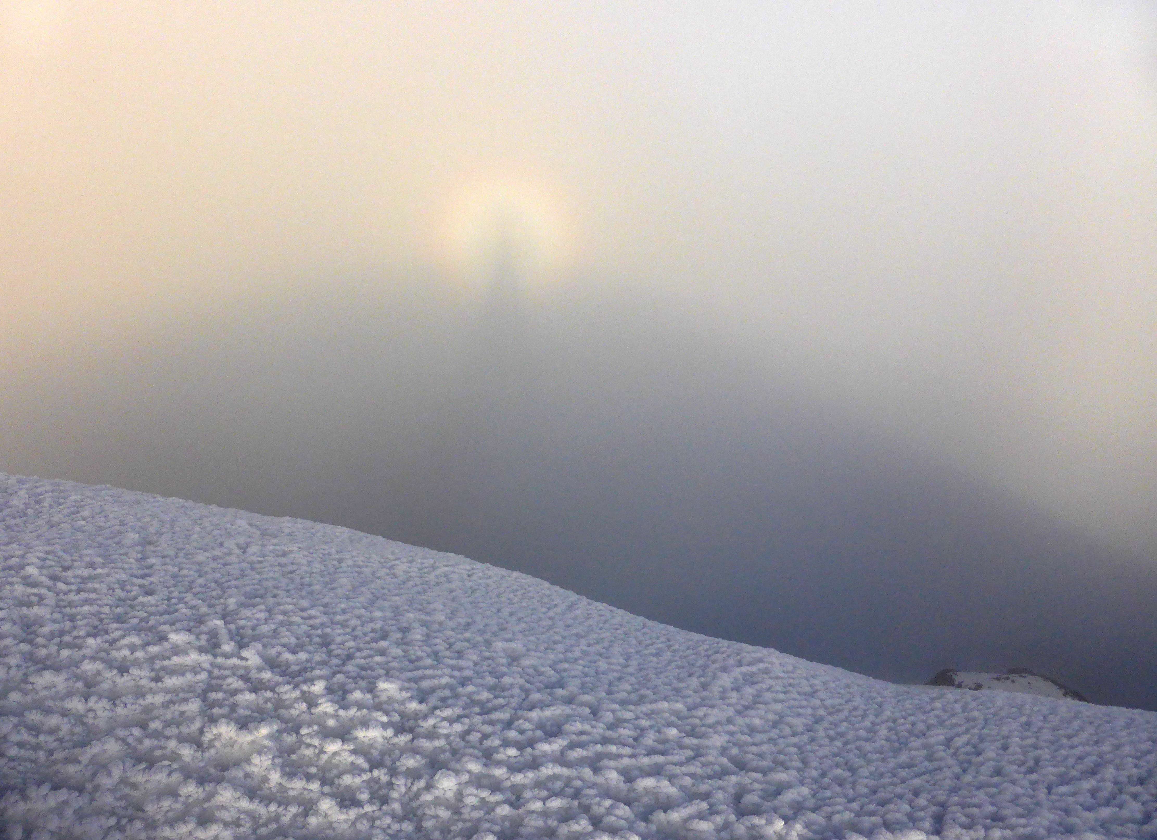
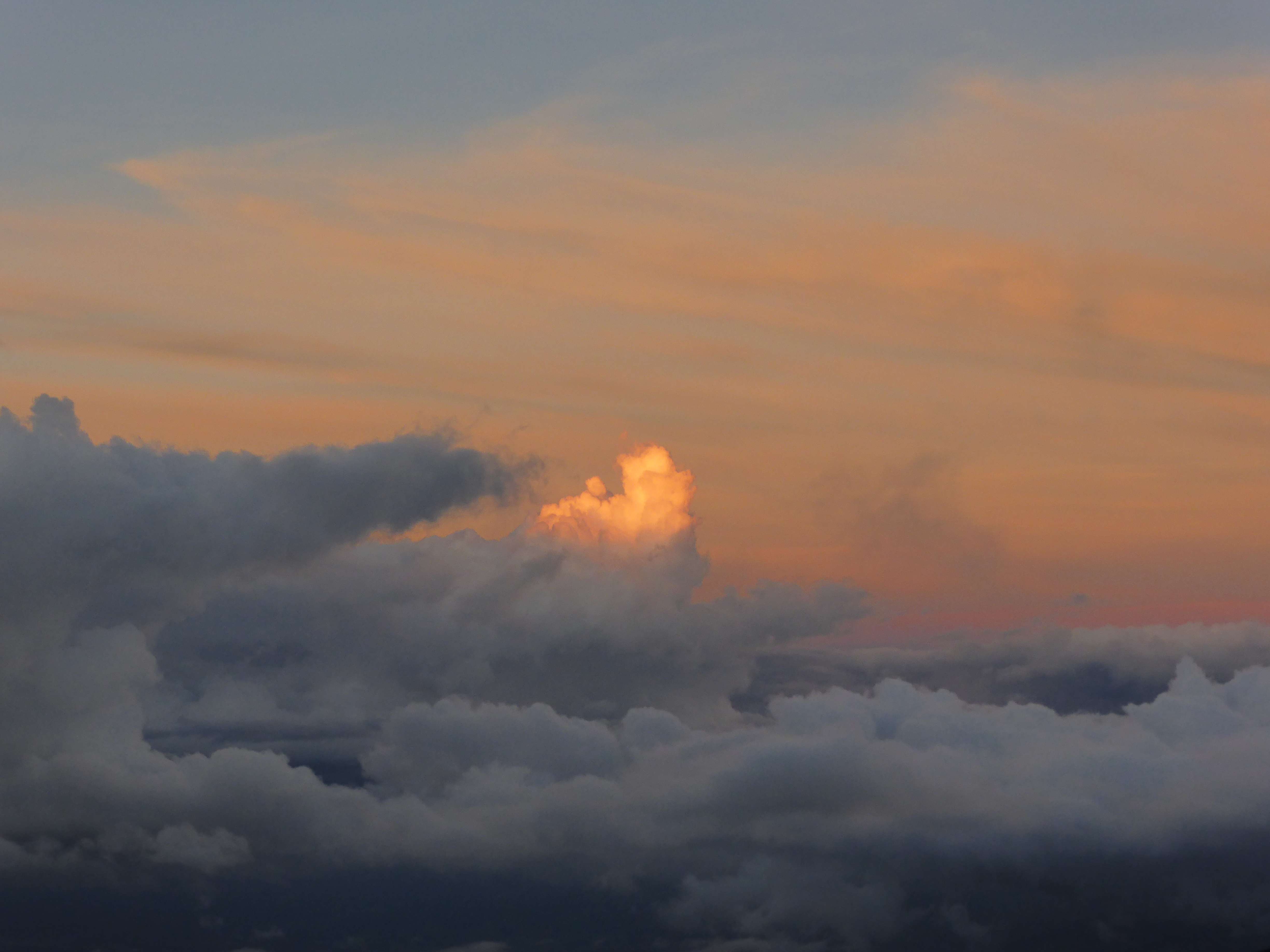
While the route was long, circuitous, and cold in the high wind, the climbing was not particularly strenuous or steep. At its steepest the route got to be around 40 degrees, but for the most part was very moderate. At 5:45 a.m. we reached the summit, roughly 6 hours after leaving the parking area. The summit was very windy and freezing cold, so we took shelter behind a ridge in the snow to drink some hot tea and wait for sunrise. As the sun began to climb in the distance the sky ignited with color.
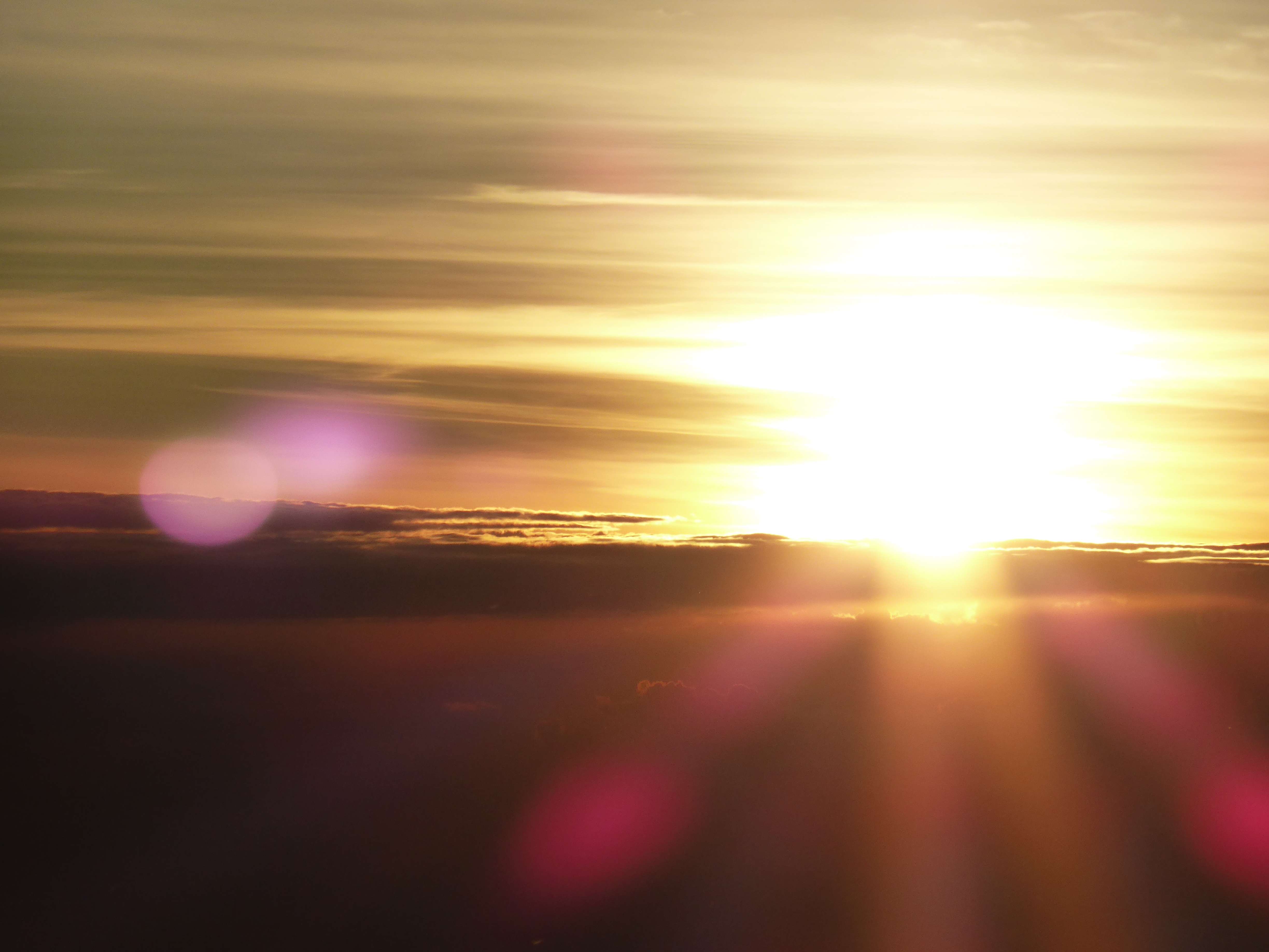
Sunrise from Cotopaxi’s summit.
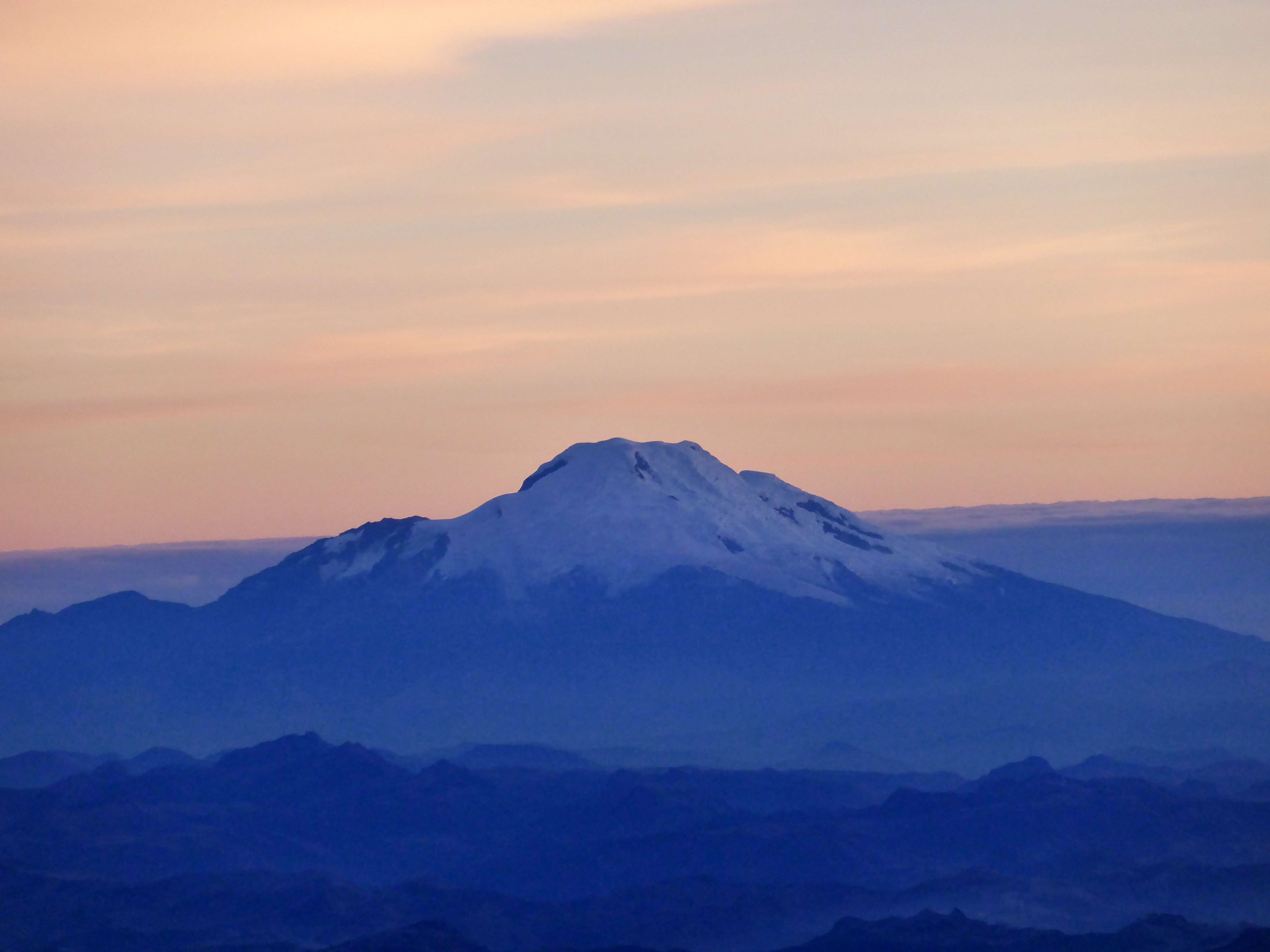
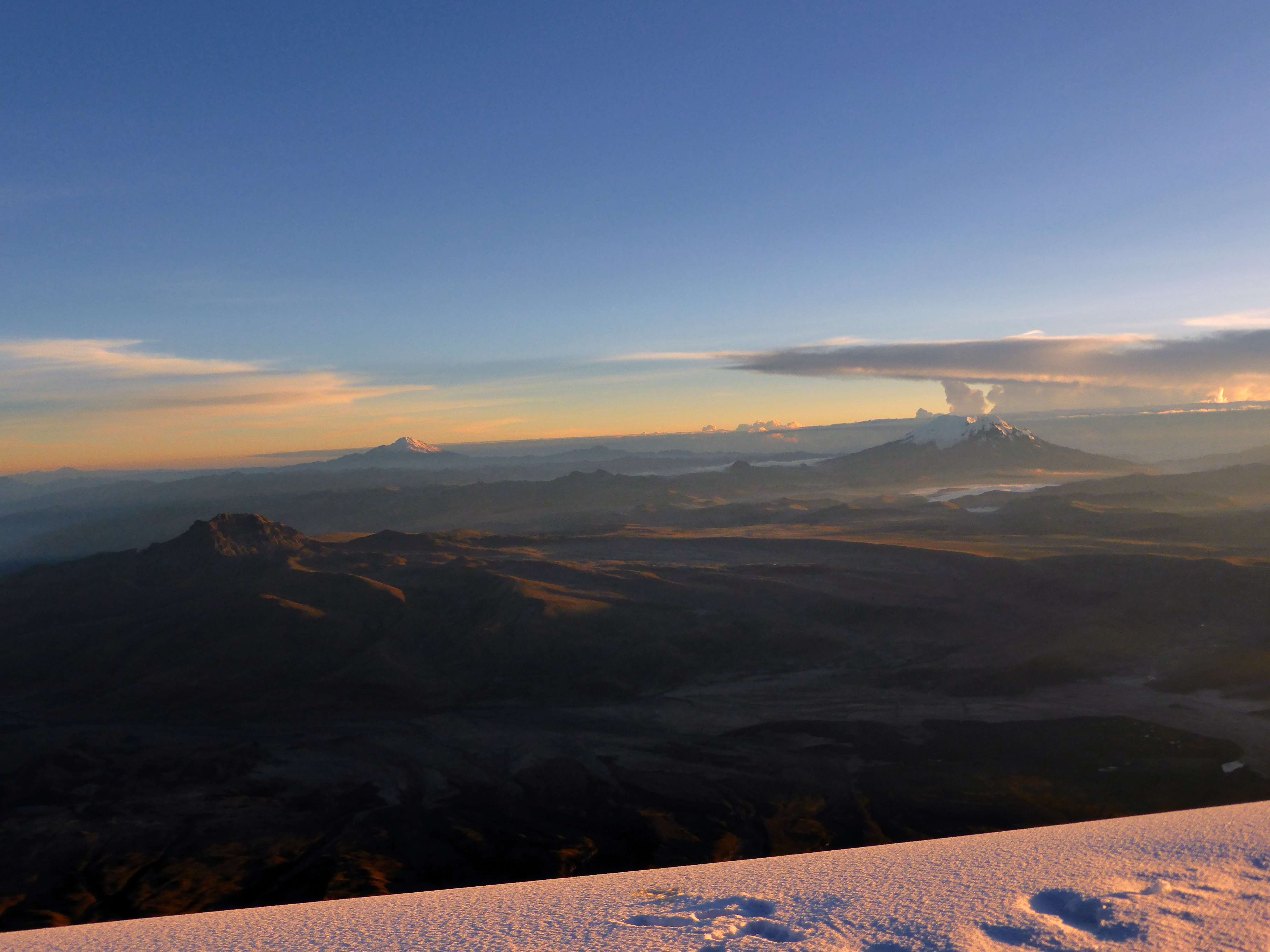
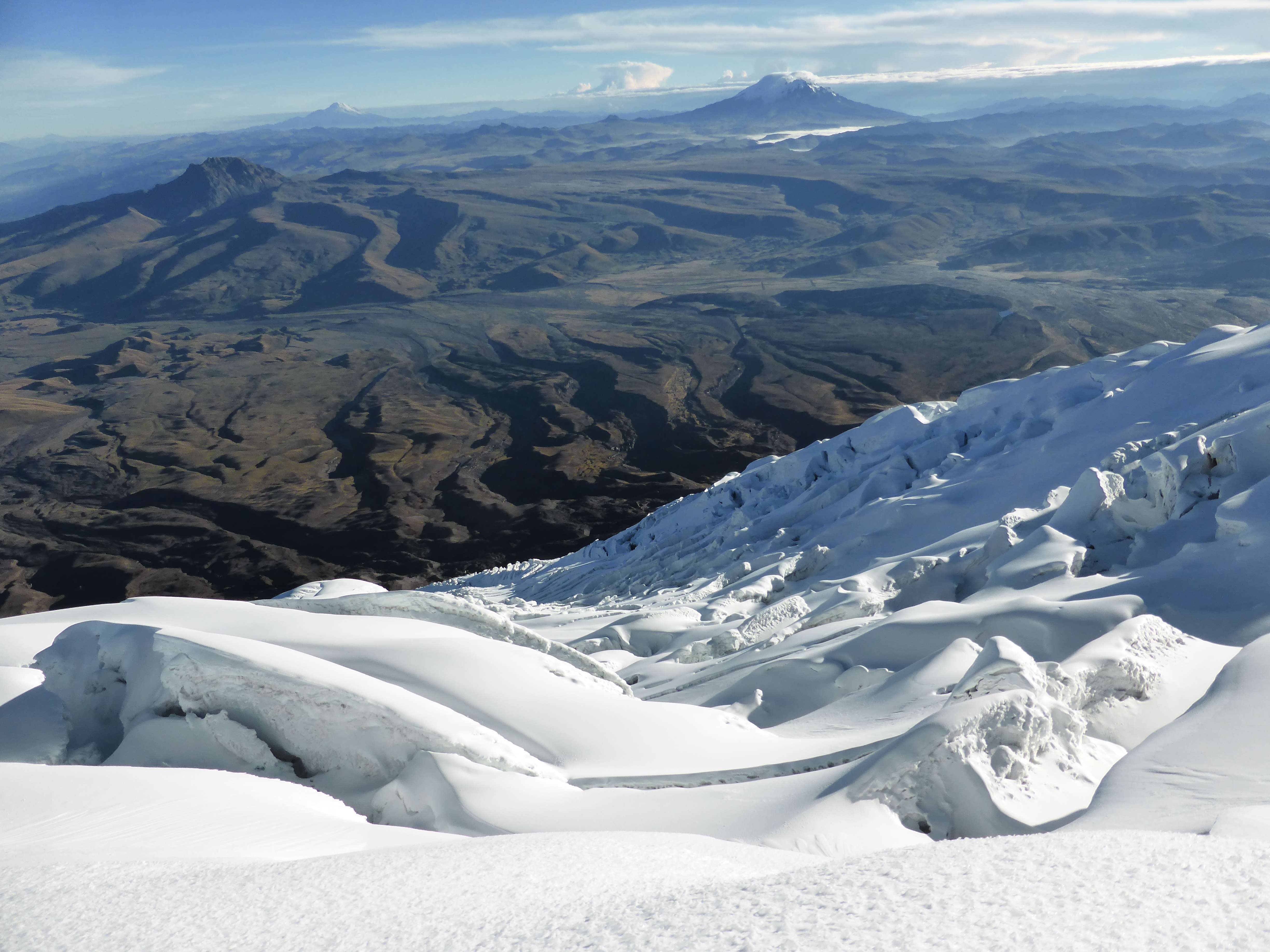
The view was absolutely perfect, with incredible visibility and almost no cloud cover. All of Ecuador’s major peaks could be seen, from Illiniza Norte and Illiniza Sur nearby to Chimborazo in the far distance. Cayambe and Antisana were free of clouds, and shone in the sunlight.

Cayambe under a color changing sky.
Cayambe under a color-changing sky.
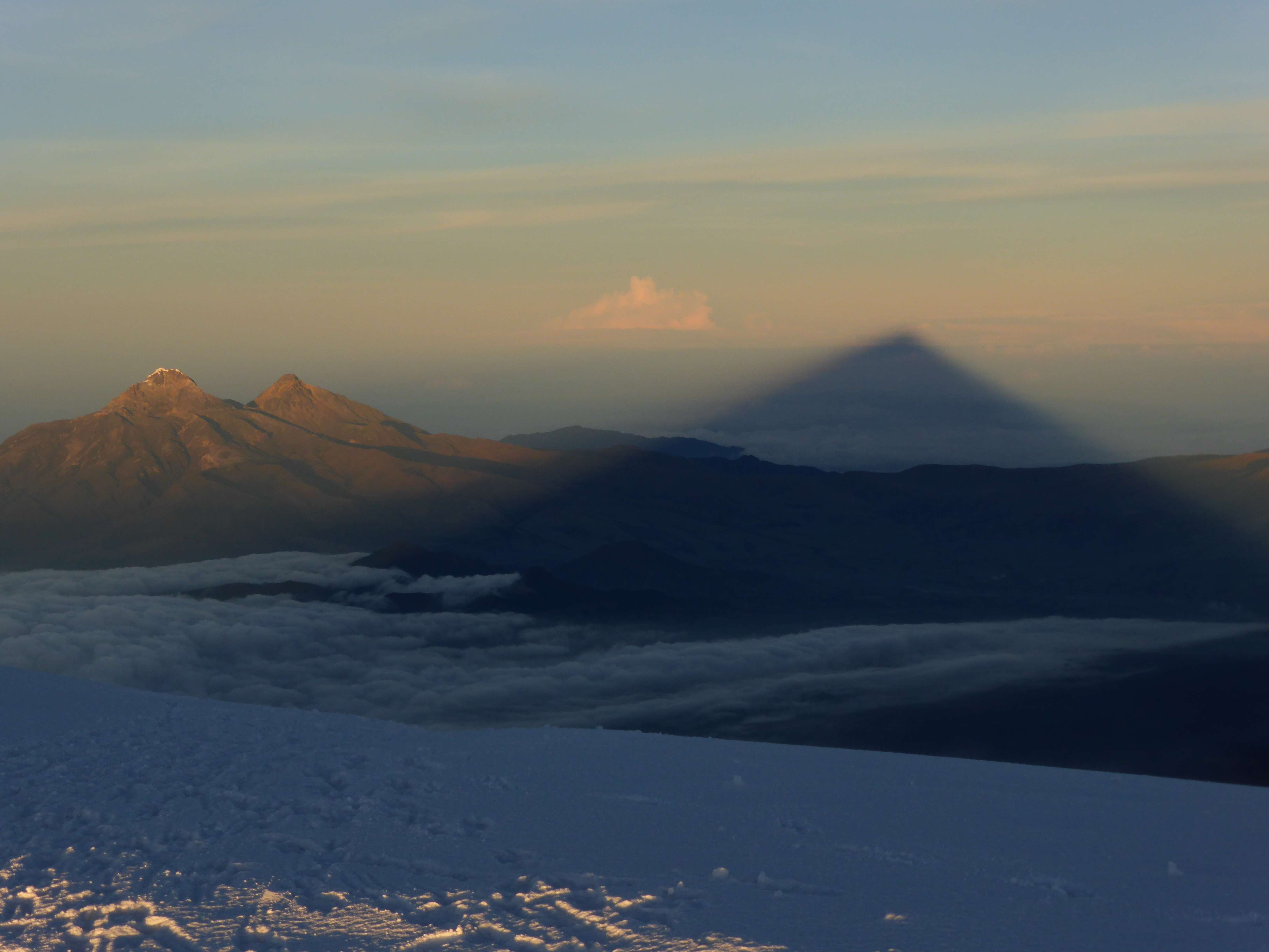
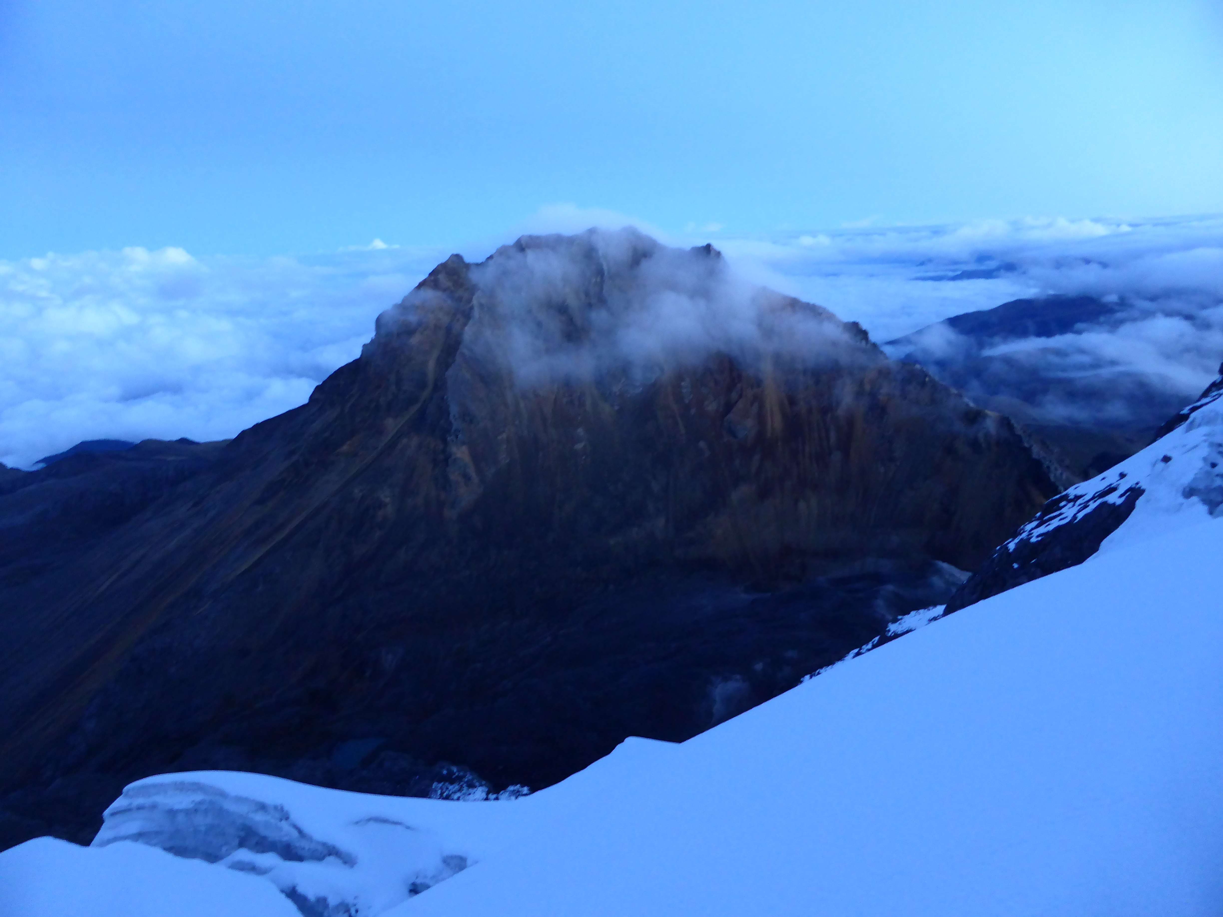
The shadow of Cotopaxi falling past the two Illinizas.
Illiniza Sur, left, and Illiniza Norte, right.
It felt incredible seeing these peaks so clearly and in such radiant light, knowing that I had stood upon them just days before, or would be attempting to climb them within the next week.
Antisana.
A landscape of volcanoes, Cayambe center, Antisana right.
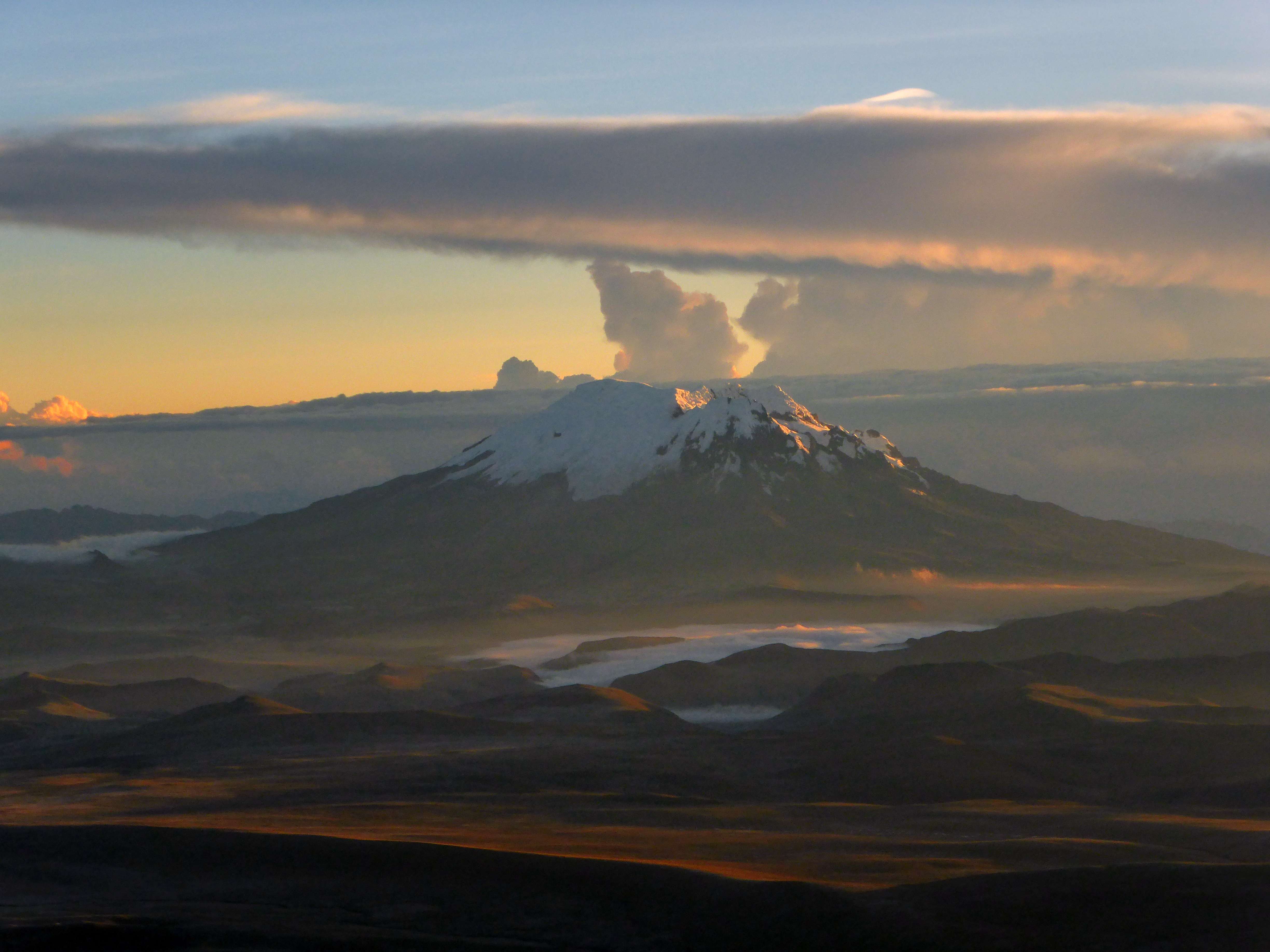
Far across the landscape 6310m Chimborazo lay upon a blanket of clouds, Ecuador’s highest mountain.

Chimborazo.
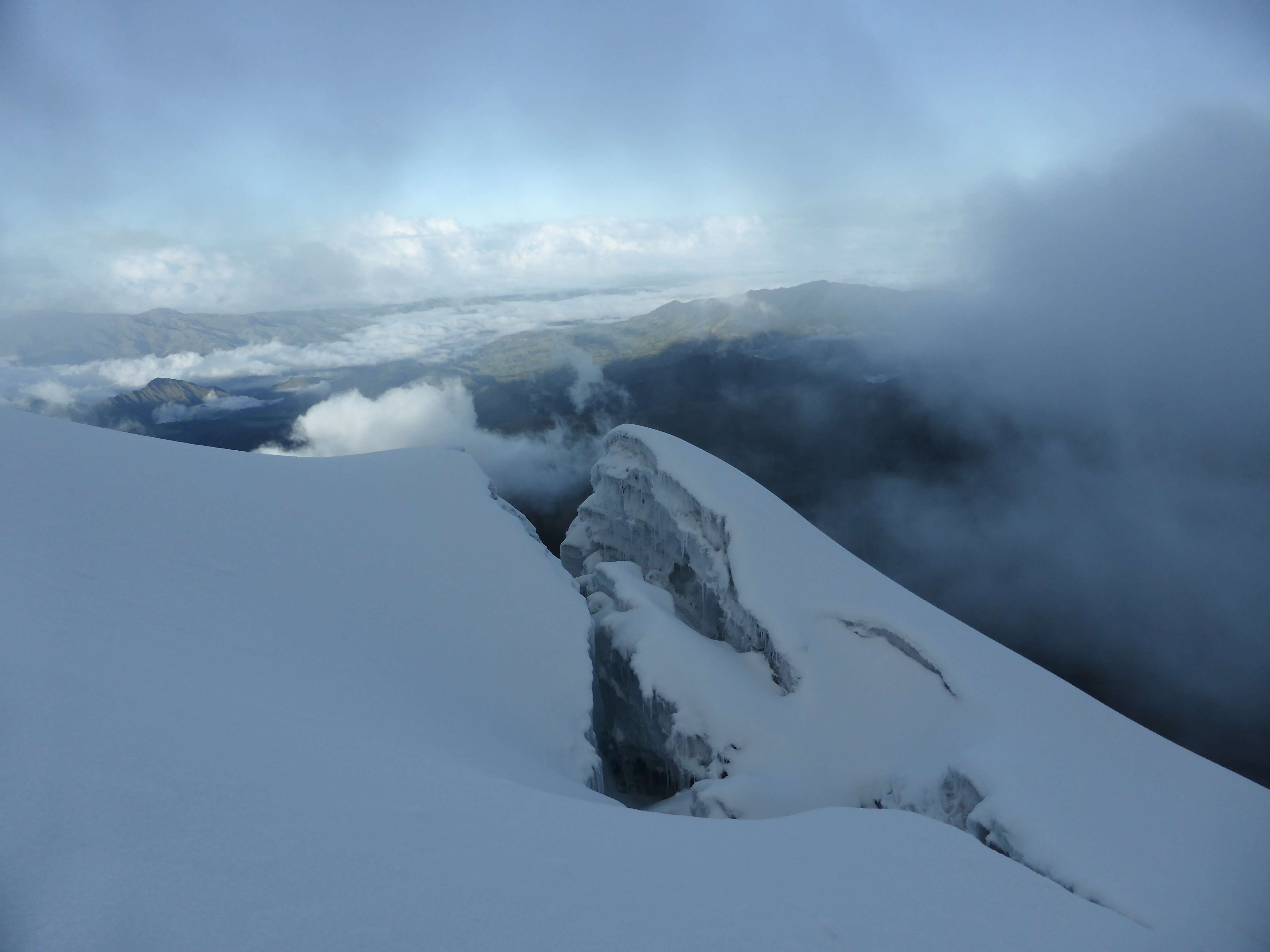
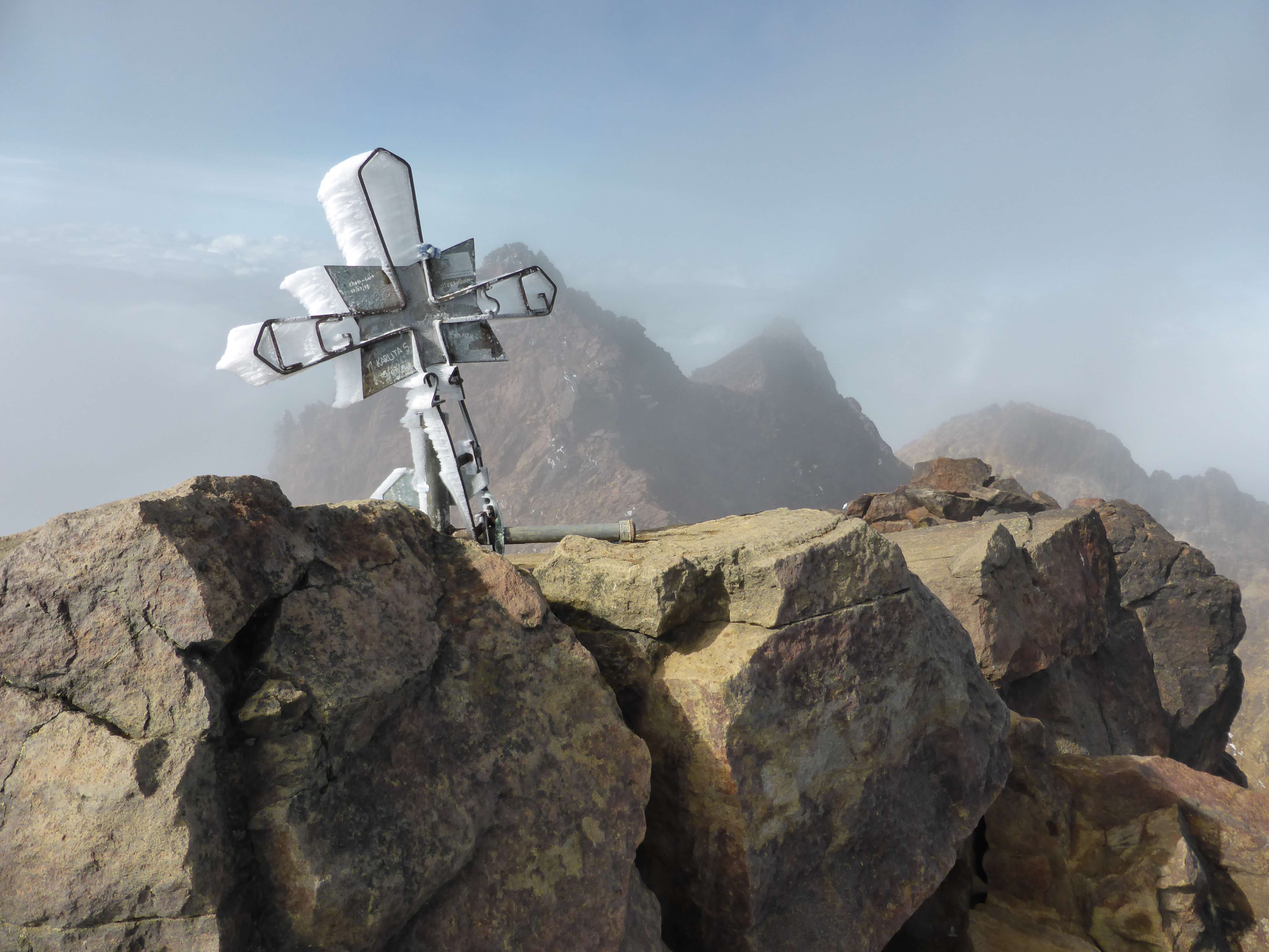
Cotopaxi’s summit is a high-point along the mountain’s volcanic crater rim, and has excellent views into the crater itself.
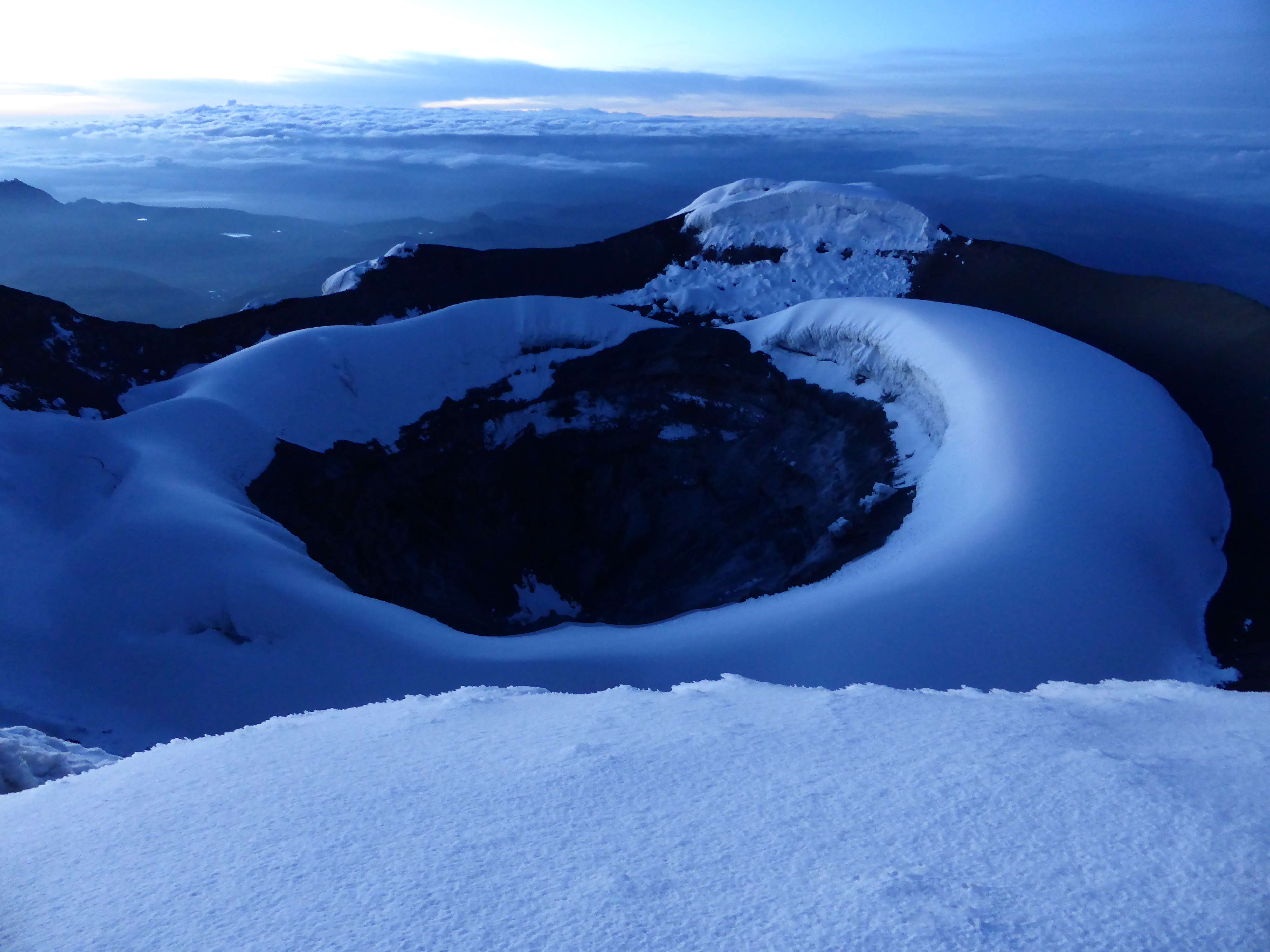
Cotopaxi’s crater.
During sunrise a team of four friendly Belgians arrived to join us on the summit. We had chatted briefly on the way up, and learned that one of them was celebrating his birthday with their climb. We helped each other take photos, enjoying the beautiful summit and sunrise.

The Belgian team taking shelter from the wind.
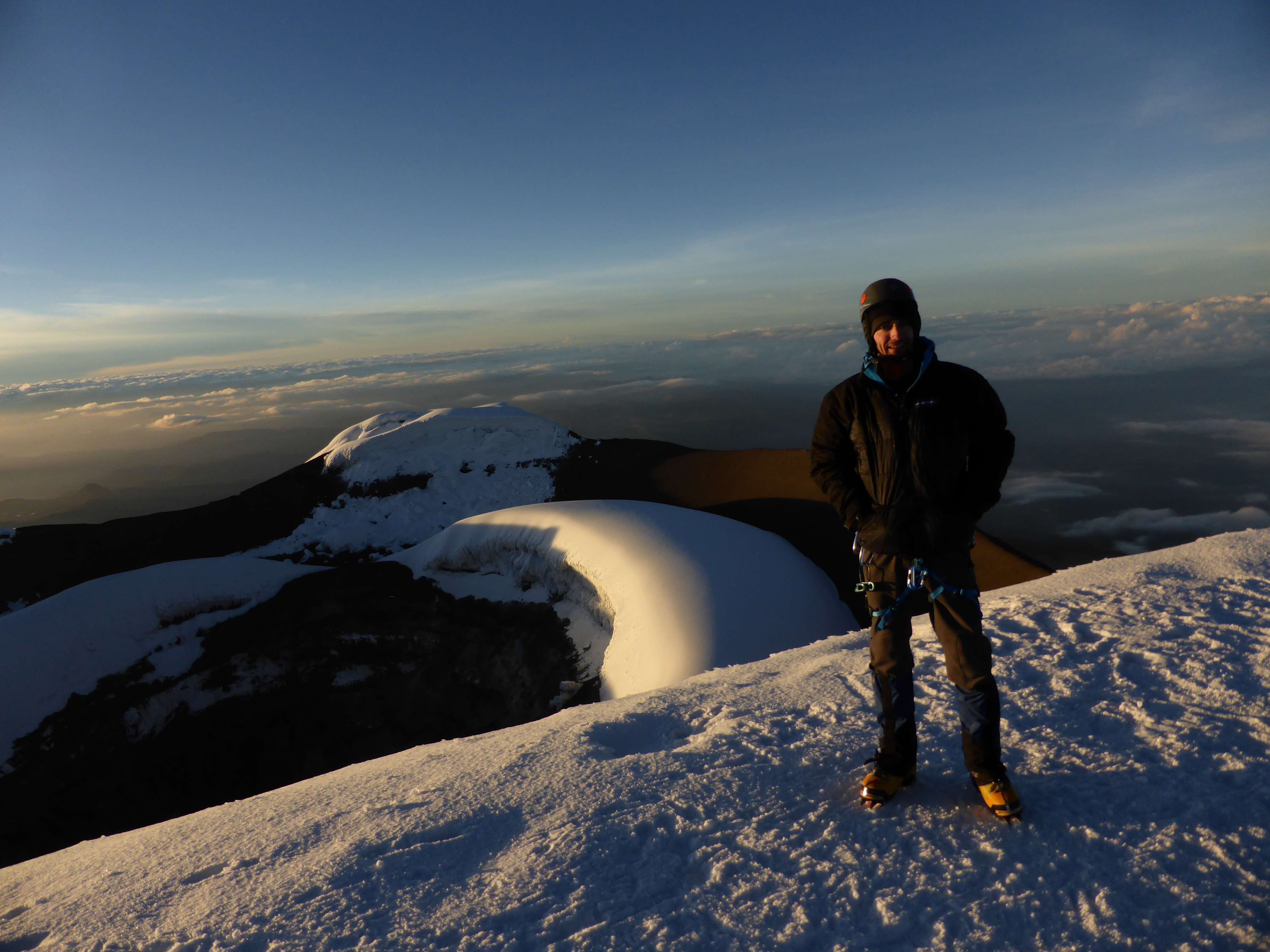
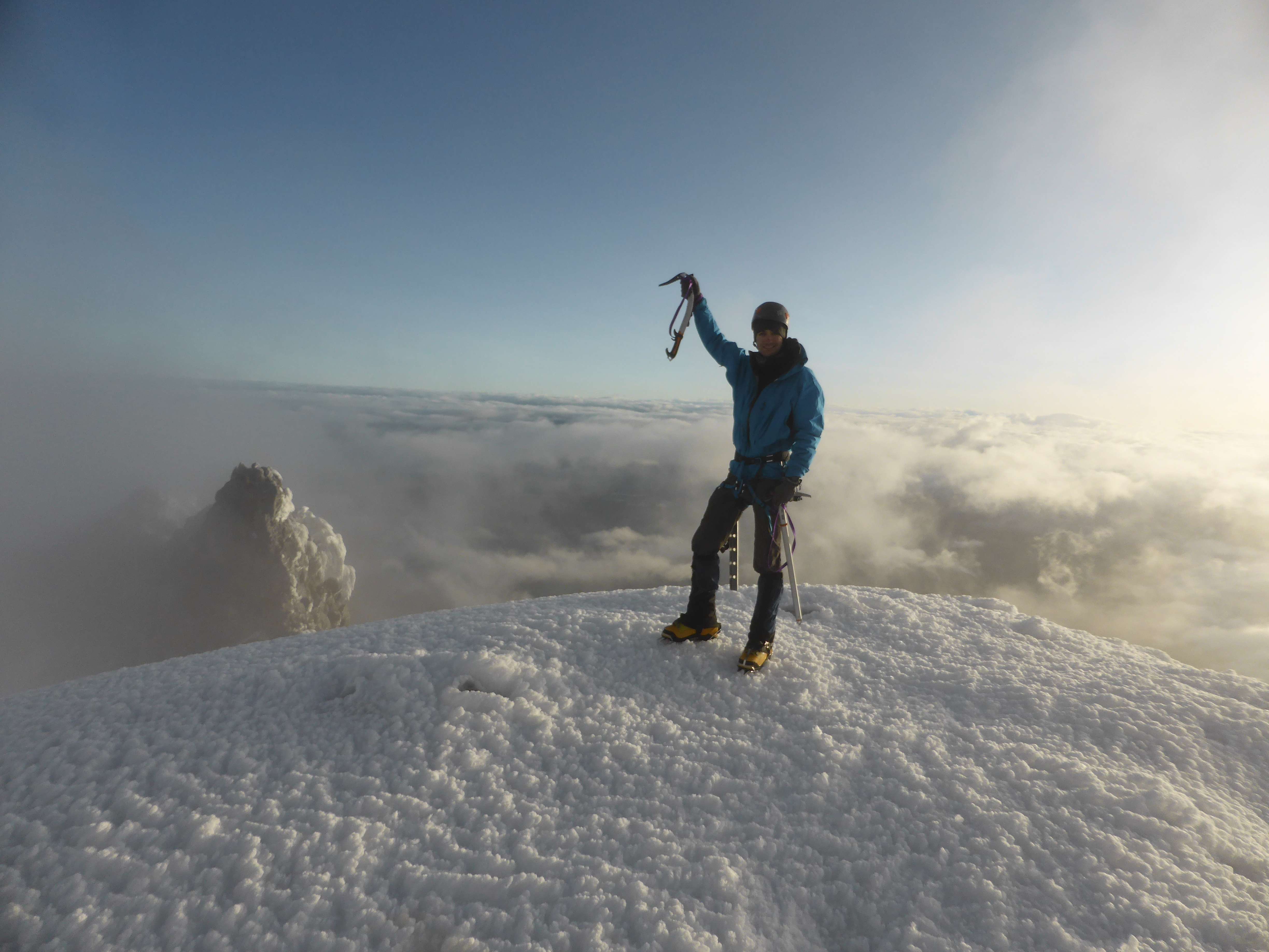
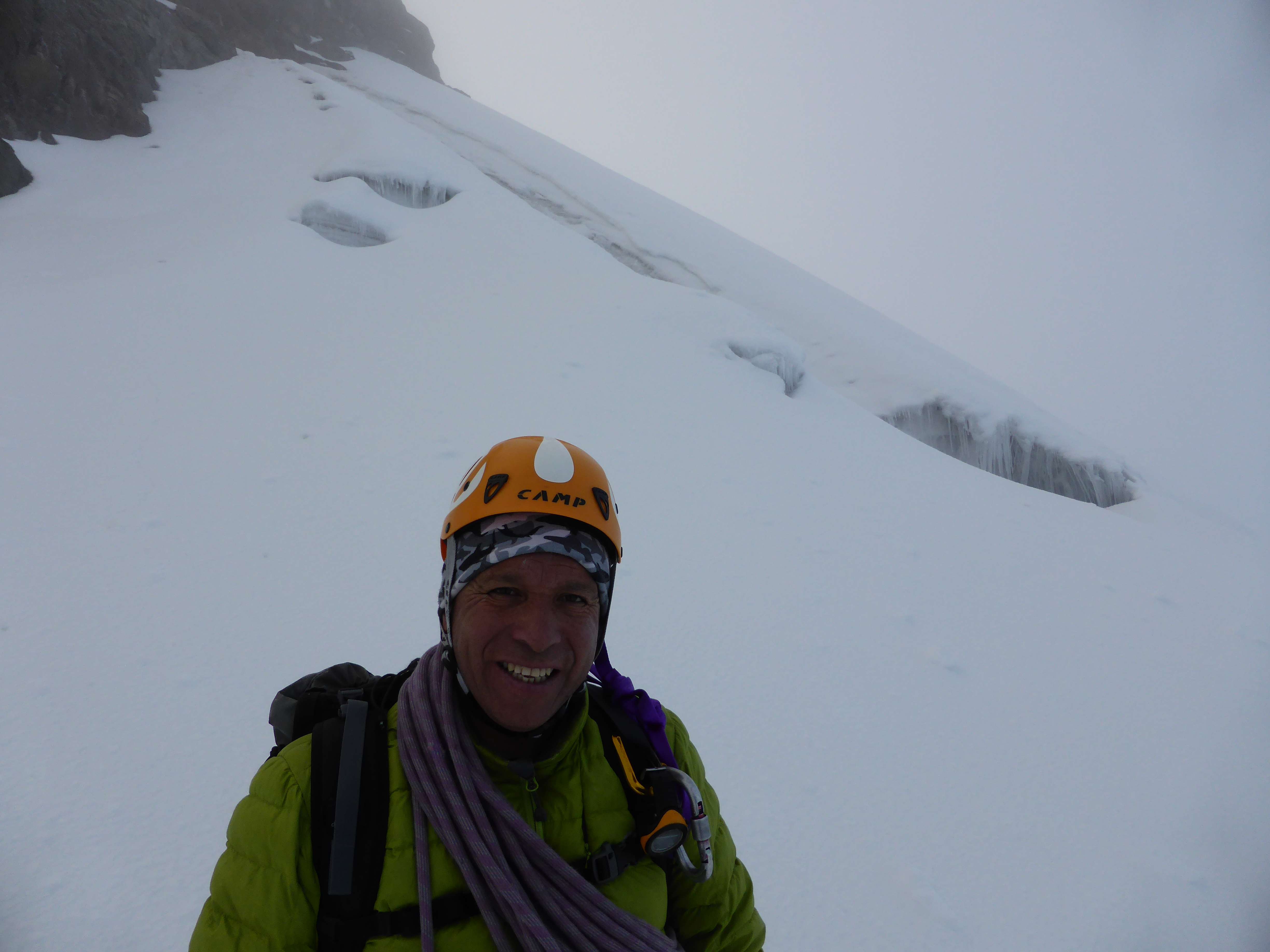
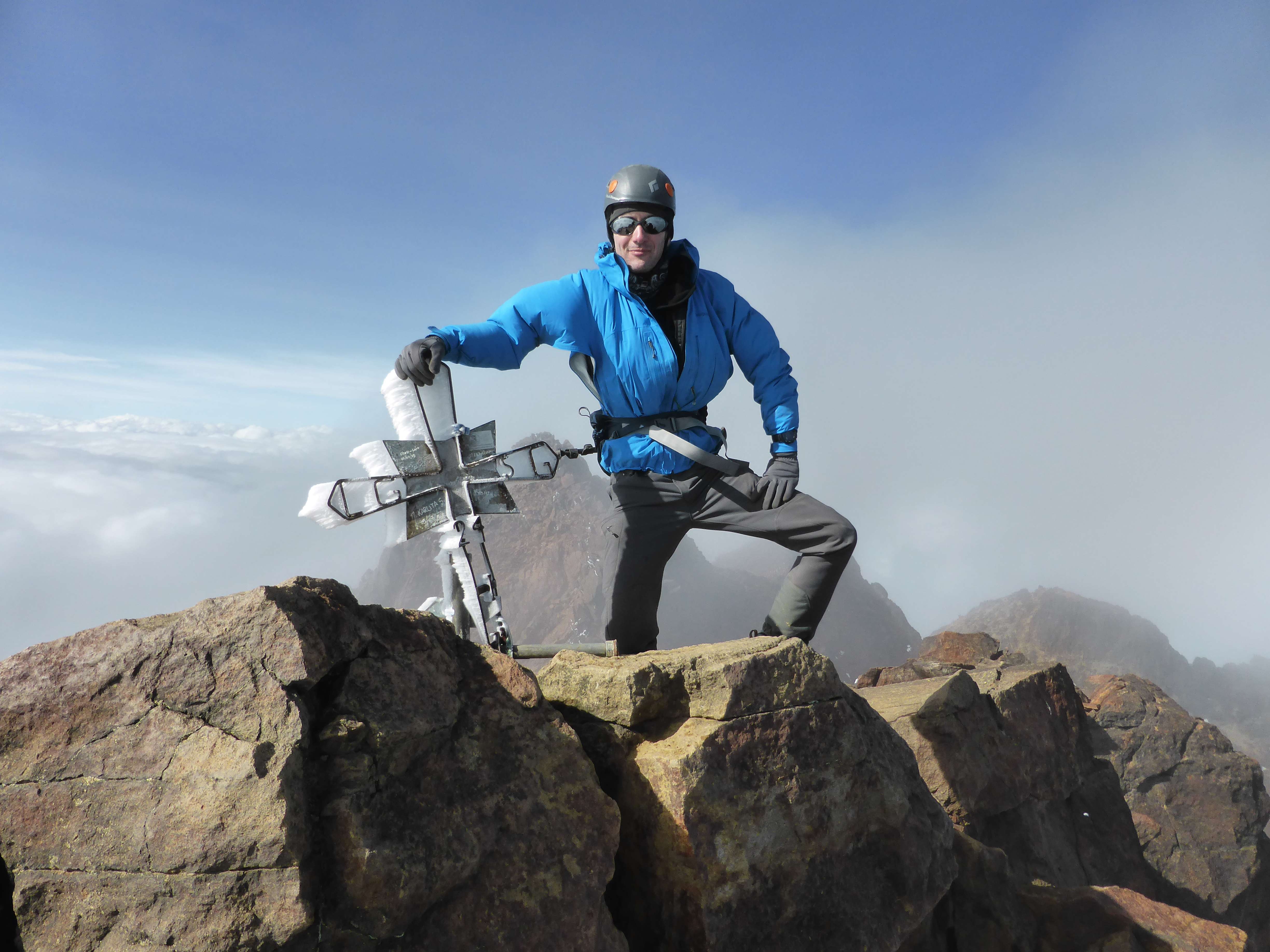
On the summit of Cotopaxi.
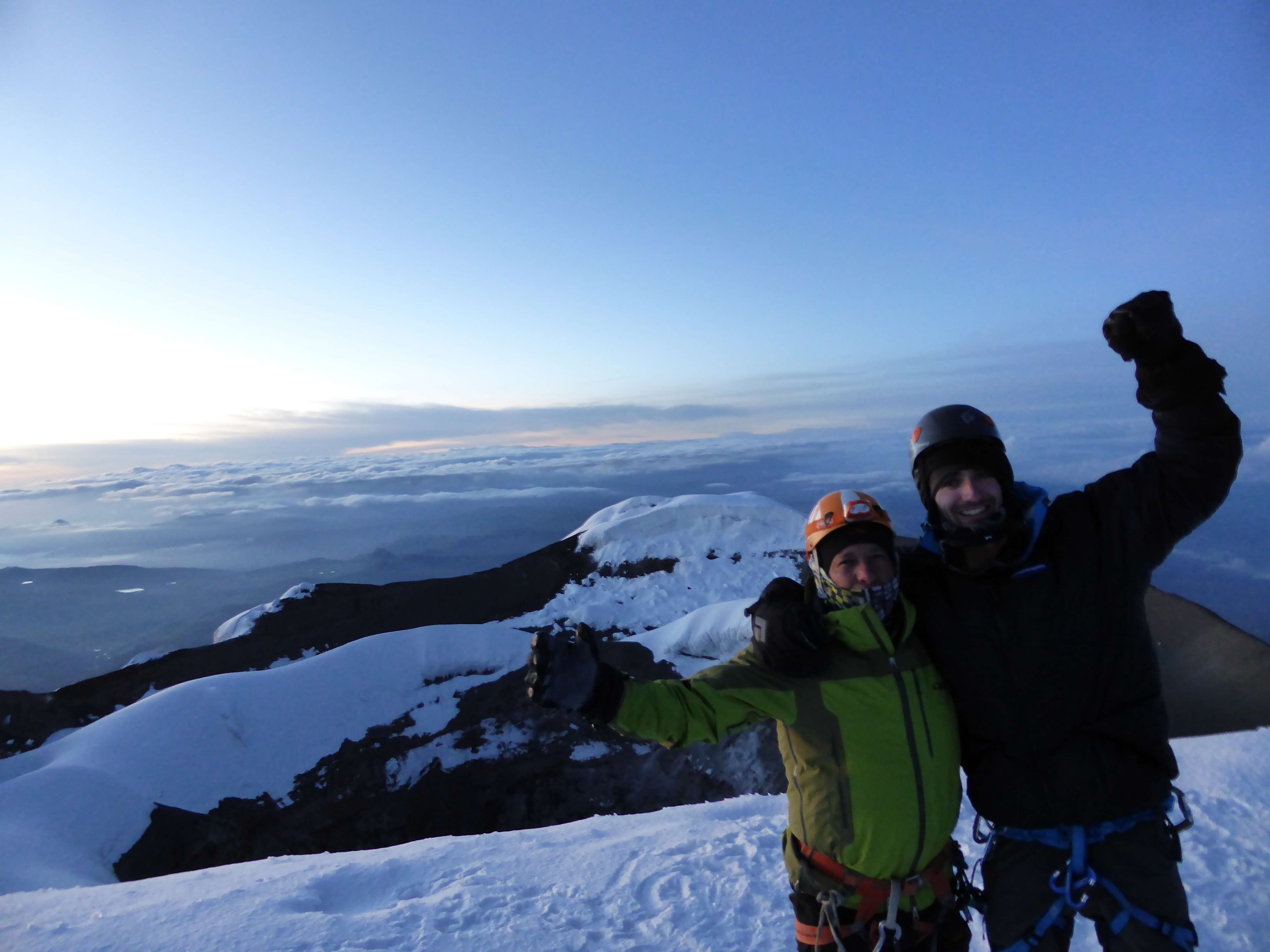
On the summit with Pato.
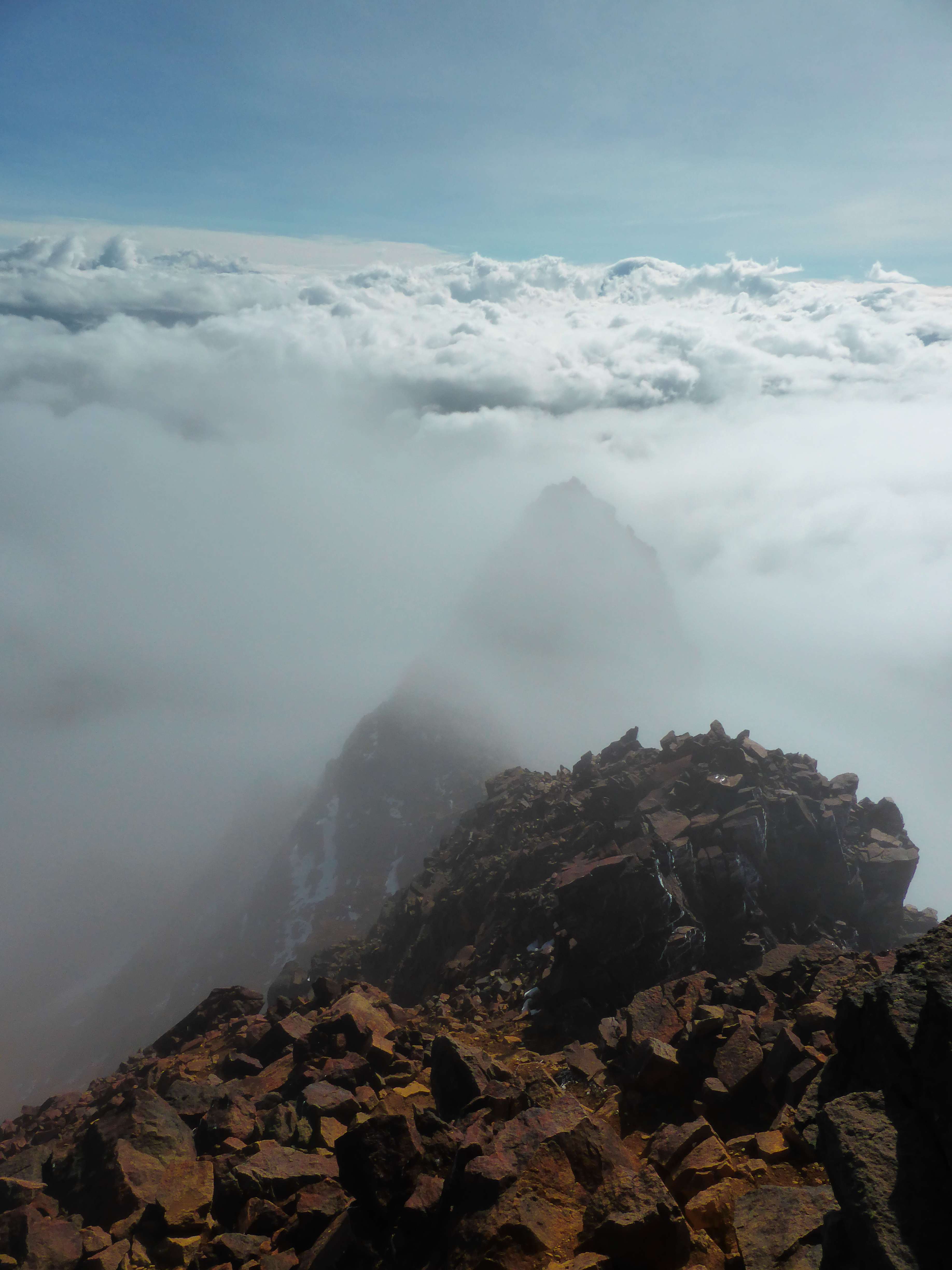
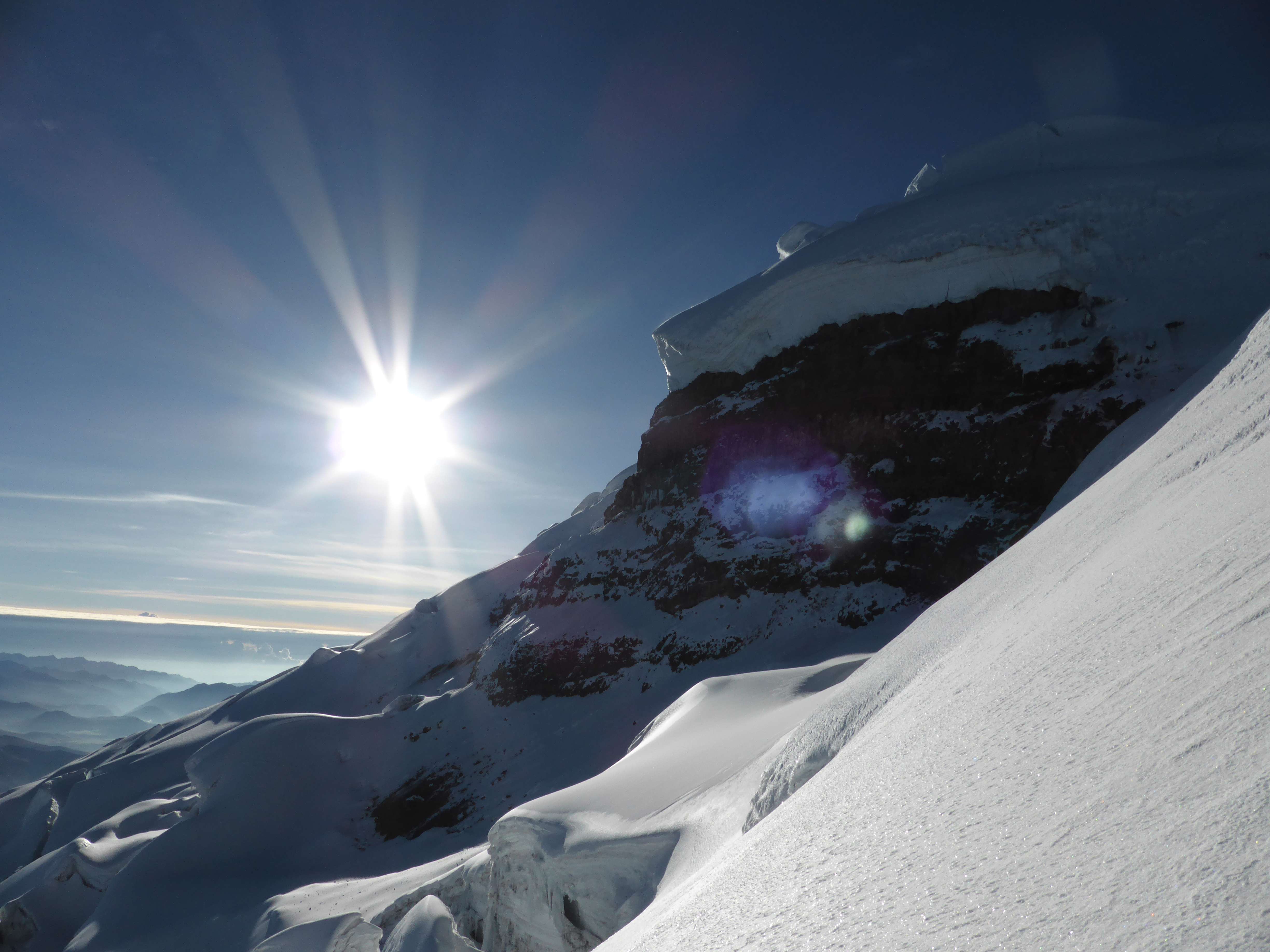
After spending some thirty minutes taking in the scenery and persevering through the bitter wind, we were too cold to continue standing around and decided to begin descending.

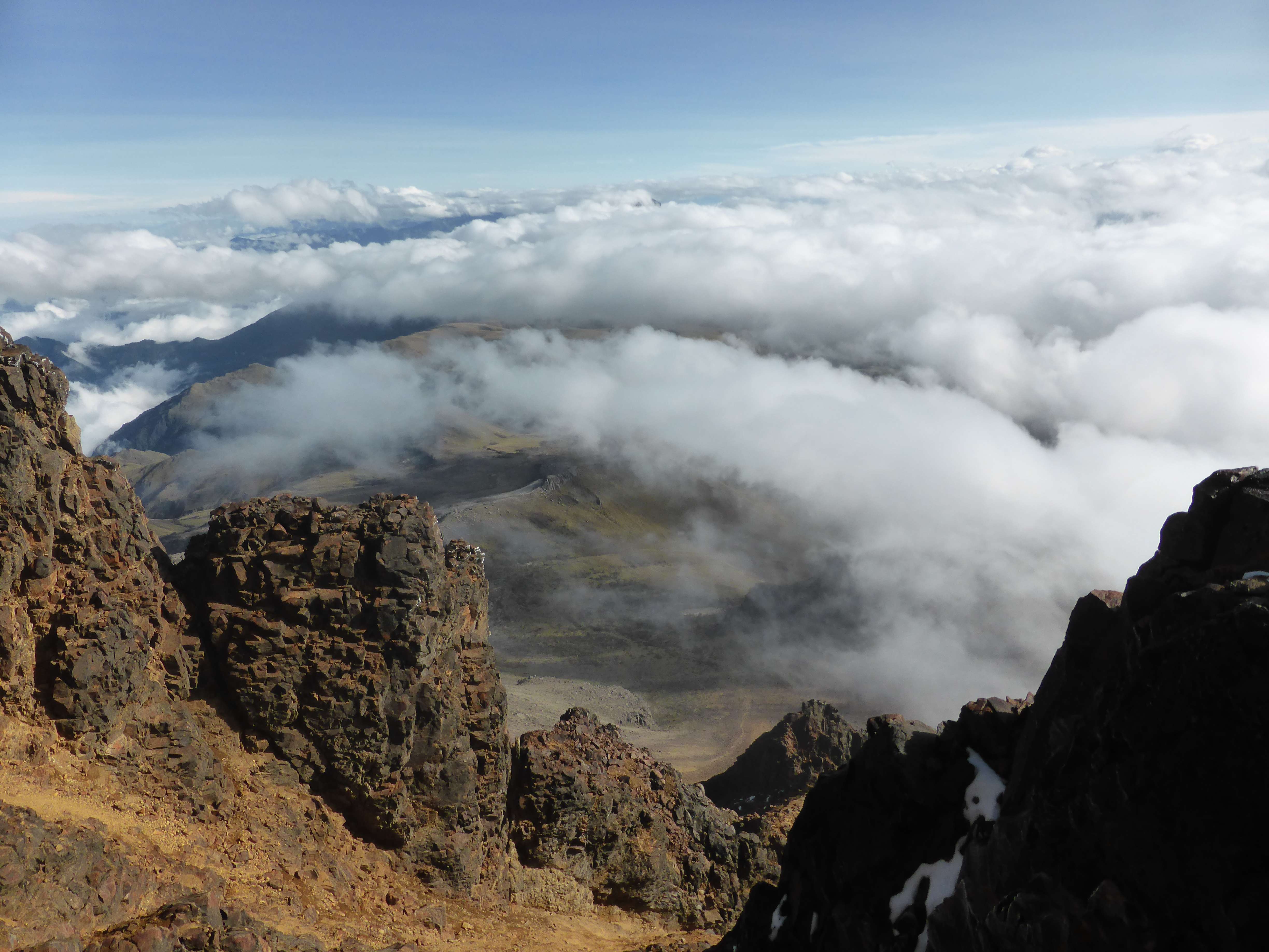
Descending from the summit with clouds far below us.
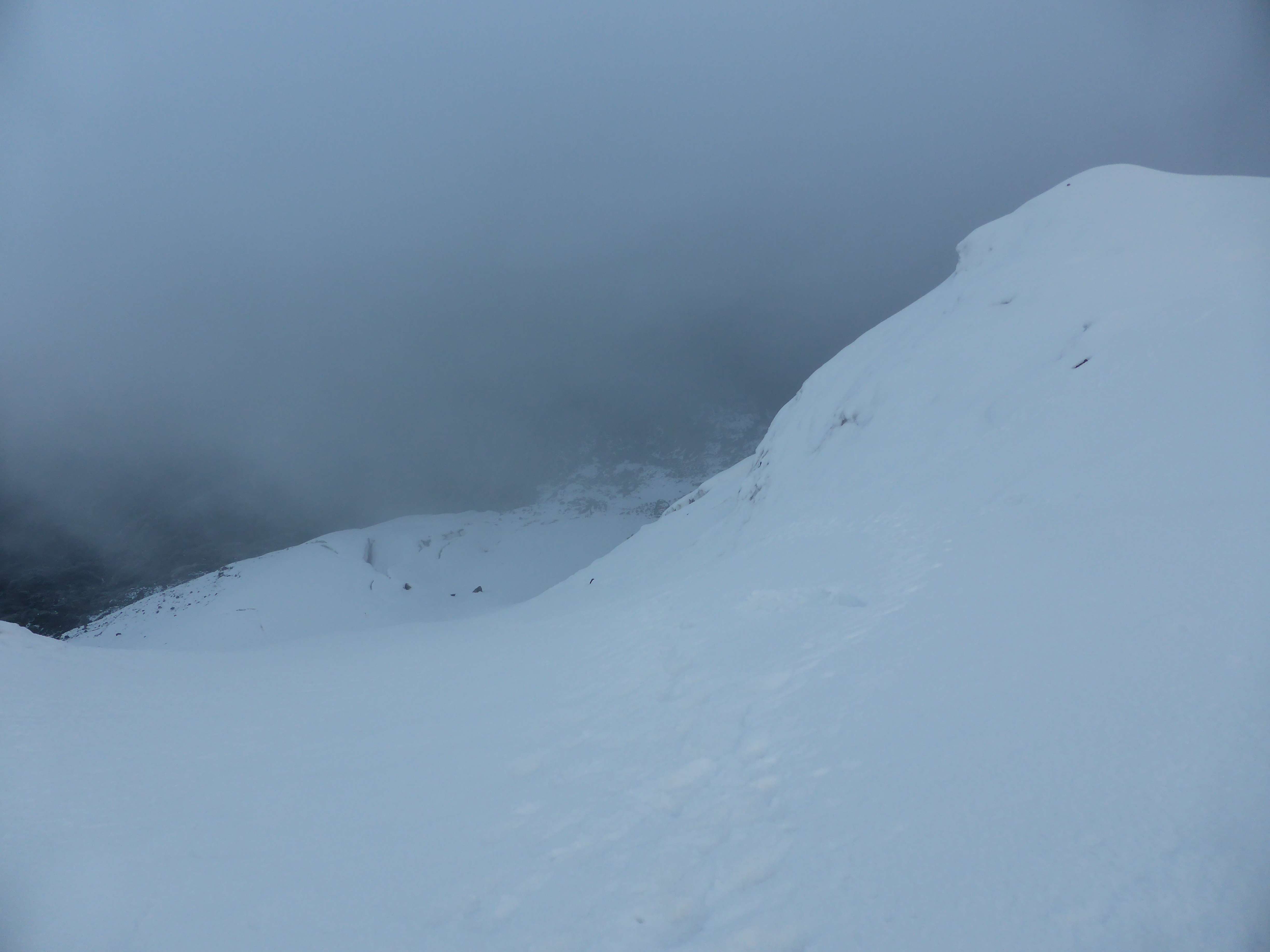
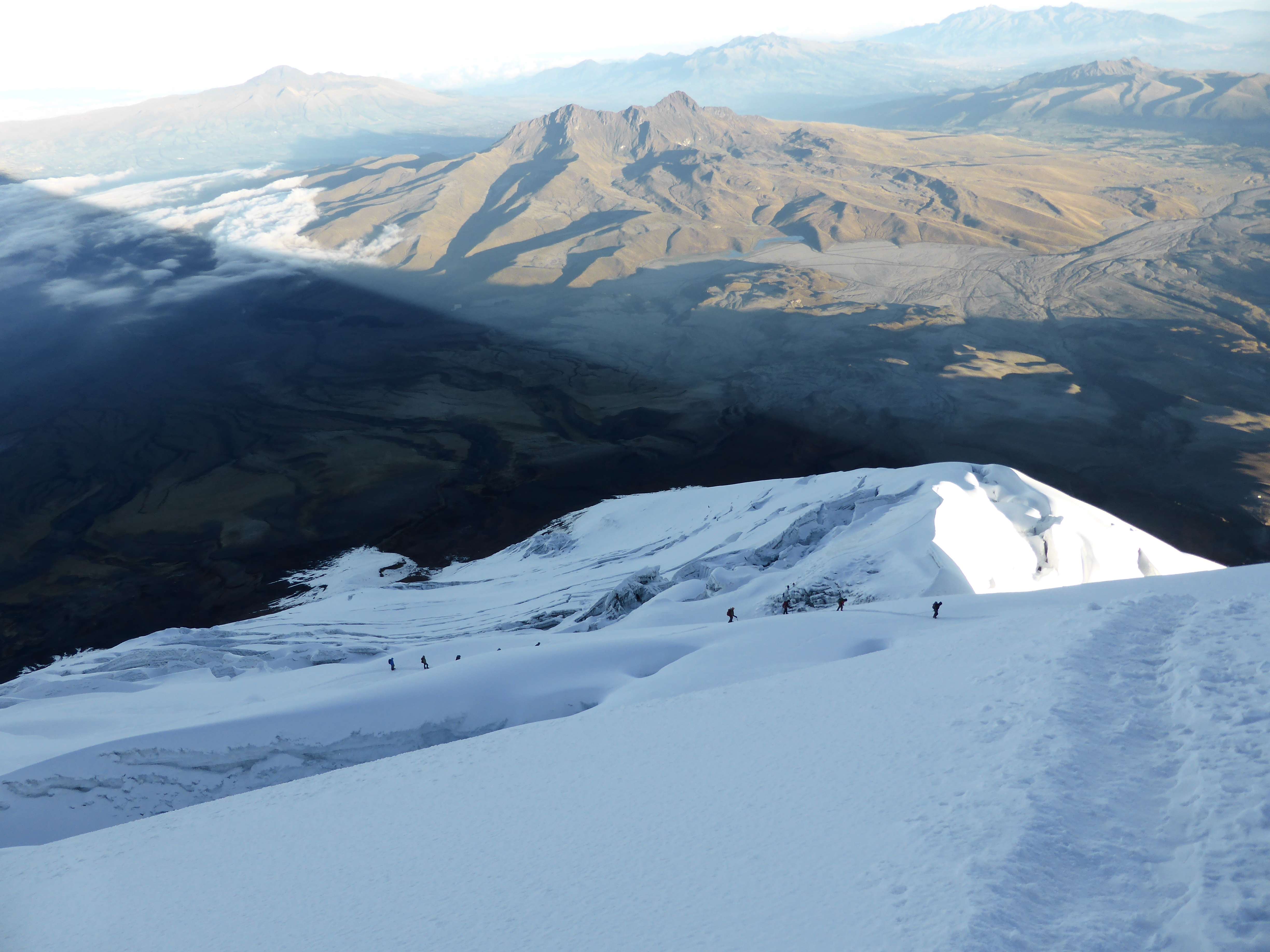
On the way down we passed numerous other teams still ascending. In daylight the crevasse riddled off-route glacier could be seen.
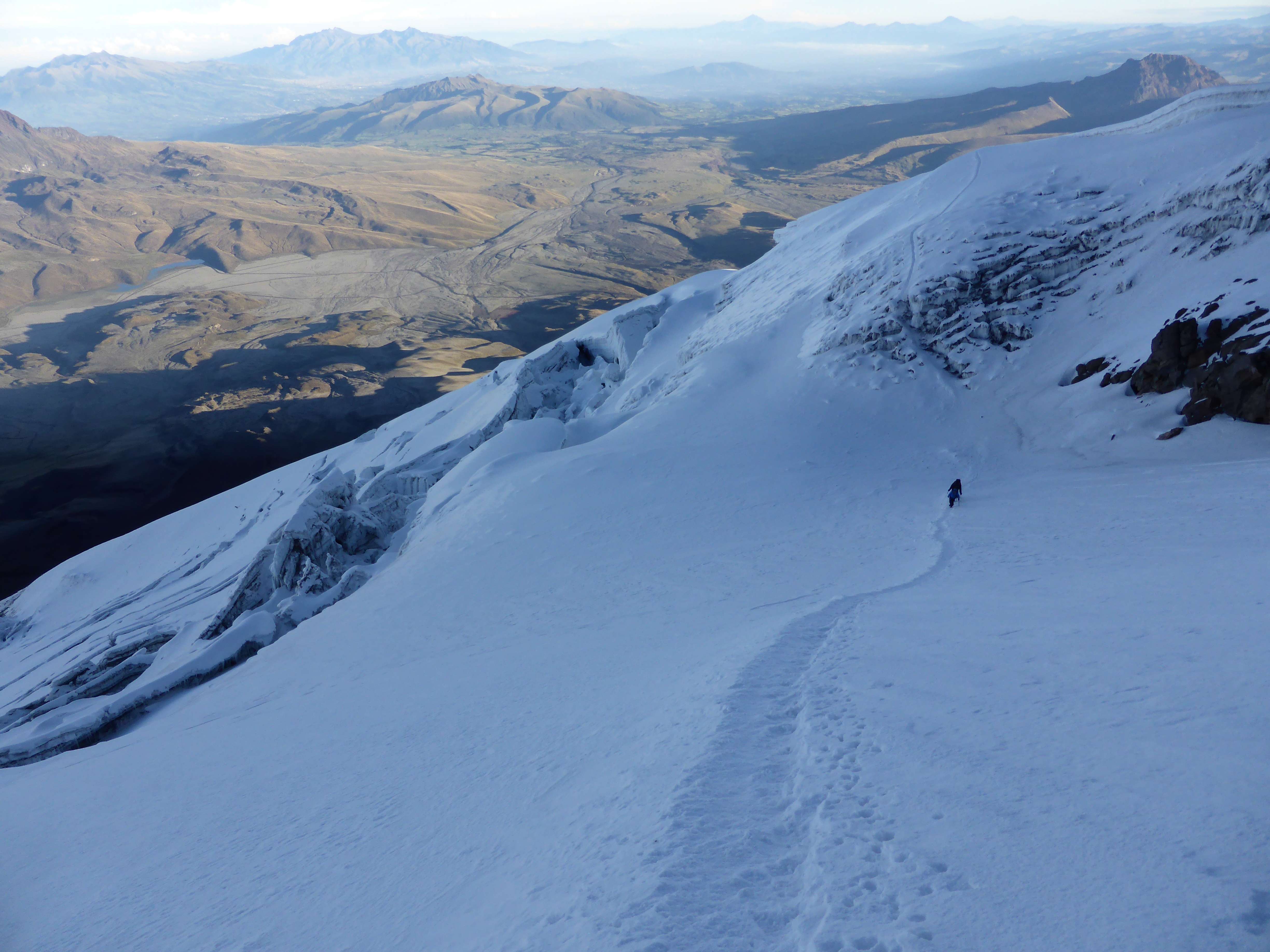
As we descended we met other teams still climbing up.
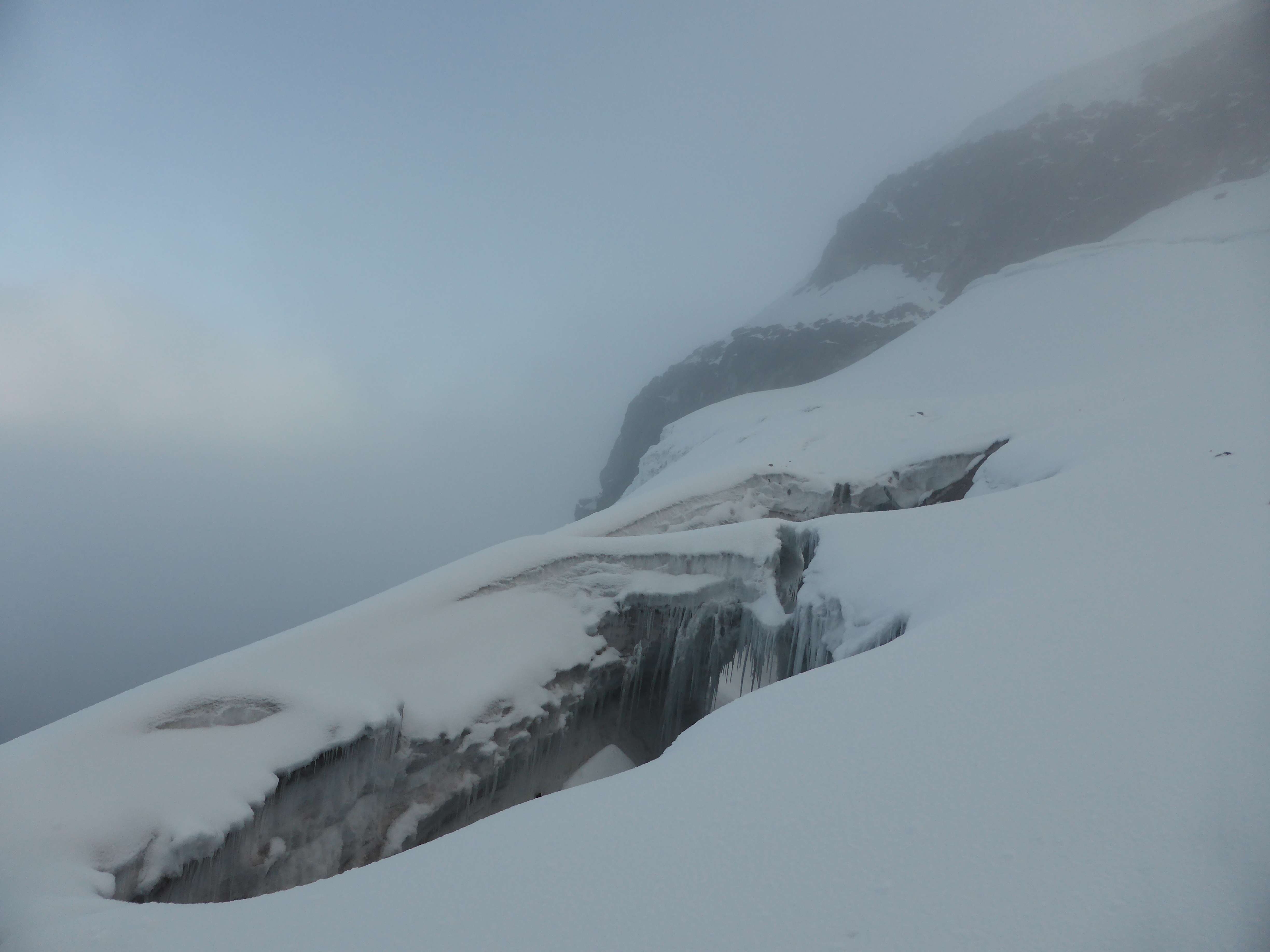
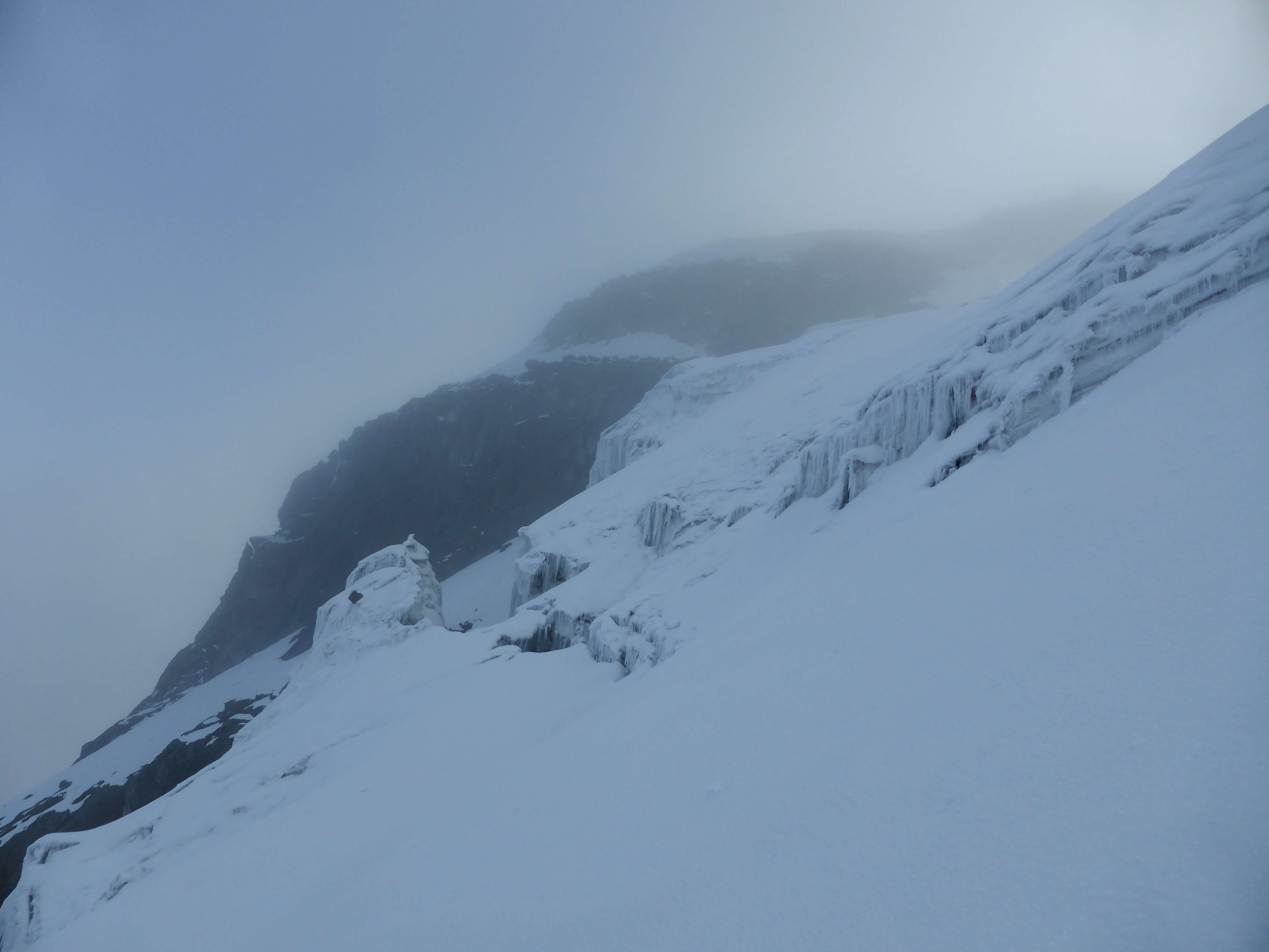
The glacier, heavily crevassed off-route.
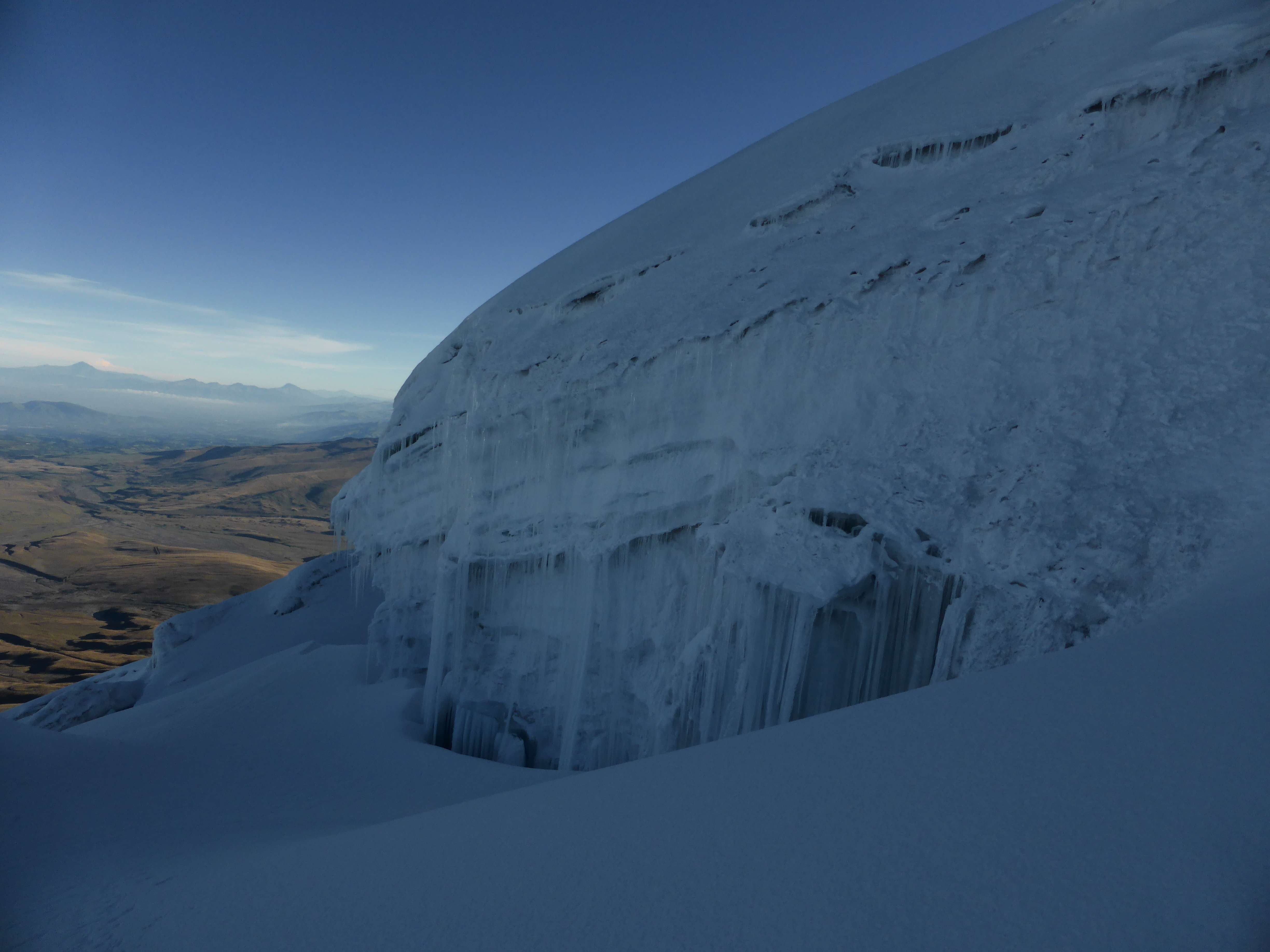
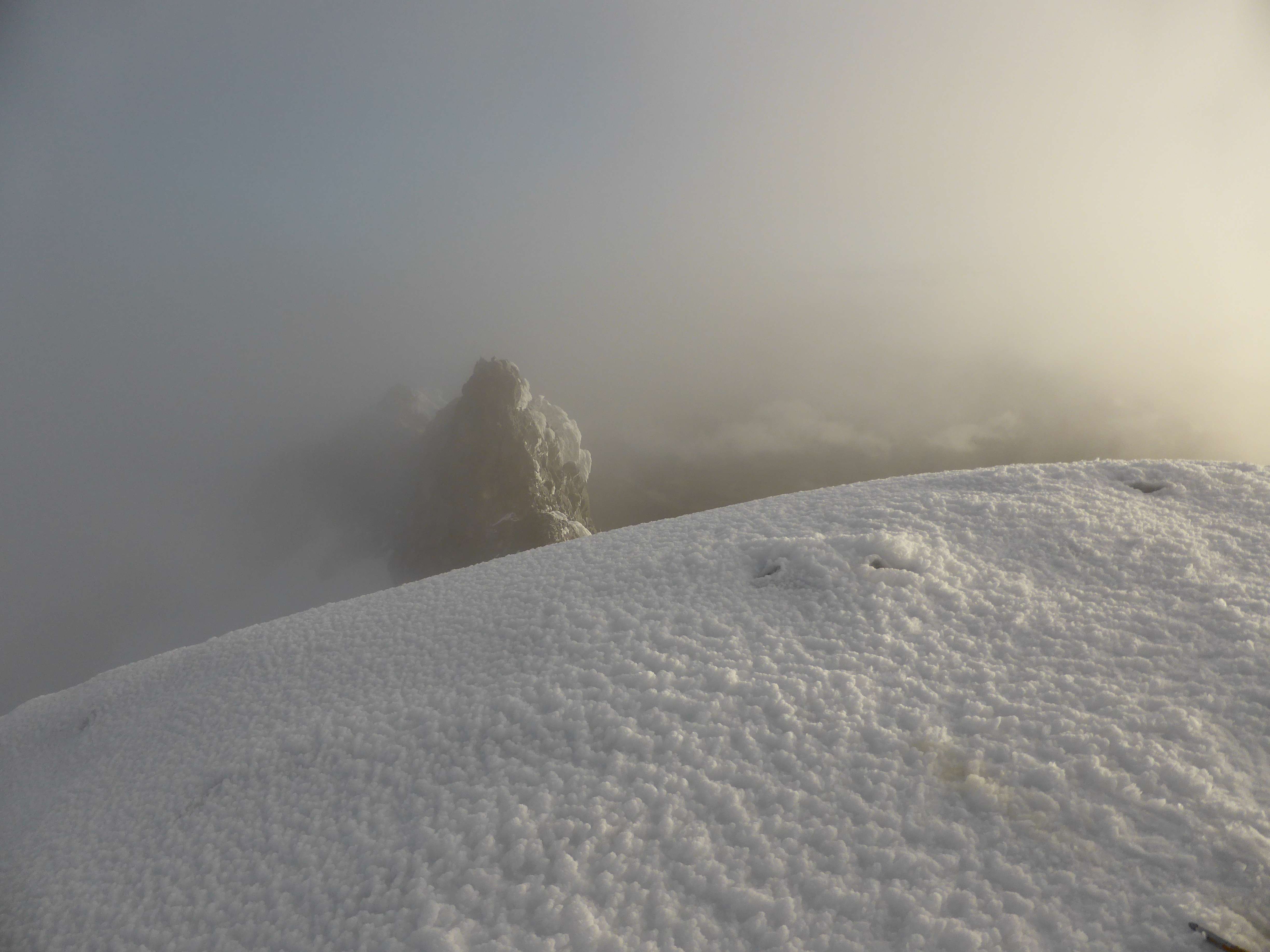
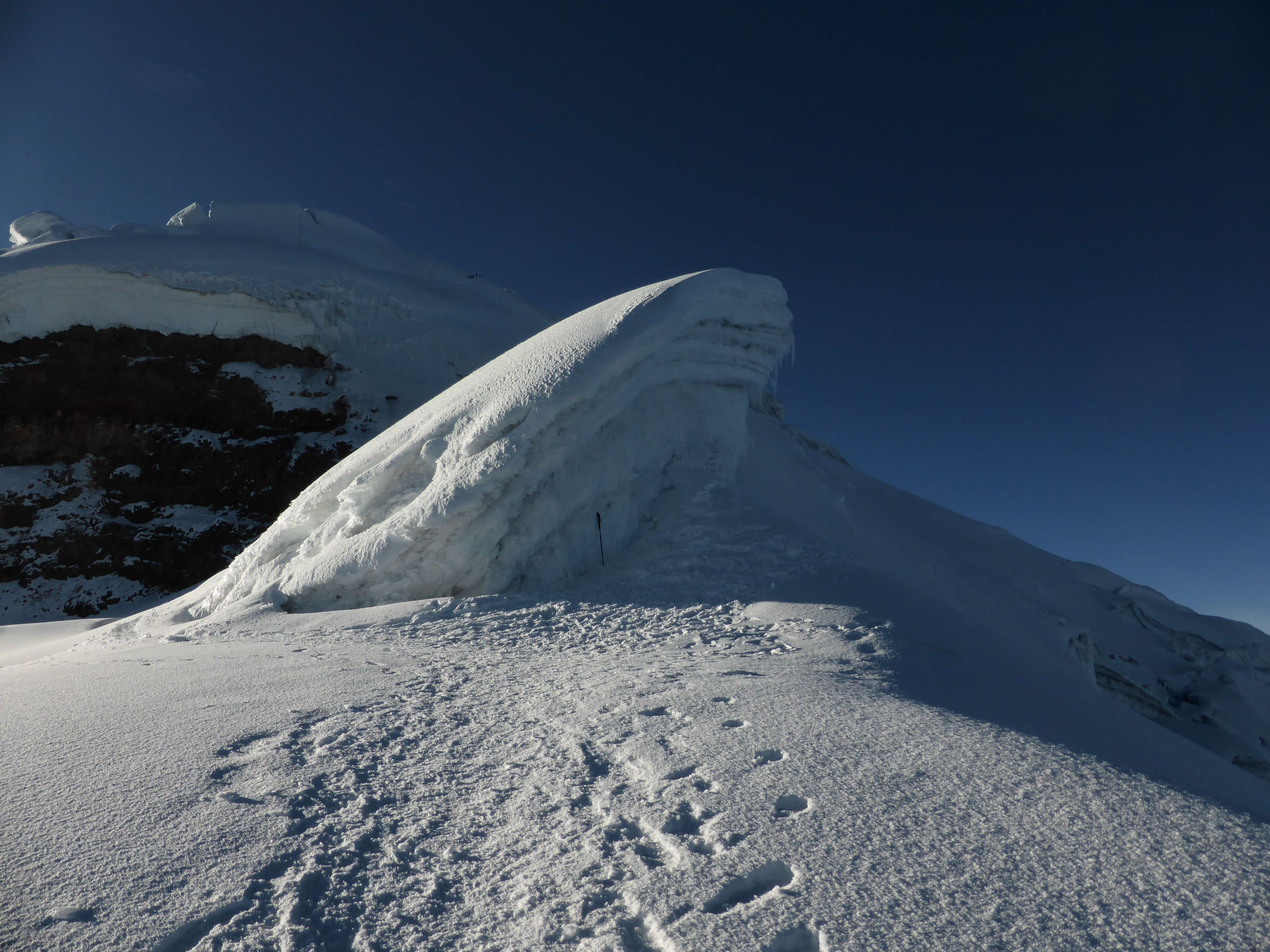
Ice walls stood along the upper mountain.
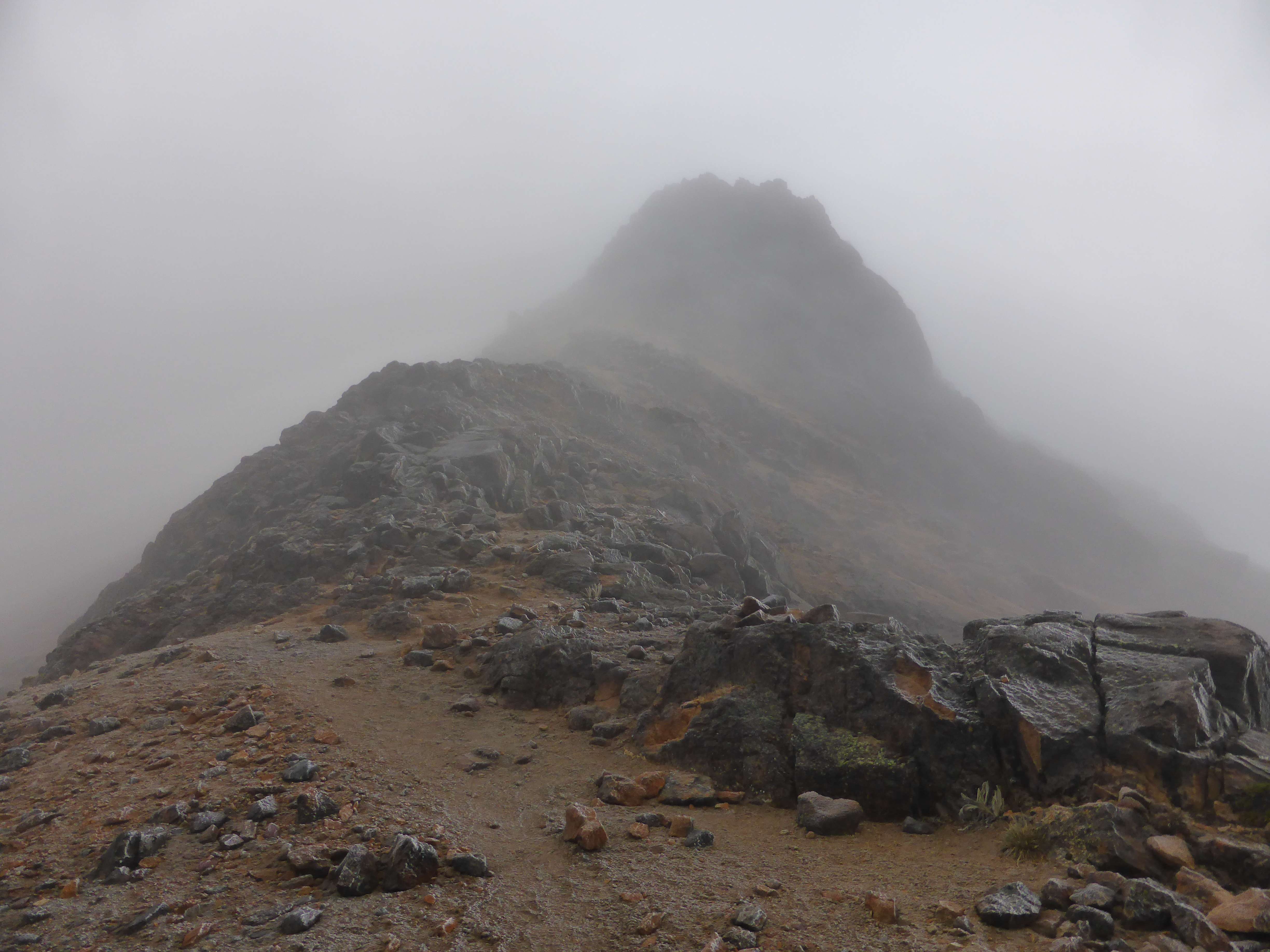
We passed Yanasacha, a prominent rock band near Cotopaxi’s summit, and stopped to absorb the scale of the mountain. Yanasacha is easily seen from a distance, and looks small atop Cotopaxi’s bulk, but up close it stood tall and massive.
Yanasacha in the morning sun.
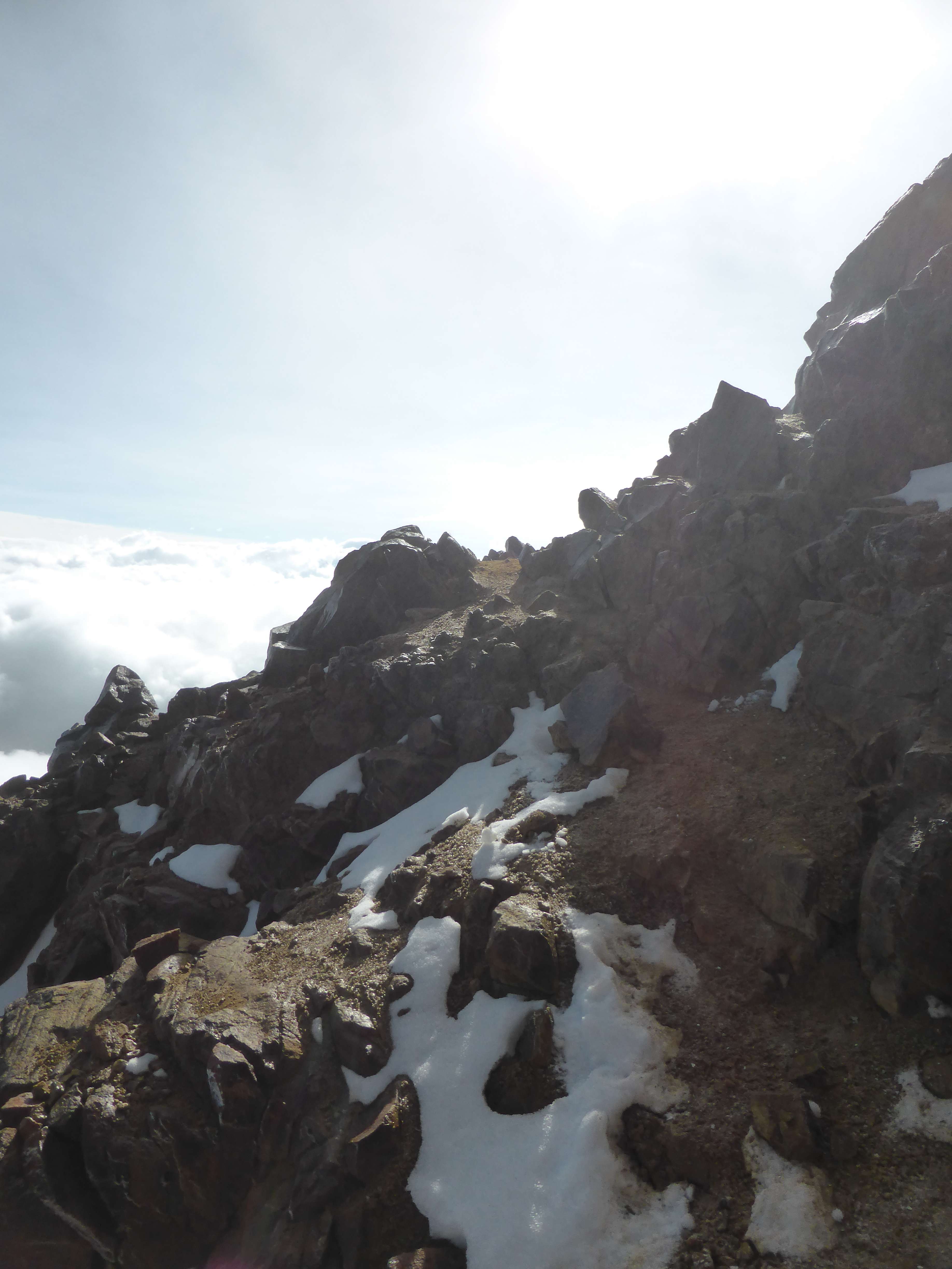
Looking back up the route I could see other teams ascending and the Belgian team coming down, like lines of ants in the snow.
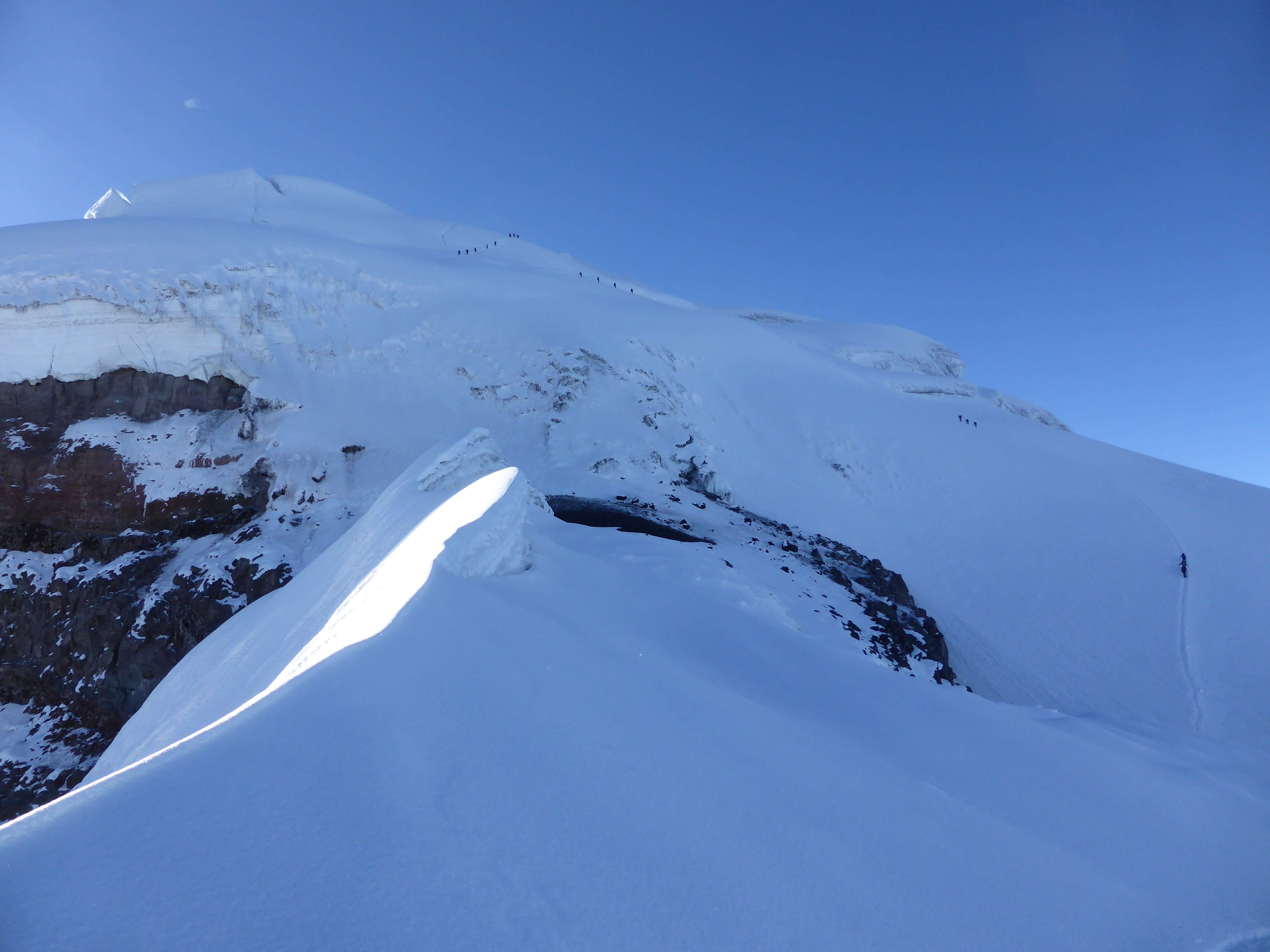
The top of the route. This image provides a good sense of scale as to the size of Cotopaxi. Yanasacha is at center left. When this photo is enlarged one can see the Belgian team of four descending, and another four separate teams still ascending.
Cotopaxi – Yanasacha is the black rock band near the summit.
We made good time descending, and were off of the glacier before the morning sun began to melt and soften the snow. Near the refuge we followed the dirt trail downwards, towards the parking area still far below us.
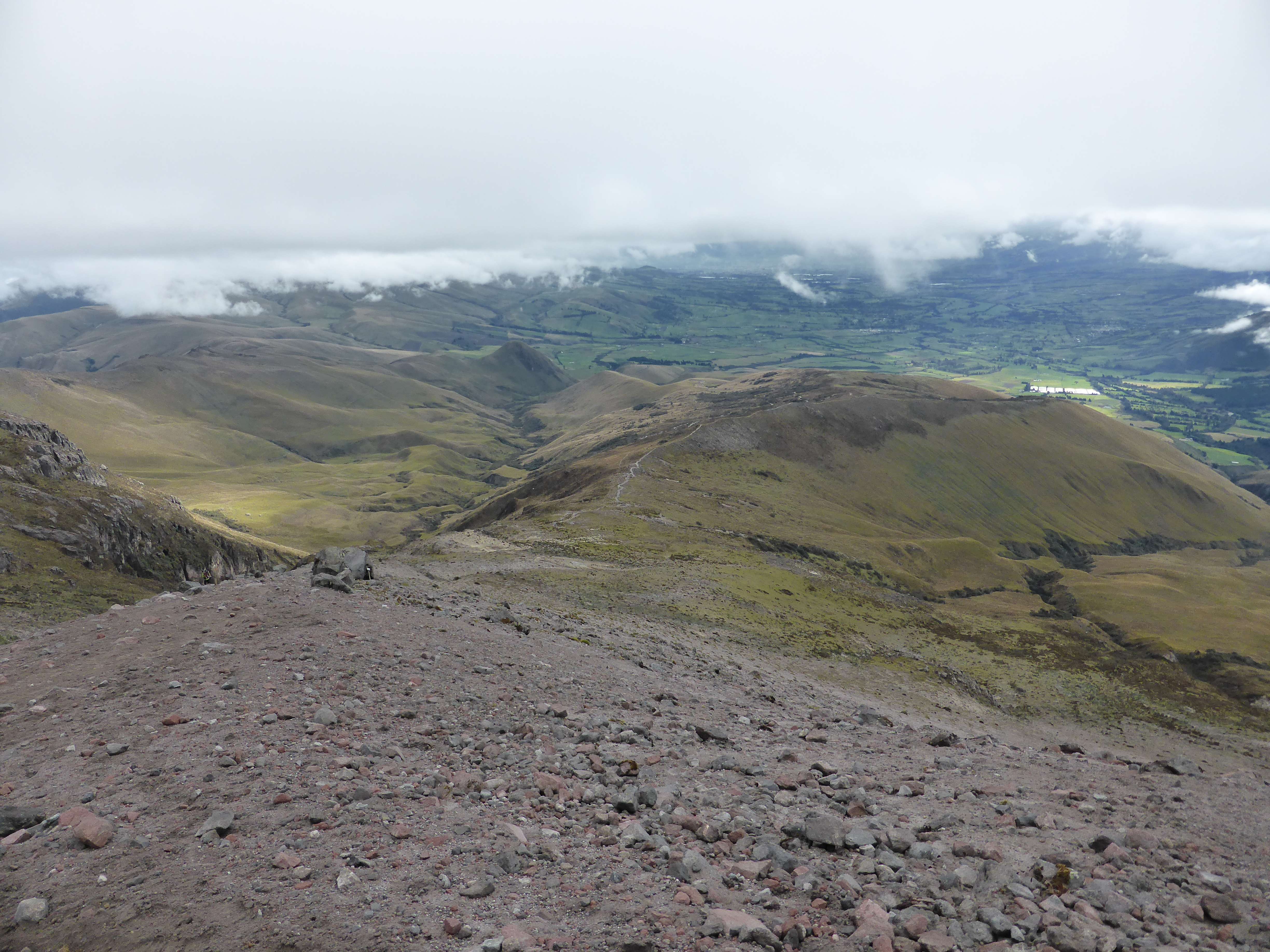
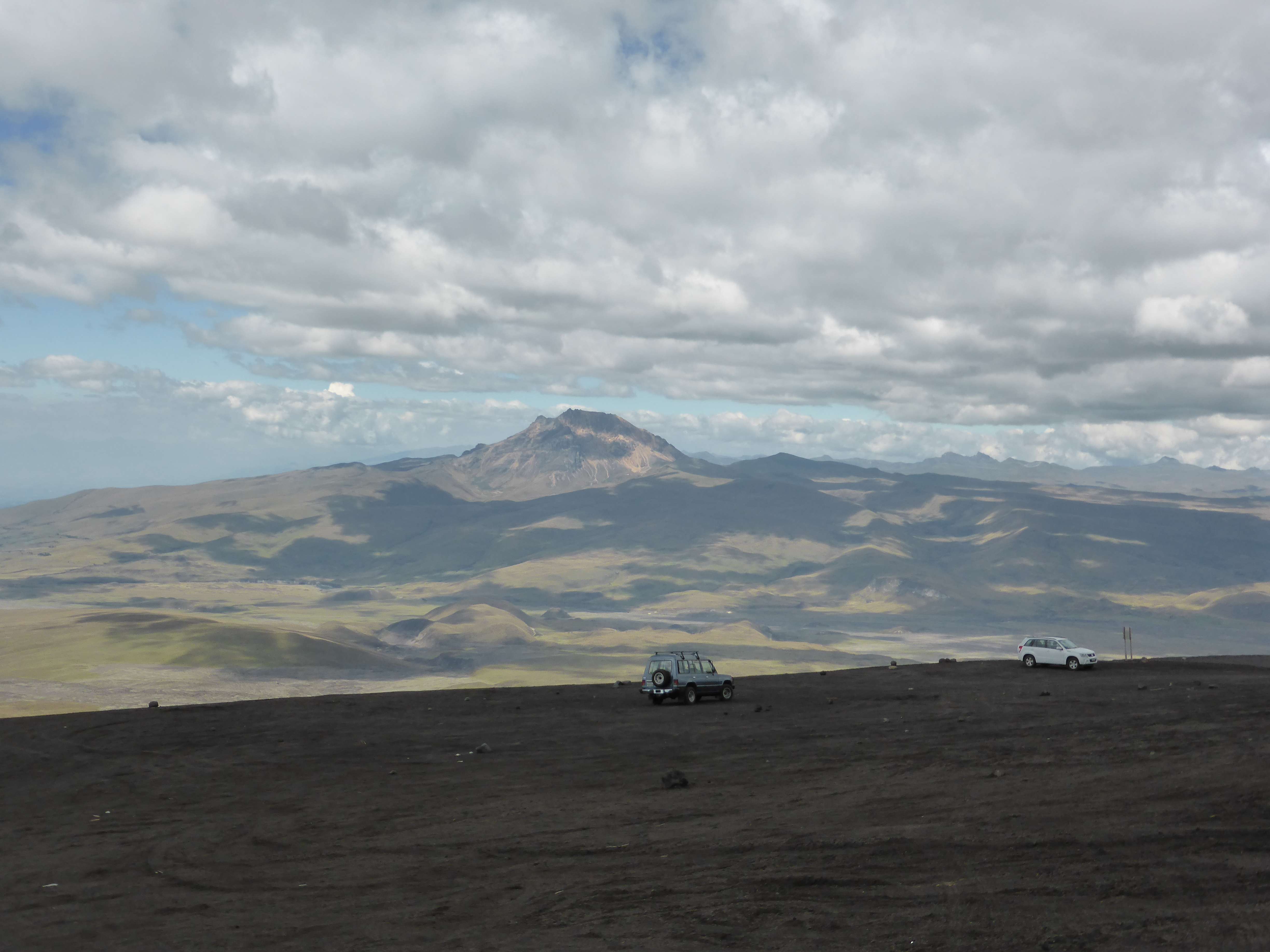
View from above the refuge. The Illinizas to the left, Corazon to the right.

View from above the refuge. The parking area center, the refuge bottom right.
We made it back to our campsite by 9:00 a.m., where we quickly ate some snacks before packing up our equipment and driving back to Machachi for a day of rest. Cotopaxi was a straightforward climb and an enjoyable experience. Clear skies and perfect snow made frigid winds more tolerable, and the extraordinary views from the summit were both breathtaking and rewarding. Well acclimatized, I felt great throughout the climb, and didn’t encounter any altitude related difficulties.
Accessibility
Cotopaxi is perhaps Ecuador’s most accessible mountain, due to its proximity to Quito, good nearby road infrastructure, and enormous tourist popularity. Climbing Cotopaxi involves glacier travel – the route was simple during my visit, but I was told that it varies somewhat in difficulty as conditions on the glacier change year-by-year.
While in Ecuador I stayed in the city of Machachi between climbs, which provided me convenient access to Corazon, Cotopaxi, and the Illinizas. The hostel I used in Machachi, the Puerta al Corazon, was comfortable, well managed, very clean, and had great food. They can be contacted by email at info@puertaalcorazon.com
Ecuador’s high mountains can be climbed year round, but weather is often inclement with high winds and heavy precipitation. December, January, and February are considered the most stable months for climbing due to lower winds and relatively lower chances of rain and snow. That said, I experienced relentlessly high winds on Cotopaxi, which made for a cold hike. The Ecuadorian climbers I met told me that June, July, and August are also popular climbing months, drier but even windier. During my trip fog and rain were common in the afternoons, while morning and night weather was typically clear but windy.
Since late 2012 the Ecuadorian government has mandated that all climbers use the services of a local mountain guide. This policy was put into place in response to a fatal accident on Illiniza Sur. While in Ecuador I met one unguided group – the four Belgians on Cotopaxi – who had managed to get past the park gate and onto the mountain, but this is strongly discouraged, and the national parks strictly enforce the policy by refusing entry to unguided climbers whom they catch. I hired a 1:1 mountain guide and climbed with him throughout my trip. We accessed all of the national parks via a 4×4 truck, which my guide drove and owned. While organizing the logistics and guide for my trip I used the services of Diego Cumbajin Parra, the owner of www.andesclimbing.com, and I would strongly recommend him for his excellent communication, attention to detail, personal presence, and reasonable pricing. My guide Pato was strong, very familiar with all of Ecuador’s mountains, and completely focused on climbing.